Mostly sunny with falling temperatures today! Possibly the coldest temperatures of the season tonight! Mostly sunny and cold on Saturday! Dry and milder on Sunday!


Good morning!

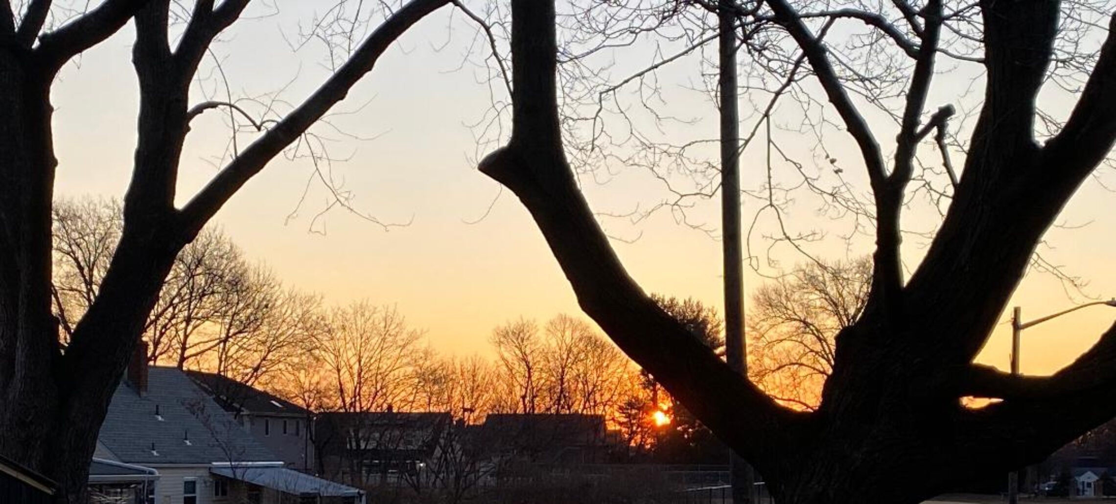
Skies are partly cloudy early on this Friday morning and temperatures range from the mid 30s in Clifton down to the low 20s further inland, winds are from the northwest.

CLIFTON’S ALMANAC FOR FEBRUARY 14TH:

AVERAGE HIGH: 39 AVERAGE LOW: 24

RECORD HIGH: 56 – 2011 RECORD LOW: -3 – 2016

YESTERDAY’S HIGH: 41 LOW: 34 PRECIPITATION: .61″

A polar high pressure will build into our area today providing the area with mostly sunny skies, high temperatures will occur this morning falling to the 20s by sunset. Tonight will be clear and very cold with lows possibly falling to their lowest temperatures of this mild season. So far this season the coldest temperature was 13 degrees which occurred on December 19th.

Tomorrow will be cold but with light winds and mostly sunny skies, not as cold tomorrow night.

The cold weather will again be short lived as Sunday temperatures will again rise to above normal levels along with clear skies.

Monday will be a mostly sunny and mild day.

The next chance of precipitation will be Tuesday and as been the case most of this winter it will be too warm for any frozen precipitation and we should only have rain.

Colder again late Wednesday into Thursday but again the cold will not last that long as milder air is expected by next weekend.

THE FORECAST:

TODAY – FEB 14 – Sunny, morning highs in the 30s falling into the 20s by sunset.

TONIGHT – Clear and very cold, low in the low teens.

SATURDAY – FEB 15 – Sunny, high in the mid 30s.

SUNDAY – FEB 16 – Partly sunny and mileder, high in the upper 40s.

PRESIDENTS DAY – FEB 17 – Mostly sunny, high in the upper 40s.

TUESDAY – FEB 18 – Cloudy with rain likely mainly after 1 p.m., high in the low 50s.

WEDNESDAY – FEB 19 – Partly sunny with a chance of showers , high in the mid 40s.

THURSDAY – FEB 20 – Mostly sunny and colder, high in the mid 30s.

MARINE FORECAST: A small craft advisory is in effect until 7 p.m. this evening for northwest winds gusting to 25 knots, seas 3-5 feet.

OUTLOOK – No advisories expected Saturday through Monday night; possible small craft advisories for Tuesday.

Happy Valentine’s Day!

Periods of rain ending by this afternoon! Dry and much colder Friday and Saturday! Continued dry and milder Sunday and Monday!


Good morning!

Skies are cloudy early on this Thursday morning and there is some light rain falling, temperatures range from the mid 30s in Clifton down to around 30 at High Point, winds are mainly calm.

CLIFTON’S ALMANAC FOR FEBRUARY 13TH:

AVERAGE HIGH: 39 AVERAGE LOW: 24

RECORD HIGH: 57 – 1976 RECORD LOW: 3 – 2016

YESTERDAY’S HIGH: 46 LOW: 35 PRECIPITATION: .13″

Low pressure moving through the area will cause periods of mainly light rain which will end by early this afternoon, temperatures will be mild with highs near 50.

Much colder polar air will cover our area Friday and Saturday with possibly the coldest temperature of this mild winter Saturday morning. Daytime highs will struggle to reach the freezing mark despite plenty of sunshine both days.

The cold won’t last long as been the case much of this winter as a milder return flow will cause milder conditions Sunday into Monday and it will remain dry.

Another frontal system will likely give us some rain Tuesday and Wednesday.

THE FORECAST:

TODAY – FEB 13 – Rain ending by early this afternoon, high near 50.

TONIGHT – Mostly cloudy in the evening then becoming mostly clear and colder, low in the upper 20s.

FRIDAY – FEB 14 – Sunny and cold, high in the low 30s.

SATURDAY – FEB 15 – Sunny and cold, high in the low 30s.

SUNDAY – FEB 16 – Partly sunny and milder, high in the upper 40s.

PRESIDENTS DAY – FEB 17 – Sunny, high in the upper 40s.

TUESDAY – FEB 18 – Mostly cloudy with rain likely, high in the low 50s.

WEDNESDAY – FEB 19 – Mostly cloudy with a chance of rain, high in the mid 40s.

MARINE FORECAST: A small craft advisory is in effect until 4 p.m. Friday afternoon for winds becoming westerly and gusting to 25 knots, seas 3-6 feet.

OUTLOOK: No advisories expected Friday evening through Monday.

Have a nice day!

Partly sunny and seasonably mild today! Rain later tonight into Thursday morning possibly beginning as a mixture of snow and sleet! Much colder but dry Friday and Saturday! Still dry on Sunday and becoming milder!


Good morning!

Skies are partly cloudy early on this Wednesday morning and temperatures range from the upper 30s in Clifton down to around 30 further inland, winds are light westerly.

CLIFTON’S ALMANAC FOR FEBRUARY 12TH:

AVERAGE HIGH: 39 AVERAGE LOW: 24

RECORD HIGH: 60 – 2018 RECORD LOW: 2 – 1979

YESTERDAY’S HIGH: 47 LOW: 41 PRECIPITATION: .39″

We will have partly sunny skies most of the day today as high pressure builds into our area from the Midwest, temperatures will be seasonably mild with most highs in the 40s. We will have an increase in clouds by later this afternoon.

A low pressure system will move through the area tonight giving our area rain beginning around 9 p.m and continue into Thursday morning. Rain may be mixed with snow and sleet at the beginning tonight.

Much colder air will be with us Friday and Saturday with highs struggling to reach the freezing mark both days. Early morning lows Saturday morning will be well down in the teens. Skies both days will be mostly fair.

Milder Sunday and Monday and it will be dry both days as high pressure moves offshore and a southwesterly flow develops.

Mild on Tuesday but with a chance of rain.

THE FORECAST:

TODAY – FEB 12 – Partly sunny, high in the mid 40s.

TONIGHT – Rain developing mainly after 9 p.m., possibly mixed with snow and sleet at the start, low in the mid 30s.

THURSDAY – FEB 13 – Rain mainly before noon, high in the low 50s.

FRIDAY – FEB 14 – Mostly sunny and much colder, high in the low 30s.

SATURDAY – FEB 15 – Sunny and cold, high in the low 30s.

SUNDAY – FEB 16 – Partly sunny and milder, high in the upper 40s.

PRESIDENTS DAY – FEB 17 – Mostly sunny, high near 50.

TUESDAY – FEB 18 – Mostly cloudy with a chance of rain, high near 50.

MARINE FORECAST: TODAY – Northwest winds to 13 knots, seas 1-2 feet.

OUTLOOK – No advisories expected during the day on Thursday; possible small craft advisories for Thursday night into Friday evening; no advisories expected Friday night through Sunday.

Have a nice day!

Periods of rain today ending this afternoon! Mostly sunny and a little cooler on Wednesday! Mixed rain, sleet and snow Wednesday night changing to rain on Thursday! Possibly the coldest air of the season Friday and Saturday!


Good morning!

Light rain is falling across most of the area early on this Tuesday morning and temperatures once again are mild with readings ranging from the low 40s in Clifton down to the mid 30s further inland, winds are mainly calm.

CLIFTON’S ALMANAC FOR FEBRUARY 11TH:

AVERAGE HIGH: 39 AVERAGE LOW: 23

RECORD HIGH: 64 – 2009 RECORD LOW: 0 – 1979

YESTERDAY’S HIGH: 45 LOW: 35 PRECIPITATION: .33″

A weak area of low pressure will be moving through the area this morning and offshore by this afternoon, periods of rain through this morning ending by early this afternoon, temperatures will continue to be mild.

High pressure will then build into the area on Wednesday with slightly cooler air but it still will be above normal. Skies will be mostly sunny in the morning but increasing high clouds should overspread the area in the afternoon.

Another somewhat stronger system will affect our area Wednesday night into Thursday. Precipitation should start off as a mixture of snow, sleet and rain Wednesday night but with no accumulation expected. Rain should fall until Thursday afternoon with mild temperatures.

Possibly the coldest air of the season for Friday and Saturday with both days temperatures struggling to reach the freezing mark with low temperatures Saturday morning well down into the teens.

As has been the case this winter the cold air will be short lived with milder temperatures Sunday and Monday along with dry conditions.

THE FORECAST:

TODAY – FEB 11 – Cloudy with periods of rain ending by early this afternoon, high near 50.

TONIGHT – Mostly cloudy in the evening then becoming partly cloudy, low in the low 30s.

WEDNESDAY – FEB 12 – Partly sunny in the morning with increasing clouds in the afternoon, high in the mid 40s. Mixed snow, sleet and rain developing at night.

THURSDAY – FEB 13 – Rain mainly in the morning, high in the mid 50s.

FRIDAY – FEB 14 – Mostly sunny and much colder, high in the low 30s.

SATURDAY – FEB 15 – Sunny and cold, high near 30.

SUNDAY – FEB 16 – Partly sunny and milder, high in the mid 40s.

PRESIDENTS DAY – FEB 17 – Mostly sunny, high near 50.

MARINE FORECAST: TODAY – Light winds, seas 1-2 feet. A small craft advisory has been posted effective between 6 p.m. this evening until 6 a.m. Wednesday morning.

OUTLOOK – No advisories expected on Wednesday through the day on Thursday; advisories likely Thursday night through Friday evening; no advisories expected late Friday night through Saturday.

Have a nice day!

Mild today and Tuesday with intermittent light rain! Dry and mild during the day on Wednesday! Heavier rain likely Wednesday night into Thursday followed by very cold air Friday and Saturday!


Good morning!

Skies are cloudy early on this Monday morning and there is some light rain falling in parts of the area with some light snow further inland, temperatures range from near 40 in Clifton down to the low 30s further inland, winds are light southerly.

CLIFTON’S ALMANAC FOR FEBRUARY 10TH:

AVERAGE HIGH: 39 AVERAGE LOW: 23

RECORD HIGH: 59 RECORD LOW: 3 – 1994

YESTERDAY’S HIGH: 41 LOW: 27 PRECIPITATION: TRACE

A warm front is in the area this morning and will be followed by a cold front passing through tonight. We likely will have periods of light rain today through Tuesday, temperatures will be mild.

Dry and mild on Wednesday as high pressure builds into the area but a low pressure will likely give us heavier rain Wednesday night through Thursday, the rain may begin as snow especially to our north and west.

Much colder air Friday into Saturday with temperaturers Saturday morning may be the lowest of the season so far with lows well down into the teens.

As has been the case much of the winter the cold air will not last long as Sunday it will be milder along with a chance of rain in the afternoon.

THE FORECAST:

TODAY – FEB 10– Cloudy with periods of light rain, high in the upper 40s.

TONIGHT – Cloudy with periods of light rain likely, low in the upper 30s.

TUESDAY – FEB 11 – Cloudy with periods of light rain, high near 50.

WEDNESDAY – FEB 12 – Mostly sunny, high in the mid 40s, chance of rain or snow after midnight.

THURSDAY – FEB 13 – Cloudy with rain likely, high in the low 50s.

FRIDAY – FEB 14 – Sunny and much colder, high only near 30.

SATURDAY – FEB 15 – Sunny, high in the low 30s.

SUNDAY – FEB 16 – Partly sunny in the morning then mostly cloudy in the afternoon with a chance of rain, high in the mid 40s.

MARINE FORECAST: A small craft advisory is in effect until 9 p.m. tonight for southwest winds gusting to 30 knots, seas 4-6 feet.

OUTLOOK – Small craft advisories possible on Tuesday; no advisories expected during the day on Wednesday; advisories likely Wednesday night through Friday.

Have a nice day!