Good morning everyone!
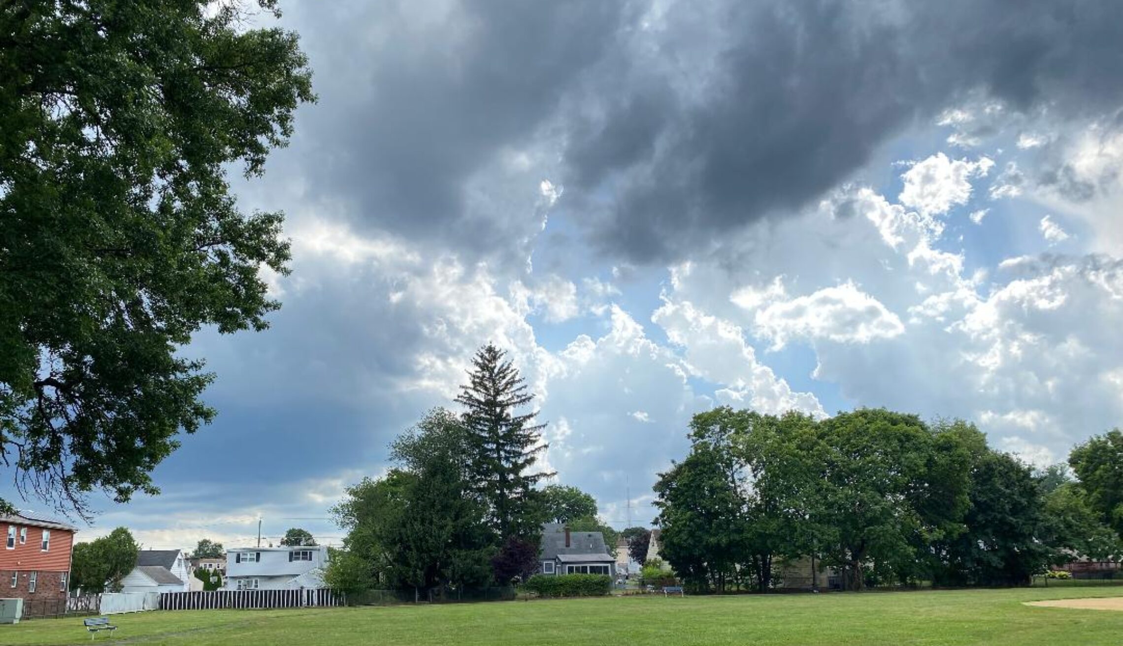
Skies are partly cloudy early on this Wednesday morning and temperatures range from 63 in Clifton down to 58 at High Point. Winds are calm or light northerly. The air quality is good with an index of 14.
CLIFTON’S ALMANAC FOR JULY 8TH
AVERAGE HIGH 85 AVERAGE LOW 65
RECORD HIGH: 99 – 1993 RECORD LOW: 54 – 2000
YESTERDAY’S HIGH: 71 LOW: 61 PRECIPITATION: .03″
After a couple of days of cloudy, rainy and cool weather today sunshine will return that will cause warmer temperatures as weak high pressure builds in from the north. Winds will be light.
Warmer and more humid Thursday and Friday along with a chance of afternoon and evening showers and thunderstorms both days as a cold front approaches our area and moves through Friday night.
A very nice summer weekend is expected with plenty of sunshine both days along with seasonably warm temperatures as high pressure builds into our area.
Mainly dry with a slow warming trend early next week
THE FORECAST:
TODAY – JULY 8 – Sunny, highs in the mid 80s.
TONIGHT – Mostly clear, lows in the upper 60s.
THURSDAY – JULY 9 – Mostly sunny and humid with a chance of afternoon and evening showers and thunderstorms, highs in the mid 80s.
FRIDAY – JULY 10 – Mostly sunny, quite warm and humid with afternoon and evening showers likely with possibly a thunderstorms. Highs near 90.
SATURDAY – JULY 11 – Mostly sunny, highs in the mid 80s.
SUNDAY – JULY 12 – Sunny, highs in the mid 80s
MONDAY – JULY 13 – Mostly sunny, highs in the upper 80s.
TUESDAY – JULY 14 – Sunny and hot, highs in the low 90s.
MARINE FORECAST: TODAY – North-northeast wind to 10 knots, seas 2 feet. Belmar’s ocean temperature is 73 degrees.
OUTLOOK: No advisories expected Thursday through Sunday.
Have a nice day but stay safe!