Good morning everyone!
Skies are partly cloudy early on this Saturday morning and temperatures range from 59 in Clifton down to 50 at Walpack. Winds are light from the north. The air quality is good with an index of 33.
CLIFTON’S ALMANAC FOR OCTOBER 3RD:
AVERAGE HIGH: 69 AVERAGE LOW: 51
RECORD HIGH: 85 – 2023 RECORD LOW: 35 – 2003
YESTERDAY’S HIGH: 87 LOW: 64 PRECIPITATION: .01″
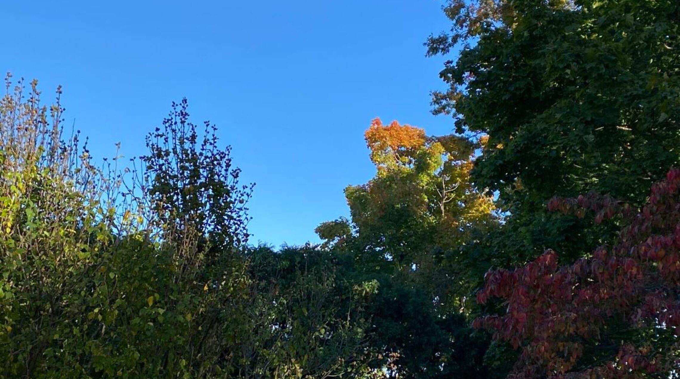
High pressure building from the north will give us a pleasant fall day today with cooler temperatures and low humidity.
A weak low pressure system will develop on the front to our south that will give us a chance of light rain Sunday afternoon and evening!
Monday looks to be dry with near seasonable temperatures.
The coolest air of the season is likely Tuesday morning through Wednesday morning with low temperatures well down into the 40s with some 30s further inland. There may be some frost well inland Wednesday morning as winds will be calm.
A moderating trend in temperatures by Wednesday afternoon that should last through the end of next week and we should stay dry.
THE FORECAST:
TODAY – OCT 3 – Sunny, highs in the low 70s.
TONIGHT – Mostly clear, lows in the low 50s.
SUNDAY – OCT 4 – Increasing cloudiness with a chance of showers in the afternoon and evening, highs in the mid 60s.
MONDAY – OCT 5 – Mostly cloudy in the morning becoming mostly sunny in the afternoon, highs in the low 70s.
TUESDAY – OCT 6 – Sunny, highs in the low 60s.
WEDNESDAY – OCT 7 – Sunny, highs in the upper 60s.
THURSDAY – OCT 8 – Sunny, highs in the low 70s.
FRIDAY – OCT 9 – Sunny, highs in the low 70s.
MARINE FORECAST: TODAY – North-northeast winds to 10 knots, seas 2 feet.
OUTLOOK; Possible advisories on Sunday; mainly below advisory levels Monday through Thursday.
Have a nice weekend and stay safe!