Good morning everyone!
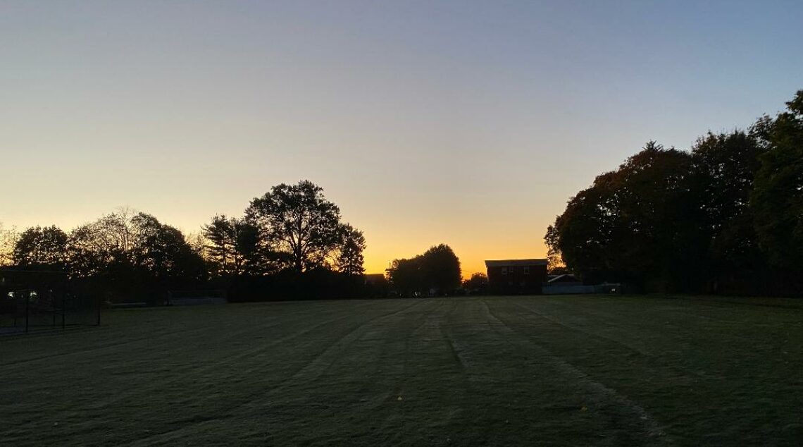
Skies are clear early on this Thursday morning and it is milder than the last couple of mornings with temperatures ranging from 51 in Clifton down to 45 at Blairstown, Hackettstown and Walpack. Winds are mainly light from the southwest. The air quality is good with an index of 32.
CLIFTON’S ALMANAC FOR OCTOBER 8TH:
AVERAGE HIGH: 67 AVERAGE LOW: 49
RECORD HIGH: 88 – 2007 RECORD LOW: 32 – 1988
YESTERDAY’S HIGH: 69 LOW:42 PRECIPITATION: NONE
Today will be a mostly sunny day with mild temperatures. A cold front will come through dry during the late morning. It will be breezy with some gusts to 25 mph.
Dry with near seasonable temperatures along with mostly sunny skies both on Friday and again on Saturday.
Remnants of Hurricane Isaias which will hit the Gulf coast tomorrow will then cause rain possibly heavy at times in our area Sunday afternoon through Monday morning.
A cold front will cause some showers on Tuesday followed by dry and cooler weather for Wednesday as a Canadian high pressure builds toward our area.
THE FORECAST:
TODAY – OCT 8 – Sunny and breezy, highs in the mid 70s, wind gusts to 25 mph.
TONIGHT – Mostly clear, lows in the low 50s.
FRIDAY – OCT 9 – Sunny, highs in the low 70s.
SATURDAY – OCT 10 – Mostly sunny, highs near 70.
SUNDAY – OCT 11 – Mostly cloudy with a chance of showers mainly after 2 p.m., highs in the upper 60s.
MONDAY – OCT 12 – Mostly cloudy with showers likely mainly before 8 a.m., highs near 70.
TUESDAY – OCT 13 – Mostly sunny with a chance of a shower, highs in the mid 70s.
WEDNESDAY – OCT 14 – Mostly sunny and cooler, highs in the low 60s.
MARINE FORECAST: TODAY – Westerly winds to 10 knots, seas 2 feet.
OUTLOOK: No advisories expected for Friday and Saturday; possible advisories for Sunday and Monday.
Have a nice day and stay safe!