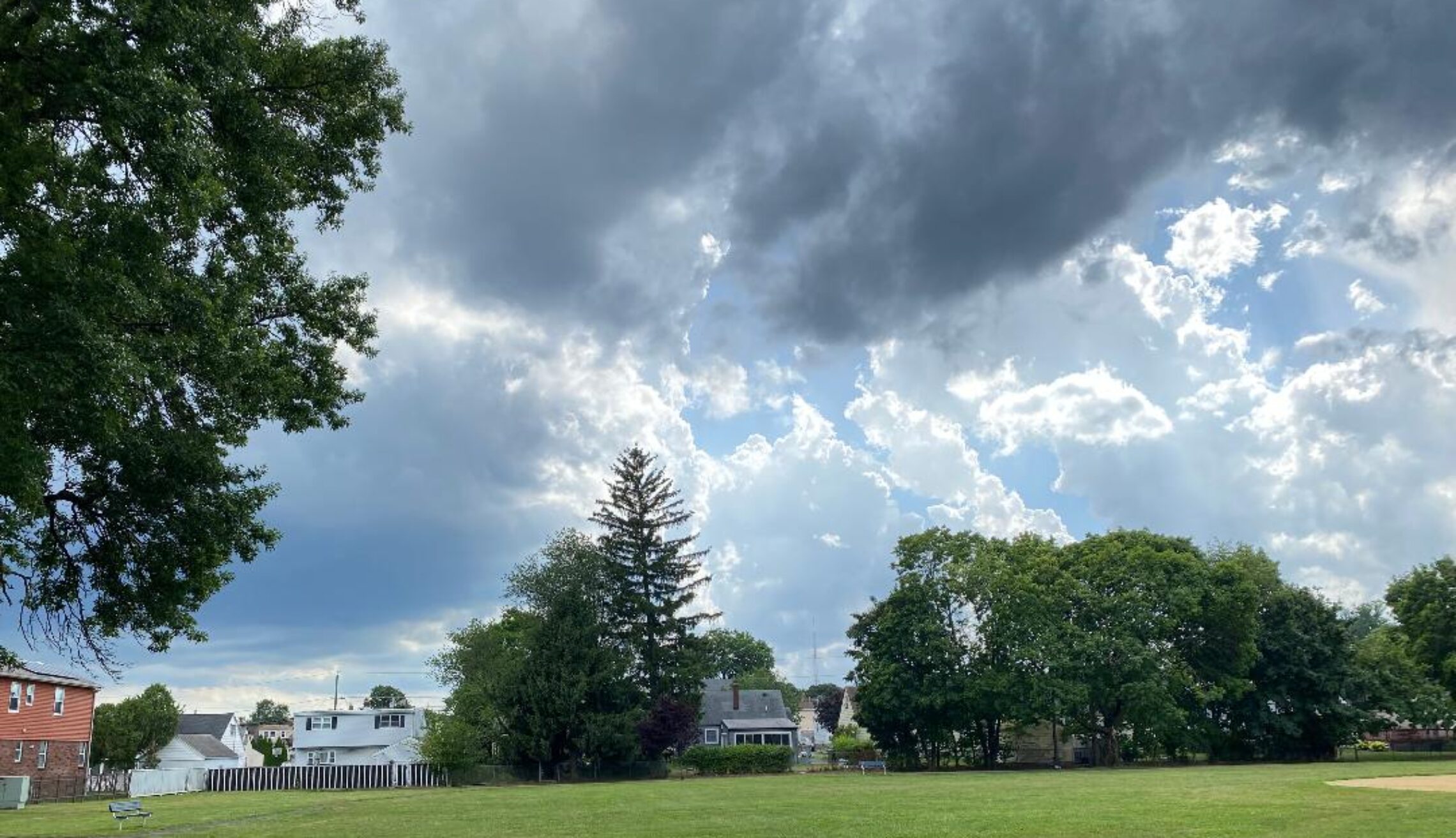
Mostly sunny and pleasantly mild today! Showers likely tomorrow night through Thursday! Dry but quite hot Friday through the weekend!


Good morning everyone!

Skies are mostly clear early this morning and it is quite cool especially inland,  temperatures range from the low 60s in the Clifton area down to the chilly mid 40s in some spots well inland, winds are light and the humidity is low.

High pressure will be in control of our weather today giving our area mostly sunny skies with comfortable temperatures and humidity.

The high pressure will move off the coast on Wednesday causing increasing cloudiness with some showers at night, high temperatures with the clouds and an onshore wind will be mainly in the upper 70s.

A trough of low pressure will likely cause showers and thunderstorms on Thursday, some of the showers may be heavy at times.

A heatwave is still expected Friday through the weekend with highs in the 90s with increasing humidity however we should stay dry through this period.


THE FORECAST:

TODAY – JUN 26 – Sunny, high in the upper 70s.

TONIGHT – Partly cloudy, low in the low 60s.

WEDNESDAY – JUN 27 – Increasing cloudiness, high in the upper 70s, showers likely at night.

THURSDAY – JUN 28 – Mostly cloudy with showers and thunderstorms likely, high in the mid 80s.

FRIDAY – JUN 29 – Sunny, high in the low 90s.

SATURDAY – JUN 30 – Sunny, high in the low 90s.

SUNDAY – JUL 1 – Sunny, high in the mid 90s.

MONDAY – JUL 2 – Sunny, high in the low 90s.


MARINE FORECAST:  TODAY – Southeast wind to 8 knots, seas 1-2 feet.  Belmar’s ocean temperature is 68 degrees.

OUTLOOK – No advisories expected through Wednesday evening;  possible small craft conditions for high seas late Wednesday night through Thursday evening; no advisories expected from late Thursday night through Saturday.


Enjoy the pleasant weather today!

Delightful early summer weather today through Wednesday! Showers likely on Thursday! Heatwave Friday through the weekend!


Good morning everyone!

Skies are partly cloudy early this morning and temperatures range from the upper 60s in the Clifton area down to the upper 50s further inland, winds are light northwesterly.

A cold front crossed the area early this morning and we should see clearing skies as high pressure builds in from the Great Lakes, temperatures will be warm but with decreasing humidity.

Tonight will be cool especially inland where lows may drop to near 50 degrees.  Tuesday will be a mostly sunny day with temperatures a bit below normal.

Wednesday will be on the cool side but with increasing humidity and a chance of showers at night.

Showers are likely on Thursday as a low pressure trough moves through the area.

The main story Friday through the weekend will be the heat with high temperatures reaching the 90s each day with moderate to high humidity, however we should stay dry throughout the period.


THE FORECAST:

TODAY – JUN 25 – Mostly sunny, high in the mid 80s.

TONIGHT – Mostly clear, low in the upper 50s.

TUESDAY – JUN 26 – Sunny, high in the upper 70s.

WEDNESDAY – JUN 27 – Increasing clouds, high in the upper 70s, chance of showers at night.

THURSDAY – JUN 28 – Mostly cloudy with a chance of showers and thunderstorms, high in the mid 80s.

FRIDAY – JUN 29 – Sunny, high in the low 90s.

SATURDAY – JUN 30 – Mostly sunny, high in the mid 90s.

SUNDAY – JUL 1 – Sunny, high in the mid 90s.


MARINE FORECAST:  TODAY – Northwest winds to 11 knots, seas 1 foot.  Belmar’s water temperature is 68 degrees.

OUTLOOK – No advisories expected Tuesday through Wednesday evening; advisories possible for high seas late Wednesday night through Thursday evening;  no advisories expected Thursday night through Friday.


Enjoy today’s nice weather!

Warmer today with a chance of afternoon and evening showers and thunderstorms! Delightful early summer weather Monday and Tuesday!


Good morning everyone!

Skies are cloudy early this morning and temperatures are mainly in the low to middle 60s across the area, winds are mainly calm and the humidity is high with some patchy fog in some spots.

Yesterday’s forecast was a bit of a bust as we only received .01 of an inch of rain that occurred just after midnight, the rest of the day and night stayed dry and cool.

Today will be warmer despite considerable cloudiness, most of the day will stay dry but there is a chance of afternoon and evening showers and thunderstorms as a cold front approaches.

The cold front will cross the area overnight and high pressure will build into the are providing us with plenty of sunshine Monday and Tuesday along with low humidity and seasonably warm temperatures.

A little warmer on Wednesday but still a rather pleasant day with mostly sunny skies.

A warm front is expected to move through the area on Thursday with a chance of showers and thunderstorms, temperatures will warm to well up into the 80s.

Hot temperatures Friday through next weekend with plenty of sunshine each day and high temperatures rising to well up into the 90s.


THE FORECAST:

TODAY – JUN 24 – Mostly cloudy and warmer with a chance of afternoon showers and thunderstorms, high in the upper 80s.

TONIGHT – Chance of showers and thunderstorms before midnight, mostly cloudy, low in the upper 60s.

MONDAY – JUN 25 – Mostly sunny and less humid, high in the low 80s.

TUESDAY – JUN 26 – Sunny, high near 80.

WEDNESDAY – JUN 27 – Mostly sunny, high in the mid 80s.

THURSDAY – JUN 28 – Mostly cloudy with a chance of showers and thunderstorms, high in the upper 80s.

FRIDAY – JUN 29 – Mostly sunny, hot and humid, high in the low 90s.

SATURDAY – JUN 30 – Mostly sunny, quite hot and humid, high in the mid 90s.


MARINE FORECAST:  TODAY – Southerly winds to 10 knots, seas 3 feet.   Belmar’s ocean temperature is 66 degrees.

OUTLOOK – No advisories expected Monday and Tuesday; advisories likely Wednesday and Thursday.


Have a nice day!

Cloudy and cool today with occasional showers! Warmer on Sunday with a chance of afternoon and evening showers and thunderstorms!


Good morning everyone!

Skies are cloudy early this morning and there are some scattered showers in parts of the area, temperatures range from the low 60s in the Clifton area down to the mid 50s further inland, winds are calm or light easterly.

A warm front to our south will move slowly toward our area today producing showers today and tonight although it won’t be a total washout, with the clouds and an onshore wind temperatures will be cool.

The warm front will cross the area overnight tonight and Sunday will be warmer and more humid.  Most of the day will be dry but there is a chance of afternoon and evening showers and thunderstorms as a cold front approaches.

Very nice weather Monday through Wednesday with seasonably warm temperatures, plenty of sunshine and low to moderate humidity.

A disturbance may touch off some showers on Thursday.

A heatwave is likely Thursday though the Fourth of July with 90s likely each day along with higher humidity.


THE FORECAST:

TODAY – JUN 23 – Cloudy with occasional showers, high in the mid 70s.

TONIGHT – Mostly cloudy with showers likely, low in the mid 60s.

SUNDAY – JUN 24 – Mostly cloudy in the morning then partly sunny in the afternoon with a chance of showers and thunderstorms, warmer and more humid, high in the upper 80s.

MONDAY – JUN 25 – Mostly sunny and less humid, high in the low 80s.

TUESDAY – JUN 25 – Sunny, high near 80.

WEDNESDAY – JUN 26 – Mostly sunny, high in the low 80s.

THURSDAY – JUN 27 – Partly sunny with a chance of showers and thunderstorms, high near 90.

FRIDAY – JUN 28 – Partly sunny, high in the low 90s.


MARINE FORECAST:   A small craft advisory is in effect until 6 a.m. Sunday morning for southeast winds gusting to 25 knots, seas 4-5 feet.  Belmar’s ocean temperature is 66 degrees.

OUTLOOK – No advisories expected Sunday through Tuesday; possible small craft conditions on Wednesday.


Have a nice weekend!

Cooler today with rain likely after midnight! Showers continuing on Saturday! Warmer on Sunday with late thunderstorms possible!


Good morning everyone!

Skies are mostly cloudy early this morning and temperatures range from the upper 60s in the Clifton area down to the middle 50s further inland, winds are mainly light from the east.

Today we will have considerable cloudiness and with the clouds and an onshore wind it will be much cooler than yesterday.

A warm front approaching the area will likely cause showers from after midnight tonight through Saturday night, temperatures will continue to be below normal.

The warm front will move north of our area late Saturday night bring in warmer and more humid air.  Most of Sunday will be dry but there is a low chance of showers and thunderstorms late in the day and evening as a cold front crosses.

Delightful early summer weather Monday through Wednesday as high pressure will dominate providing us with plenty of sunshine each day with seasonably warm temperatures.

Thursday a front may cause some showers.

Latest indication show that next weekend will be very warm to hot.


THE FORECAST:

TODAY – JUN 22 – Mostly cloudy, high in the mid 70s.

TONIGHT – Cloudy with showers likely mainly after 2 a.m., low in the low 60s.

SATURDAY – JUN 23 – Cloudy with showers and thunderstorms likely, high in the mid 70s.

SUNDAY – JUN 24 – Partly sunny, warmer and more humid, high in the upper 80s, chance of showers and thunderstorms at night.

MONDAY – JUN 25 – Mostly sunny and less humid, high in the low 80s.

TUESDAY – JUN 26 – Sunny, high near 80.

WEDNESDAY – JUN 27 – Mostly sunny, high in the low 80s.

THURSDAY – JUN 28 – Partly sunny with a chance of showers and thunderstorms, high in the upper 80s.


MARINE FORECAST:  TODAY – Easterly winds to 12 knots, seas 1-2 feet.

OUTLOOK – A small craft advisory has been posted for Saturday effective from 2 a.m. until noon; near advisory level seas from Saturday afternoon through Monday morning;  no advisories expected from late Monday through Tuesday.


Enjoy your Friday!