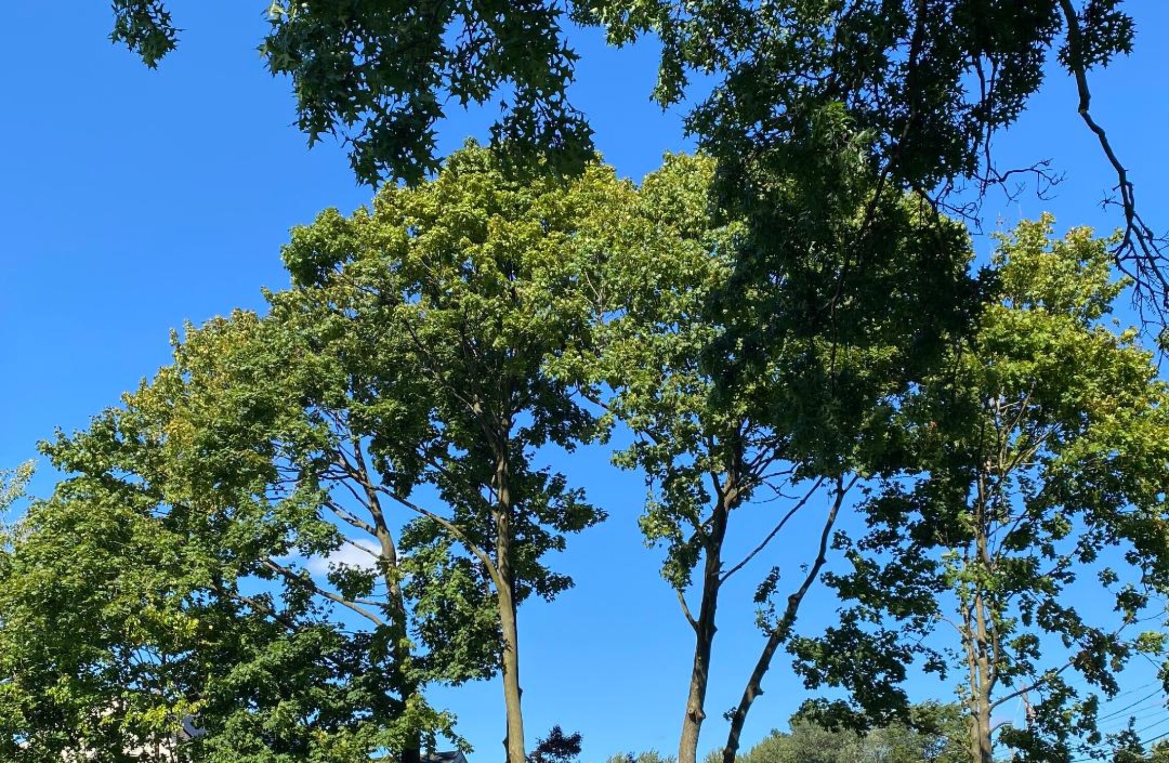
Partly sunny with comfortable temperatures and humidity today through Thursday! Warming trend beginning on Friday and last through most of next week!


Good morning everyone!

Another cool August morning as with mostly clear skies temperatures at 5 a.m. range from 60 degrees in Clifton down to a chilly 49 at Walpack. Winds are mainly calm.

CLIFTON’S WEATHER ALMANAC FOR AUGUST 3RD.

AVERAGE HIGH: 85 AVERAGE LOW: 66

RECORD HIGH: 98 – 2006 RECORD LOW: 54 – 1985

YESTERDAY’S HIGH: 80 LOW: 59 PRECIPITATION: NONE

High pressure will give our area a pleasant day today with continued comfortable humidity and temperatures slightly below normal. There will be less wind than yesterday along with some more high cloudiness.

Continued mainly dry with comfortable temperatures and humidity Wednesday and Thursday.

A warming trend will start on Friday and be with us through the weekend and into most of next week as the Bermuda high builds into our area. Temperatures will be mainly in the upper 80s to near 90 Friday through Sunday and be in the low 90s through at least the middle of next week. The only chance of precipitation will be in afternoon or evening showers both Saturday and Sunday as the humidity will also increase.

THE FORECAST:

TODAY – AUG 3 – Increasing cloudiness, high in the low 80s.

TONIGHT – Mostly cloudy, low in the low 60s.

WEDNESDAY – AUG 4 – Mostly cloudy, high near 80.

THURSDAY – AUG 5 – Partly sunny, high in the low 80s.

FRIDAY – AUG 6 – Sunny, high in the upper 80s.

SATURDAY – AUG 7 – Partly sunny with a chance of an afternoon or evening shower and thunderstorm, high in the upper 80s.

SUNDAY – AUG 8 – Partly sunny with a chance of an afternoon or evening shower and thunderstorm, high near 90.

MONDAY – AUG 9 – Mostly sunny, high near 90.

MARINE FORECAST: TODAY – Variable winds less than 5 knots, seas 2 feet. Point Pleasant Beach’s ocean temperature is 74 degrees.

OUTLOOK – No advisories expected Wednesday through Saturday.

Have a nice day and stay safe!

Mostly sunny and quite pleasant today with comfortable temperatures and humidity! Dry weather to continue Tuesday and Wednesday! Chance of showers on Thursday!


Good morning everyone!

Skies across the area are mostly clear and temperatures at 5 a.m. range from 59 in Clifton down to 55 at High Point, winds are mainly calm.

CLIFTON’S WEATHER ALMANAC FOR AUGUST 2ND:

AVERAGE HIGH: 85 AVERAGE LOW: 66

RECORD HIGH: 99 – 2006 RECORD LOW: 56 – 1998

YESTERDAY’S HIGH: 79 LOW: 59 PRECIPITATION: .17″

High pressure building into our area will give us a nice early August day with plenty of sunshine, temperatures will reach the low 80s and the dew points will fall to the comfortable 50s.

Continued nice weather Tuesday and Wednesday as high pressure dominates, highs both days will be in the low 80s with comfortable humidity.

At this point Thursday will have the best chance of showers as a weak front moves into our area.

Mainly dry weather with an increase in temperatures and humidity Friday through the weekend.

Hot and humid weather is likely for much of next week!

THE FORECAST:

TODAY – AUG 2 – Sunny, high in the low 80s.

TONIGHT – Mostly clear, low in the low 60s.

TUESDAY – AUG 3 – Partly sunny, high in the low 80s.

WEDNESDAY – AUG 4 – Partly sunny, high in the low 80s.

THURSDAY – AUG 5 – Partly sunny with a chance of showers, high in the low 80s.

FRIDAY – AUG 6 – Mostly sunny, high in the upper 80s.

SATURDAY – AUG 7 – Partly sunny, high in the mid 80s.

SUNDAY – AUG 8 – Partly sunny, high near 90.

MARINE FORECAST: TODAY – North-northwest winds to 10 knots, seas 1-2 feet. Point Pleasant Beach’s ocean temperature is 74 degrees.

OUTLOOK – No advisories expected Tuesday through Friday.

JULY 2021 CLIFTON’S MONTHLY SUMMARY:

AVERAGE TEMPERATURE: 76.3 – Which is near normal: Highest temperature 96 – on the 6th ; Lowest – 55- 31st (coolest July temperature since 2007) – 8 days had temperatures of 90 degrees or higher –

PRECIPITATION: 7.56″ 9th wettest since 1973. Highest daily rainfall 1.93″ on the 29th (Severe weather caused 5 tornadoes in New Jersey) Many stations in our area had more rainfall with 11.09″ at Central Park and 8.91″ at Newark both had their 3rd wettest July.

Have a nice day and stay safe!

Increasing cloudiness and cool today with a chance of afternoon and evening showers! Dry and pleasant Monday through Wednesday! Chance of showers on Thursday! Becoming warmer and more humid by next weekend!


Good morning everyone!

Another cool morning to start the month of August as temperatures at 5 a.m. range from 60 in Clifton down to 52 at Walpack. Winds are mainly calm.

CLIFTON’S ALMANAC FOR AUGUST 1ST:

AVERAGE HIGH: 85 AVERAGE LOW: 66

RECORD HIGH: 98 – 2006 RECORD LOW: 57 – 1990

YESTERDAY’S HIGH: 79 LOW: 55(New Record) PRECIPITATION: NONE

A weak frontal system moving into our area will cause an increase in clouds today with a chance of some afternoon or evening showers and thunderstorms, however some areas will remain dry all day. Temperatures will be cooler than normal with highs only reaching the upper 70s.

Pleasant weather is expected Monday through Wednesday with dry conditions and temperatures slightly below normal.

A weak trough of low pressure may cause some showers on Thursday followed by dry conditions on Friday, temperatures will continue to be at or slightly below normal.

Warmer and more humid weather is expected by next weekend and possibly extending to much of next week.

THE FORECAST:

TODAY – AUG 1 – Increasing cloudiness with a chance of afternoon showers and thunderstorms, high in the low 70s.

TONIGHT – Mostly cloudy with a chance of showers and thunderstorms in the evening becoming mostly clear after midnight, low in the low 60s.

MONDAY – AUG 2 – Sunny, high in the low 80s.

TUESDAY – AUG 3 – Partly sunny, high in the low 80s.

WEDNESDAY – AUG 4 – Mostly sunny, high in the low 80s.

THURSDAY – AUG 5 – Partly sunny with a chance of showers, high in the low 80s.

FRIDAY – AUG 6 – Partly sunny, high in the mid 80s.

SATURDAY – AUG 7 – Mostly sunny, high in the upper 80s.

MARINE FORECAST: TODAY – South-southeast winds to 10 knots, seas 2 feet. Point Pleasant Beach’s ocean temperature is 75 degrees.

OUTLOOK – No advisories expected Monday and Tuesday; possible small craft advisories Wednesday into Thursday.

Happy August!

Sunny and pleasant today with low humidity! A little more humid on Sunday with a chance of showers! Dry with near or slightly below normal temperatures Monday through Wednesday! Shower chances increase Thursday and Friday!


Good morning everyone!

Skies are mostly clear early on this Saturday morning and there are some record low temperatures in our area with readings at 5 a.m. ranging from 55 in Clifton down to a chilly 45 at Walpack. Winds are calm or light northwesterly and the humidity is low. The 55 degrees at my station in Clifton is a record low for July 31st.

CLIFTON’S ALMANAC FOR JULY 31ST.

AVERAGE HIGH: 85 AVERAGE LOW: 67

RECORD HIGH: 92 – 2008 RECORD LOW: 55 – 2021

YESTERDAY’S HIGH: 83 LOW: 65 PRECIPITATION: NONE.

We should have plenty of sunshine today and after a cool start highs today will reach near 80 degrees and with low humidity it will be another nice day to finish the month of July.

A frontal system will cause more clouds on Sunday along with a good chance of showers. Highs again will be near 80 with somewhat higher humidity.

Dry and pleasant weather is expected Monday through Wednesday with high temperatures slightly below normal and again with rather low humidity.

More humid towards the end of next week with a chance of showers both Thursday and Friday.

THE FORECAST:

TODAY – JULY 31 – Sunny, high near 80.

TONIGHT – Mostly clear, low near 60.

SUNDAY – AUG 1 – Partly sunny with a chance of showers and thunderstorms, high near 80.

MONDAY – AUG 2 – Sunny, high in the low 80s.

TUESDAY – AUG 3 – Partly sunny, high in the low 80s.

WEDNESDAY – AUG 4 – Mostly sunny, high in the low 80s.

THURSDAY – AUG 5 – Partly sunny with a chance of showers, high in the low 80s.

FRIDAY – AUG 6 – Partly sunny with a chance of showers, high in the low 80s.

MARINE FORECAST: TODAY – North-northwest wind to 10 knots, seas less than 1 foot. Point Pleasant Beach’s ocean temperature is 75 degrees.

OUTLOOK – No advisories expected Sunday through Tuesday; possible small craft advisories for Wednesday.

Have a nice weekend and stay safe!

Sunny today and becoming breezy and much less humid! Possible record lows tonight followed by a pleasant Saturday! A little warmer and more humid on Sunday with a low chance of afternoon and evening showers!


Good morning everyone!

Skies are partly cloudy early on this Friday morning and temperatures at 5 a.m. range from 68 in Clifton down to 61 at Walpack. There is some patchy fog in some areas as the humidity is high. Winds are calm or light westerly.

CLIFTON’S ALMANAC FOR JULY 30TH.

AVERAGE HIGH: 85 AVERAGE LOW: 66

RECORD HIGH: 96 – 2019 RECORD LOW: 56 – 1997

YESTERDAY’S HIGH: 78 LOW: 67 PRECIPITATION: 1.93″

Yesterday my station had nearly 2 inches of rain from the storms most of it falling in one hour.

Today will be a much quieter weather day as a cold front will cross the area this morning followed by a brisk northwest flow of much drier air. Skies will be sunny, some wind gusts may be near 30 mph this afternoon and evening.

Possible record low temperatures tonight as readings fall into the 50s, my station record for July 31st is 57 degrees.

Saturday will be a nice pleasant day to end July with plenty of sunshine, highs will be around 80 degrees and with dew points in the 40s it will feel quite comfortable.

Sunday will be slightly milder and more humid and there is a low chance of an afternoon or evening shower and thunderstorm as a weak front moves into our area.

The weather next week should be mainly pleasant with temperatures at or slightly below normal. At this time the only showers will be around Thursday.

THE FORECAST:

TODAY – JULY 30 – Sunny and becoming breezy and less humid, high in the mid 80s.

TONIGHT – Mostly clear and cool, low in the mid 50s.

SATURDAY – JULY 31 – Sunny, high near 80.

SUNDAY – AUG 1 – Mostly sunny with a chance of an afternoon or evening shower and thunderstorm. high in the low 80s.

MONDAY – AUG 2 – Sunny, high in the low 80s.

TUESDAY – AUG 3 – Partly sunny, high in the low 80s.

WEDNESDAY – AUG 4 – Mostly sunny, high in the mid 80s.

THURSDAY – AUG 5 – Partly sunny with a chance of showers, high in the low 80s.

MARINE FORECAST: TODAY – Northwest winds to 10 knots, seas 2-3 feet. Point Pleasant Beach’s ocean temperature is 75 degrees.

OUTLOOK – No advisories expected Saturday through Tuesday.

Enjoy the nice summer weather today!