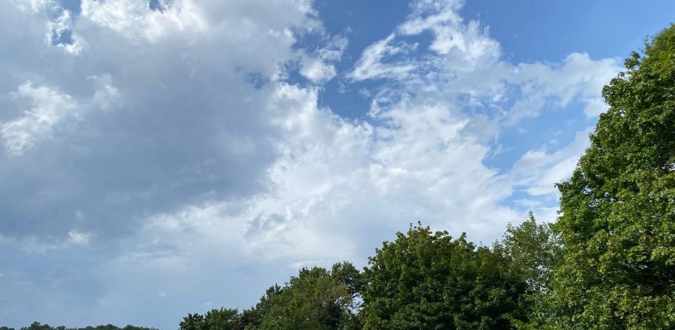
Drizzle and light rain ending this morning with clouds clearing by this evening! Mild and dry Wednesday and Thursday! More rain likely Friday afternoon into Saturday morning!


Good morning!

Skies are cloudy early on this Tuesday morning and light rain or drizzle is falling over most of the area. Temperatures range from near 50 in Clifton down to the low 40s further inland. Winds are from the north around 10 mph.

CLIFTON’S ALMANAC FOR OCTOBER 13TH:

AVERAGE HIGH: 65 AVERAGE LOW: 47

RECORD HIGH: 82 – 1995 RECORD LOW: 30 – 1988

YESTERDAY’S HIGH: 58 LOW: 47 PRECIPITATION: 1.06″

A front approaching from the west will push the remains of Hurricane Delta out to sea today. Drizzle or light rain will continue for most of this morning before ending by this afternoon. Some slow clearing is expected by this evening. Temperatures will be a little milder than yesterday with highs in the mid 60s.

High pressure building into the area will give our area rather nice fall weather Wednesday and Thursday with above normal temperatures.

Another front with low pressure forming on the front will likely give us rain mainly from Friday night into Saturday morning follow by breezy and cooler weather the rest of Saturday.

Dry and somewhat milder Sunday into early next week.

THE FORECAST:

TODAY – OCT 13 – Cloudy with light rain and drizzle likely this morning, high in the mid 60s.

TONIGHT – Clearing, low in the upper 40s.

WEDNESDAY – OCT 14 – Sunny, high in the low 70s.

THURSDAY – OCT 15 – Sunny, high in the mid 70s.

FRIDAY – OCT 16 – Cloudy with showers likely, high in the mid 60s.

SATURDAY – OCT 17 – Partly sunny with a chance of showers mainly in the morning, breezy, high in the low 60s.

SUNDAY – OCT 18 – Sunny, high in the mid 60s.

MONDAY – OCT 19 – Mostly sunny, high in the upper 60s.

MARINE FORECAST: A small craft advisory is in effect until 6 a.m Wednesday morning for northerly winds gusting to 30 knots, seas 6-9 feet.

OUTLOOK – No advisories expected Wednesday and Thursday; advisories probable Friday and Saturday.

Have a nice day and stay safe and healthy!

Rainy, breezy and cool today! Rain ends Tuesday morning followed by clearing and milder in the afternoon! Nice fall weather Wednesday and Thursday! More showers likely on Friday!


Good morning!

Skies are cloudy and light rain is falling, temperatures are cool with readings ranging from the upper 40s in Clifton down to the lower 40s further inland. Winds are from the east around 10 mph.

CLIFTON’S ALMANAC FOR OCTOBER 12TH:

AVERAGE HIGH: 66 AVERAGE LOW: 47

RECORD HIGH: 78 – 1995 RECORD LOW: 34 – 1996

YESTERDAY’S HIGH: 64 LOW: 58 PRECIPITATION: TRACE

High pressure to our north along with moisture from ex-hurricane Delta will cause a brisk easterly flow of cool and moist air. Rain will fall throughout the day and night. Expected rainfall amounts are somewhat lower than what was expected yesterday with 1 – 1.50″ likely.

Showers should end Tuesday morning followed by clearing in the afternoon with milder temperatures.

Wednesday and Thursday will be rather nice fall days with plenty of sunshine both days and mild temperatures.

Another front and possibly a low pressure forming on the front will likely cause showers on Friday followed by a dry and cool weekend.

THE FORECAST:

TODAY – OCT 12 – Rain, breezy and cool, high in the mid 50s.

TONIGHT – Rain, temperatures nearly steady in the low-mid 50s.

TUESDAY – OCT 13 – Cloudy with showers likely mainly in the morning becoming partly sunny i the afternoon, high in the upper 60s.

WEDNESDAY – OCT 14 – Sunny, high in the low 70s.

THURSDAY – OCT 15 – Sunny, high in the mid 70s.

FRIDAY – OCT 16 – Mostly cloudy with showers likely mainly in the afternoon and night high in the upper 60s.

SATURDAY – OCT 17 – Chance of showers in the morning then becoming partly sunny, high in the low 60s.

SUNDAY – OCT 18 – Mostly sunny, high in the low 60s.

MARINE FORECAST: A gale warning is in effect until 9 p.m. this evening for northeast winds to 35 knots, seas 6-10 feet.

OUTLOOK: No advisories expected Tuesday through Friday; advisories possible Saturday morning.

Have a nice day and stay safe and healthy!

Cloudy with near seasonable temperatures today! Rain heavy at times tonight through early Tuesday morning! Dry and mild Wednesday and Thursday!


Good morning!

Skies are mainly cloudy early on this Sunday morning, temperatures range from near 60 in Clifton to the low 50s further inland. Winds are light and the humidity is high.

LIFTON’S ALMANAC FOR OCTOBER 11TH:

AVERAGE HIGH: 66 AVERAGE LOW: 48

RECORD HIGH: 77 – 2018 RECORD LOW: 32 – 1986

YESTERDAY’S HIGH: 70 LOW: 51 PRECIPITATION: NONE

Yesterday’s high temperature was much lower than expected as clouds came in quicker from the remains of Hurricane Delta so instead of a high near 80 it only barely made it up to 70.

Today will be another cloudy day as the cloud shield of Delta will be with us again, high temperatures will be near normal in the upper 60s. Also a weak cold front will be moving to our south during the morning.

Rain from the tropical system will move into our area tonight and become heavy at times through early Tuesday morning. Rainfall amount will be in the 1.5 to 3″ range. With the clouds and rain, along with an onshore flow, high temperatures will only be mainly in the 50s.

Clearing by Tuesday afternoon with milder temperatures.

Wednesday and Thursday will be rather nice with plenty of sunshine both days and mild temperatures.

A strong cold front may touch off some showers on Friday followed by much cooler weather for next weekend.

THE FORECAST:

TODAY – OCT 11 – Cloudy, high in the upper 60s.

TONIGHT – Rain developing mainly after 8 p.m., low in the low 50s.

MONDAY -OCT 12 – Rain heavy at times and breezy, highs only in the upper 50s. Rainfall amounts of 1.5 to 3″ likely.

TUESDAY – OCT 13 – Showers likely mainly before 8 a.m. then becoming partly sunny and milder, high near 70.

WEDNESDAY – OCT 14 – Sunny, high in the low 70s.

THURSDAY – OCT 15 – Sunny, high in the low 70s.

FRIDAY – OCT 16 – Partly sunny with a chance of showers, high in the upper 60s.

SATURDAY – OCT 17 – Mostly sunny and cool, high near 60.

MARINE FORECAST: TODAY – Northeast winds gusting to 15 knots, seas 1 foot.

OUTLOOK – A gale warning has been posted effective between 6 p.m. this evening until 9 p.m. Monday night; small craft advisories expected to continue on Tuesday; no advisories expected Wednesday through Friday.

Have a nice day and stay safe and healthy!

Mostly sunny, breezy and warm today! Increasing cloudiness and not as warm on Sunday! Heavy rain Sunday night through Tuesday morning from the remnants of Hurricane Delta!


Good morning!

Skies are partly cloudy early on this Saturday morning and temperatures range from the low 50s in Clifton down to the low 40s further inland, winds are from the southwest 5-10 mph.

CLIFTON’S ALMANAC FOR OCTOBER 10TH:

AVERAGE HIGH: 66 AVERAGE LOW: 48

RECORD HIGH: 82 – 2018 RECORD LOW: 30 – 1989

YESTERDAY’S HIGH: 73 LOW: 46 PRECIPITATION: NONE

Note: On this day in 1979 we received our earliest trace of snow!

High pressure off the coast will give our area a brisk southwest flow of warm air today along with mostly sunny skies, high temperatures will approach the 80 degree mark and with somewhat higher humidity the day will have a summer feel to it.

A weak cold front will cross the area Sunday morning, we should see an increase in clouds as the front moves to our south. It will be cooler but temperatures will be slightly above normal.

The remains of Hurricane Delta will cause rain Sunday night through Tuesday morning, rain will be heavy at times with 1-3 inches of rain expected. High temperatures with the clouds and rain with an onshore will be below normal on Monday. Clearing by Tuesday afternoon with high temperatures well up into the 70s.

Wednesday and Thursday will be nice fall days with seasonably mild temperatures and plenty of sunshine both days as high pressure controls our weather.

A rather strong cold front will cross the area on Friday possibly causing some showers followed by much cooler weather for next weekend.

THE FORECAST:

TODAY – OCT 10 – Mostly sunny, breezy and warm, high near 80.

TONIGHT – Partly cloudy, low near 60.

SUNDAY – OCT 11 – Increasing cloudiness, high near 70, showers at night mainly after midnight.

MONDAY – Oct 12 – Cloudy with showers heavy at times, high in the low 60s, rainfall amounts of 1-3 inches expected.

TUESDAY – OCT 13 – Mostly cloudy with showers likely mainly before 8 a.m., milder with highs in the mid 70s.

WEDNESDAY – OCT 14 – Sunny, high in the low 70s.

THURSDAY – OCT 15 – Sunny, high in the low 70s.

FRIDAY – OCT 16 – Partly sunny with a chance of showers, high in the upper 60s.

MARINE FORECAST: A small craft advisory is in effect until 8 p.m. this evening for southwest winds gusting to 30 knots, seas 3-5 feet.

OUTLOOK – No advisories expected during the day on Sunday; advisories expected Sunday night through Monday night with some gale gusts possible; no advisories expected for Tuesday; possible advisories on Wednesday.

Have a nice weekend and stay safe and healthy!

Mostly sunny and a little milder today with less wind! Mainly dry weather for the weekend, quite mild on Saturday and a little cooler on Sunday! Showers likely early next week!


Good morning!

Skies are partly cloudy early on this Friday morning and it is cool with temperatures ranging from the mid 40s in Clifton down to the upper 30s further inland, winds are calm or light southwesterly.

CLIFTON’S ALMANAC FOR OCTOBER 9TH:

AVERAGE HIGH: 67 AVERAGE LOW: 48

RECORD HIGH: 83 – 2011 RECORD LOW: 31 – 2001

YESTERDAY’S HIGH: 63 LOW: 47 PRECIPITATION: NONE

High pressure over our area will give us another sunny day, winds will be lighter than yesterday and high temperatures should be a few degrees higher.

Very mild and sunny on Saturday with some high temperatures reaching near the 80 degree mark.

A weak cold front will cross the area on Sunday and temperatures will be a little cooler but still be above normal. Some showers are possible at night.

Showers are likely Monday into Tuesday as moisture from the remnants of Hurricane Delta along with a front approaching from the west. Computer models are inconsistent at this time on how much rain we will receive with some showing up to 2 inches of rain while others indicate only 1/2 of inch of rain. High temperatures will be cool on Monday and milder on Tuesday.

Mainly dry and mild weather is expected the rest of next week.

THE FORECAST:

TODAY – Oct 9 – Sunny, high near 70.

TONIGHT – Mostly clear, low in the low 50s.

SATURDAY – OCT 10 – Sunny, high near 80.

SUNDAY – OCT 11 – Partly sunny, high in the low 70s, chance of showers at night.

MONDAY – OCT 12 – Mostly cloudy with showers likely, high in the low 60s.

TUESDAY – OCT 13 – Mostly cloudy with a chance of showers, high in the low 70s.

WEDNESDAY – OCT 14 – Mostly sunny, high in the low 70s.

THURSDAY – OCT 15 – Mostly sunny, high in the low 70s.

MARINE FORECAST: TODAY – Variable winds less than 5 knots, seas 1-2 feet.

OUTLOOK – A small craft advisory has been posted effective between midnight tonight through 8 p.m. Saturday evening; no advisories expected Saturday night through Sunday night; possible advisories on Monday.

TROPICS: Hurricane Delta with top winds of 120 mph will hit the Southwestern coast of Louisiana very near to where Hurricane Laura hit a few weeks ago.

Happy Birthday to my wonderful baby daughter Bethany!