Rain today through Wednesday night with milder temperatures! Dry and rather mild Thursday through early next week!


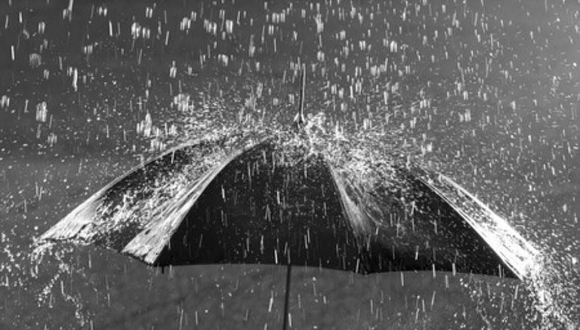
We have light rain falling in the area this Tuesday morning and temperatures range from near 40 in the Clifton area to the mid 30s further inland, all the stations in the area are above freezing so no freezing rain has been reported.  There is a brisk easterly wind.

Today we will have periods of rain as a warm front approaches the area, temperatures will rise to close to 50 by late in the day.

The warm front will move north of our area Wednesday morning with rain becoming more showery in nature and temperatures will be milder with highs well up into the 50s.  A cold front will pass through the area late Wednesday night bringing an end to the rain.  Total rainfall today and Wednesday will average around one inch.

Thursday will be a breezy day but temperatures will remain slightly above normal under partly sunny skies.

A stretch of nice weather is likely Friday through the weekend into early next week with dry conditions and mild temperatures for early December.


THE FORECAST:

TODAY – Periods of rain, high near 50.

TONIGHT – Periods of rain or drizzle, low in the low 40s.

WEDNESDAY – Showers and mild, high in the upper 50s.

THURSDAY – Partly sunny and breezy, high near 50.

FRIDAY – Sunny, high near 50.

SATURDAY – Sunny, high in the low 50s.

SUNDAY – Sunny, high in the low 50s.

MONDAY – Mostly sunny, high in the low 50s.


MARINE FORECAST: Small craft advisory is in effect till 5 a.m. on Wednesday for easterly winds gusting to 30 knots, seas 5-8 feet.

OUTLOOK – No advisories during the day on Wednesday with advisories likely Wednesday night through Thursday night, no advisories expected Friday and Saturday.


Have a good day!

A chilly and dry Monday! Milder with rain Tuesday through Wednesday night!


Skies are clear early this Monday morning and temperatures are quite cool with readings near 30 here ranging to near 20 in the outlying cold spots, winds are light northeasterly.

Today will be a mostly sunny and chilly day with highs mostly in the mid 40s, which is a few degrees below normal.

Increasing cloudiness tonight with rain developing after midnight, some of this may fall briefly as light freezing rain or drizzle across the colder spots of northwest New Jersey, the Poconos and the Hudson Valley.  Rain will continue through most of the day and night as a warm front approaches the area.

The warm front will move through our area on Wednesday, rain should be more showery in nature along with milder temperatures.  A cold front will cross the area Wednesday night ending the precipitation, look for an average of one inch of rainfall.

Dry with seasonably mild temperatures Thursday through the weekend.


THE FORECAST:

TODAY – Mostly sunny, high in the mid 40s.

TONIGHT – Becoming cloudy with rain developing after midnight, low in the upper 30s.

TUESDAY – Rain, high near 50.

WEDNESDAY – Cloudy with showers likely, mild, high in the upper 50s.

THURSDAY – Mostly sunny, high near 50.

FRIDAY – Sunny, high in the low 50s.

SATURDAY – Sunny, high in the low 50s.

SUNDAY – Mostly sunny, high in the mid 50s.


MARINE FORECAST:  Small craft advisory in effect till 6 p.m on Tuesday for east winds gusting to 30 knots, seas 4-7 feet.

OUTLOOK – Advisories possible Tuesday night through the day on Thursday with no advisories expected Thursday night into Friday.


Have a nice day!


Becoming sunny today with seasonable temperatures! Dry and cool on Monday! Milder with rain Tuesday and Wednesday!


Skies are cloudy early on this Sunday morning and temperatures range from the upper 30s here in Clifton to around 30 in the colder inland areas, winds are from the north around 10 mph.

High pressure will be building down into our area from the north, skies will be cloudy this morning but become mostly sunny by this afternoon, temperatures will be near seasonable levels with highs around 50.

Monday will be dry and cool with highs about five degrees lower than today.

A storm system will be moving into the area on Tuesday which will give us rain mainly falling from Tuesday afternoon until Wednesday afternoon, temperatures will become milder with highs both days in the 50s.  Expect around an inch of rain.

Dry weather Thursday into next weekend with temperatures a little above normal.


THE FORECAST:

TODAY – Mostly cloudy this morning then becoming mostly sunny, high around 50.

TONIGHT – Mostly clear and cool, low in the mid 20s.

MONDAY – Mostly sunny and cool, high in the mid 40s.

TUESDAY – Cloudy with a good chance of rain developing by the afternoon, high in the low 50s.  Rain likely at night.

WEDNESDAY – Cloudy with showers likely, mild with highs in the upper 50s.

THURSDAY – Sunny, high in the low 50s.

FRIDAY – Mostly sunny, high in the low 50s.

SATURDAY – Sunny, high in the low 50s.


MARINE FORECAST:  TODAY – North wind to 11 knots, seas 2 feet.

OUTLOOK – Small craft advisory will be effect from 10 p.m. tonight till 6 p.m on Monday evening.  Advisories likely on Tuesday with possible advisory conditions Wednesday and Thursday.


Have a good day!


Still rather mild today with some light showers possible this afternoon and evening! Clearing and cooler on Sunday!


Skies are generally overcast over the area early on this Saturday morning and it is quite mild again with temperatures ranging from the low 50s in Clifton to the mid 40s in some of the inland spots, winds are nearly calm.   These temperatures are nearly 20 degrees warmer than normal for this time of day in late November.

Today will be a cloudy and rather mild as a cold front slowly crosses the area, some light showers may occur after the frontal passage mainly falling this afternoon and evening, temperatures around 60 today will slowly fall into the 40s by this evening.

Sunday will start off cloudy but sunshine will return by the afternoon, although temperatures will be cooler the readings will still be above normal.

Monday will be dry with seasonably cool temperatures.

A more significant low pressure will affect our weather Tuesday into early Wednesday that will likely give us some rain with amounts of around 1/2 inch possible.  It will be mild once again with highs in the 50s.

Dry with seasonably mild temperatures Thursday and Friday.

Looking further ahead it appears now that milder than normal temperatures will continue to at least the middle of December.


THE FORECAST:

TODAY – Cloudy with a chance of showers mainly this afternoon, high near 60.

TONIGHT – Cloudy with a chance of showers, low in the low 40s.

SUNDAY – Mostly cloudy in the morning then sunny, high in the low 50s.

MONDAY – Sunny, high in the upper 40s.

TUESDAY – Cloudy with a chance of rain, high in the low 50s, rain likely at night.

WEDNESDAY – Mostly cloudy with a chance of morning showers, high in the mid 50s.

THURSDAY – Mostly sunny, high in the low 50s.

FRIDAY – Mostly sunny, high in the low 50s.


MARINE FORECAST:  Small craft advisory in effect for hazardous seas till 6 p.m.  Today, west wind to 10 knots, seas 5-6 feet.

OUTLOOK – No advisories expected during the day on Sunday, with advisories possible for high seas Sunday night through Tuesday night and for winds on Wednesday.


Have a good day!


Partly sunny and quite mild today after morning fog! Cooler over the weekend with showers likely Saturday afternoon and evening!


Skies are partly cloudy early on this Friday morning and there are pockets of dense fog especially in the valleys, temperatures range from the low 40s here in Clifton to the low 30s in the colder inland valleys, winds are nearly calm.

Fog will burn off this morning and it will become a partly to mostly sunny day, temperatures will rise into the low and mid 60s, winds will continue to be light.

A cold front will cross the area Saturday morning, showers will likely develop in the afternoon and continue into the evening, rainfall will be light, it will be cooler but readings still slightly above normal.

Clearing on Sunday with near normal temperatures.

High pressure will move into the area on Monday giving us a mostly sunny day but with cool temperatures.

A low pressure area will likely give us some more showers mainly from Tuesday afternoon into Wednesday morning with somewhat milder temperatures.

Sunshine returns on Thursday with seasonably cool temperatures.


THE FORECAST:

TODAY – Some dense fog early this morning then becoming partly to mostly sunny and mild, high in the low 60s.

TONIGHT – Partly cloudy becoming mostly cloudy, low in the mid 40s.

SATURDAY – Cloudy with showers likely mostly in the afternoon and at night, high in the mid 50s.

SUNDAY – Mostly cloudy in the morning then becoming partly sunny in the afternoon, high near 50.

MONDAY – Mostly sunny, high in the mid 40s.

TUESDAY – Mostly cloudy with a chance of showers by the afternoon, high in the low 50s, showers likely at night.

WEDNESDAY – Mostly cloudy with a chance of morning showers, high in the mid  50s.

THURSDAY – Mostly sunny, high in the upper 40s.


MARINE FORECAST:  Small craft advisory in effect till 6 p.m. on Saturday for hazardous seas. Today – Southwest wind to 10 knots, seas 4-6 feet.

OUTLOOK – No advisories expected Sunday through Tuesday.


Have a good day!