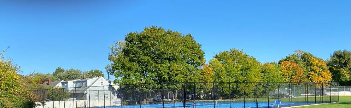
Pleasant September weather finally!


Tropical air has moved offshore, this morning under clear skies temperatures are in the low 60s with dew points in the 50s.
Abundant sunshine today with temperatures reaching the low 80s
Another cold front will cross the area on Thursday followed by the coolest air since last spring with early morning temperatures falling to the 40s with even some 30s further inland.
Moderating temperatures for the weekend with dry weather.
Seasonable temperatures early next week.

The forecast: Today – Sunny, high in the low 80s.
Tonight – Mostly clear, low in the low 60s
Thursday – Mostly sunny, high in the upper 70s.
Friday – Sunny, high in the low 70s
Saturday – Sunny, high in the upper 70s.
Sunday – Partly sunny, high in the low 80s.
Monday – Mostly sunny, high in the upper 70s.
Tuesday – Partly sunny, high in the upper 70s.

Marine forecast: Today – Northwest wind becoming West around 10 knots, seas 1-2 feet.
Outlook: Sub-advisory conditions through the weekend.

Have a good day!

Humid Labor Day with thunderstorms!!


Another very warm and humid morning. Some thunderstorms are just to our west and should affect the Clifton area shortly.
Warm and humid throughout Labor Day with showers and thunderstorms that will persist into tonight. With mainly cloudy skies temperatures will not be quite as warm as the last couple of days.
A cold front will come through the area on Tuesday morning with a chance of showers, less humid air behind the front.
Pleasant weather from Wednesday that should last through next weekend.

The forecast: Today – Cloudy and humid with showers and thunderstorms, heavy rain possible, high in the low 80s.
Tonight – Mostly cloudy with a chance of showers and thunderstorms, low around 70.
Tuesday – Partly sunny with a chance of mostly morning showers and thunderstorms, becoming less humid, high in the low 80s.
Wednesday – Sunny, high in the low 80s.
Thursday – Mostly sunny, high in the low to mid 80s.
Friday – Sunny, high in the mid to upper 70s.
Saturday – Sunny, high in the low 80s
Sunday – Mostly sunny, high in the low 80s.

Marine forecast – Today – South wind becoming west around 6 knots, seas 2 feet.
Outlook – Sub-advisory level conditions through the weekend.

Have a good Labor Day!

Muggy weekend weather continues!


Tropical air will remain over our area through the weekend with shower chances increase today and become more likely on Labor Day.
Relief from the humidity on Tuesday as a cold front pushes through the area.
Pleasant weather will be with us Wednesday through the beginning of next weekend.

The forecast: Today – Mostly cloudy and humid with a chance of showers and thunderstorms, high in the upper 80s.
Tonight – Mostly cloudy with showers and thunderstorms likely, heavy rain possible, low in the low 70s
Labor Day – Mostly cloudy with showers and thunderstorms likely, heavy rain possible, high in the upper 80s.
Tuesday – Showers possible in the morning then partial clearing, less humid, high in the low 80s.
Wednesday – Sunny, high near 80.
Thursday – Mostly sunny, high in the low 80s.
Friday – Sunny, high in the upper 70s.
Saturday – Mostly sunny, high in the low 80s.

Marine forecast: Today – South wind to 9 knots, seas 2-3 feet.
Have a good day!!!!

Warm and humid with thunderstorm chances for the holiday wee


Another muggy morning with mostly cloudy skies, overnight lows fell to the upper 60s.
Today and on Sunday expect warm and humid conditions to continue with mostly afternoom and evening showers possible.
Better chance of showers and thunderstorms on Labor Day as a cold front approaches, it will remain quite humid.
Less humid with fair weather Tuesday through the end of the week with reasonable temperatures.

The forecast: Today – Mostly cloudy with a chance of showers and thunderstorms, high in the mid to upper 80s.
Tonight – Mostly cloudy with a chance of showers and thunderstorms, muggy low around 70.
Sunday – Mostly cloudy with a chance of showers and thunderstorms, high in the mid to upper 80s.
Labor Day – Cloudy with showers and thunderstorms likely, some heavy rain possible, high in the mid to upper 80s.
Tuesday – Partly sunny, less humid, high in the mid 80s
Wednesday – Sunny, high near 80.
Thursday – Mostly sunny, high near 80.
Friday – Sunny, high in the upper 70s.

Marine forecast – Today – South to southwest wind to 12 knots, seas 3 feet.
Outlook – Sub-advisory conditions through Friday.

Have a good day.

Warm and humid Labor Day weekend with possible showers!


Another muggy night with overnight temperatures only falling to the upper 60s.
Today we will have mostly cloudy skies this morning but the clouds will break and it will be warm and rather humid.
Labor Day weekend will be quite warm and humid. Shower chances increase a little each day. Temperatures will depend how much sunshine we will receive with Saturday and possibly Monday getting close to 90 degrees.
A cold front will come through early Tuesday with some showers followed by less humid air.
Quite pleasant weather for next Wednesday and Thursday with low humidity and seasonably warm temperatures.

The forecast: Today – Cloudy this morning then becoming mostly sunny, high in the low-mid 80s.
Tonight – Mostly cloudy, low around 70.
Saturday – Partly sunny chance of an afternoon shower or thunderstorm, high in the upper 80s.
Sunday – Mostly cloudy with a chance of showers and thunderstorms, high in the mid 80s.
Labor Day – Mostly cloudy with a good chance of showers and thunderstorms, some with heavy rainfall, high in the mid 80s.
Tuesday – Chance of a morning shower then becoming partly sunny, high in the low 80s.
Wednesday – Mostly sunny, high near 80. Less humid.
Thursday – Mostly sunny, high in the low 80s.

Marine Forecast: Today – South winds to 8 knots, seas 3 feet.
Outlook – Sub-advisory level conditions expected through next week!

Have a nice weekend!