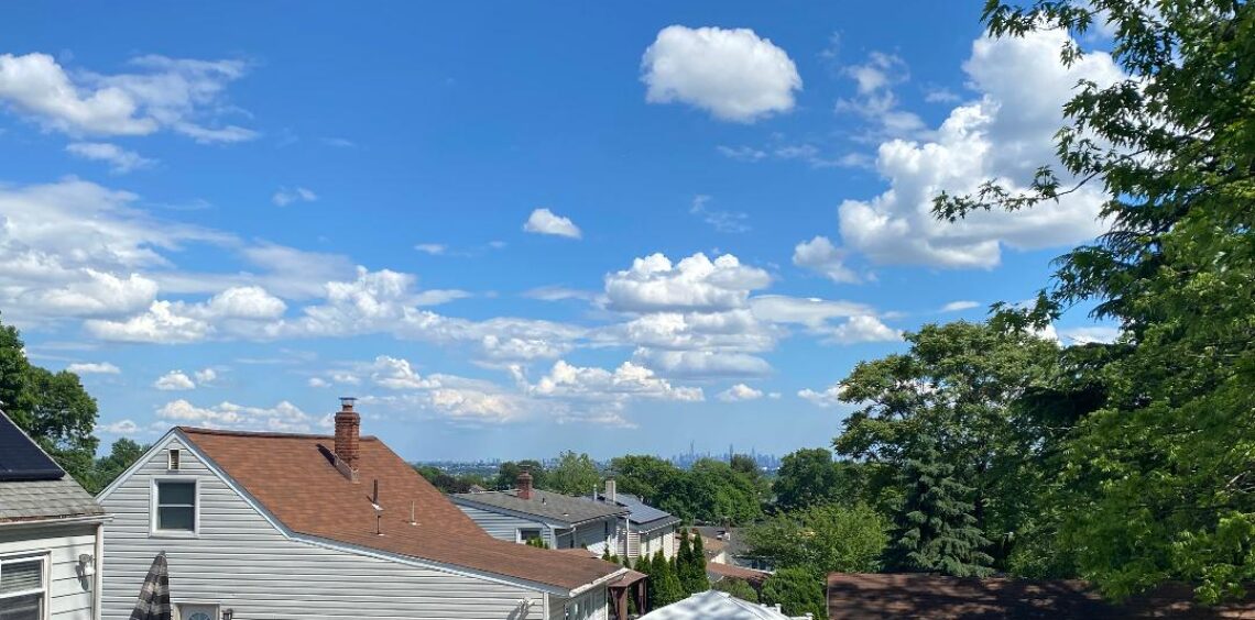
Well yesterday’s forecast was for temperatures in the upper 80s with plenty of sunshine but mid-level clouds most of the day prevented temperatures to rise only to around 80 degrees.
Today we “should” have more sun and again I will predict quite warm temperatures.
Saturday’s weather could be interesting as there is a possibility of strong to severe thunderstorms from late Saturday into very early Sunday morning as a strong cold front crosses the area. Behind the front it will be much cooler and drier from Sunday through the early part of next week. A little warmer towards the end of next week..
Meanwhile Hurricane Leslie will kick up the ocean waters with dangerous rip currents and hazardous waves.
The forecast: Today, partly sunny warm and humid, highs in the upper 80s.
Tonight: partly cloudy, warm and muggy, lows in the low 70s.
Saturday, mostly cloudy, quite humid with a chance of showers and thunderstorms mostly after 2pm, highs in the upper 80s. Storms most likely in the evening with the potential of damaging winds and very heavy rain…
Sunday, mostly sunny, much cooler and less humid, high upper 70s.
Monday through Thursday, mostly sunny days, high temperatures in the mid-upper 70s on Monday and Tuesday, rising to the low 80s by Thursday.
Marine Forecast: Today, small craft advisory for hazardous seas, south winds gusting to 20 knots by this afternoon, seas rising to 5-6 feet by tonight..
Outlook. Small craft advisories will likely be needed for Saturday and Sunday with gusty winds and hazardous seas. Monday and Tuesday will still have hazardous seas as Hurricane Leslie passes well to our east. Sub-advisory level winds and seas Wednesday and Thursday..
Enjoy this last day of the work week!