High pressure over our area is providing us with clear skies and chilly temperatures this morning as once again we have dipped to the mid 40s in the Clifton area with many 30s in the outlying suburbs with some light frost reported..
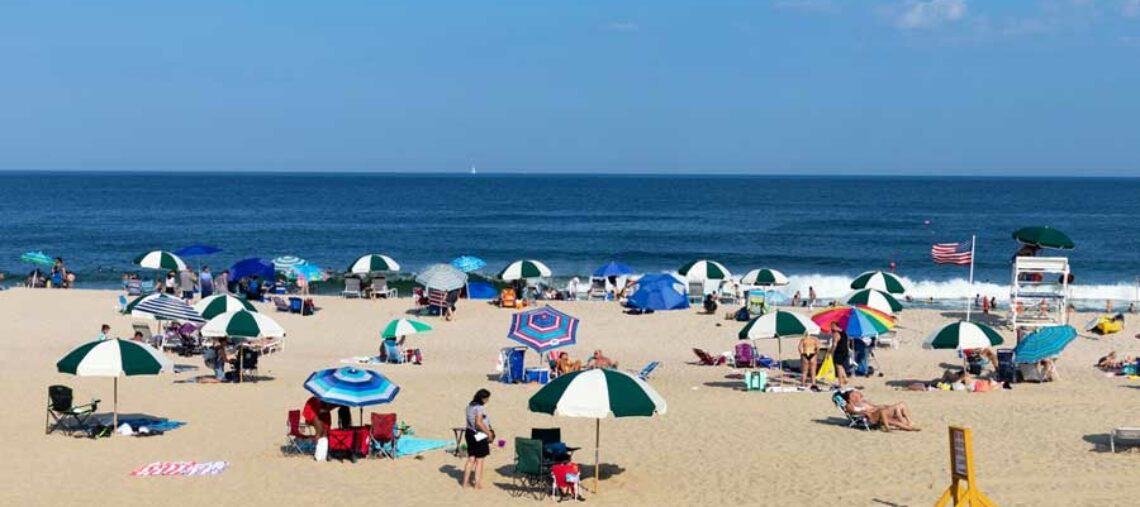
Today will feature plenty of sunshine with lighter winds and temperatures around five degrees higher than on Tuesday.
High pressure will remain in control of our weather Thursday and Friday with continued dry conditions and warmer temperatures possibly reaching the 80 degree mark on Friday.
At this point the weekend looks unsettled as a cold front approaches our area which will cause the chance of showers, temperatures will be a little above normal with higher humidity.
High pressure will build into New England early next week that will bring slightly cooler air into our area but not as chilly as this present air mass.
The forecast: Today – Sunny, high in the low 70s.
Tonight – Clear, low in the low 50s.
Thursday – Sunny, high in the upper 70s.
Friday – Sunny, high near 80.
Saturday – Partly sunny, chance of showers, high in the upper 70s.
Sunday – Mostly cloudy with a chance of showers, high in the mid 70s.
Monday – Mostly sunny, high in the low 70s.
Tuesday – Mostly sunny, high in the low 70s.
Marine forecast: Today – North wind to 7 knots, seas 3 feet.
Outlook – Sub-advisory level conditions should prevail through the weekend.
Have a good day!