More clouds than sun but mild for hump day!


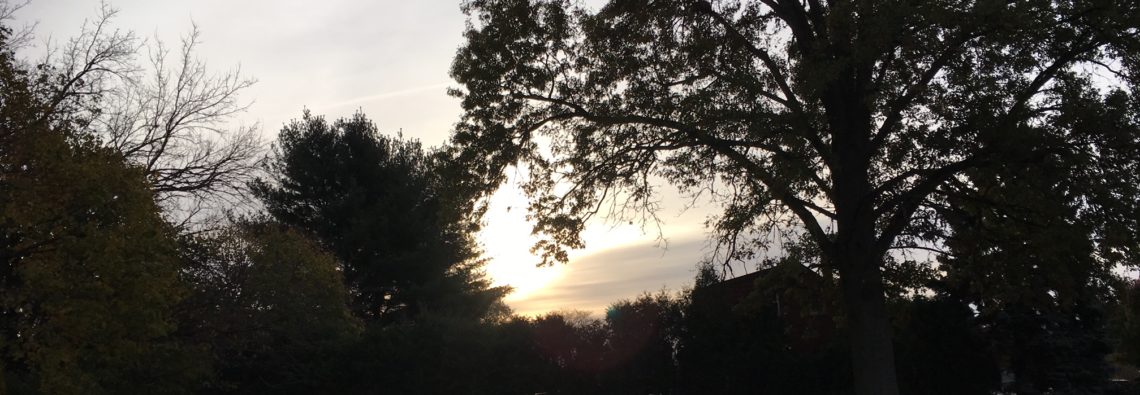
Cloudy skies in the Clifton area at daybreak with temperatures in the low 50s with 40s inland.
Look for more clouds than sun today but we will have some sunny periods, temperatures will remain mild with highs near 70 degrees.
Thursday will be even a little milder with partly sunny conditions during the day with highs reaching the mid 70s.
A wave of low pressure will move through late Thursday night into early Friday giving our area a likelihood of some light rain showers.
Clearing and continued mild the rest of Friday.
Somewhat cooler on the weekend, there will be a couple of weak fronts moving in but we should stay dry.
High pressure will give us pleasant weather early next week with near seasonable temperatures.
Much colder weather towards the end of next week.

The forecast: Today – Mostly cloudy, high near 70.
Tonight – Mostly cloudy, low in the mid 50s.
Thursday – Partly sunny, high in the mid 70s, showers likely at night after midnight.
Friday – Chance of morning showers then becoming mostly sunny, high near 70.
Saturday – Partly sunny, high in the upper 60s.
Sunday – Mostly sunny, high in the mid 60s.
Monday – Mostly sunny, high in the low 60s.
Tuesday – Partly sunny, high in the mid 60s.

Marine forecast: Today – East-northeast wind to 8 knots becoming variable around 5 knots this afternoon, seas 3 feet.
Outlook – Mainly below advisory level conditions through early next week with the only chance of an advisory late Thursday night into Friday morning as a wave of low pressure moves through our coastal waters.

Do you know what day today is? “Hump Day”

Sunny and mild Tuesday!


With mostly clear skies temperatures early this morning are similar to yesterday’s as readings are in the upper 40s in the Clifton area and the low 40s in the normally cooler areas.
Today will be a very pleasant day with light winds and milder temperatures reaching the low 70s.
Tomorrow will be mostly cloudy and we may have some drizzle in the morning and a chance of showers in the evening, it will remain mild and a little more humid.
A weak cold front will pass through on Thursday morning with some showers followed by some clearing, it will remain mild.
Temperatures drop down to near normal Friday through the weekend and most areas will be dry.
Looking ahead to the longer range it appears that a colder pattern will set up next week and probably last the rest of October.

The forecast: Today – Sunny, high in the low 70s.
Tonight – Increasing cloudiness, chance of drizzle toward morning, low in the low 50s.
Wednesday – Mostly cloudy with a chance of morning drizzle, more humid with highs in the low 70s. Chance of showers at night.
Thursday – Mostly cloudy with a chance of morning showers, high in the low 70s.
Friday – Mostly sunny, high in the upper 60s.
Saturday – Partly sunny, high in the mid-upper 60s.
Sunday – Mostly sunny, high in the mid 60s.
Monday – Mostly sunny, high in the low 60s.

Marine forecast: Today – Northeast wind becoming east around 11 knots, seas 3 feet.
Outlook – Below advisory level conditions are expected Wednesday through the weekend.

Have a good day!

Mild and dry for the start of the new week!


With partly cloudy skies temperatures in the Clifton area at daybreak are in the upper 40s just about normal for this time of year.
Today will have less wind than the last couple of days, along with partly sunny skies, temperatures will be a little above normal with highs in the upper 60s.
Dry weather will continue into Tuesday, temperatures will be a little higher reaching the low 70s.
Wednesday will be cloudy and mild and a little more humid with a chance of showers by evening.
These showers will extend into Thursday morning as a cold front moves through.
Friday through next weekend should be dry with cooler temperatures..

The forecast: Today – Partly sunny, high in the upper 60s.
Tonight – Mostly cloudy, low in the low 50s.
Tuesday – Partly sunny, high in the low 70s.
Wednesday – Cloudy with a chance of showers at night, high in the low 70s.
Thursday – Morning showers ten clearing, high near 70.
Friday – Mostly sunny, high in the mid 60s.
Saturday – Partly sunny, high in the mid 60s.
Sunday – Mostly sunny, high in the low-mid 60s.

Marine forecast: Small craft advisory in effect till 6pm, northeast wind to 20 knots, seas 4-7 feet.
Outlook – Advisories should continue into Tuesday for high seas then dip below advisory levels on Wednesday and last the rest of the week.

Happy Columbus Day!

Pleasant Sunday with less wind!


This morning we have cloudy skies at 6am with temperatures mostly in the mid 50s. We still have a rather gusty northeast wind.
Today clouds will diminish along with the winds and should be a very pleasant day with highs in the upper 60s.
Plenty of sunshine with above normal temperatures on Monday into most of Wednesday.
A cold front will give us a chance of showers Wednesday night into Thursday followed by clearing and cooler weather Friday into next weekend.

The forecast: Today – Becoming partly sunny, high in the upper 60s,.
Tonight – Mostly clear, low in the upper 40s.
Monday – Sunny, high in the low 70s.
Tuesday – Sunny, high in the low 70s.
Wednesday – Partly sunny, high in the low 70s, chance of showers at night.
Thursday – Mostly cloudy with a chance of showers, high around 70.
Friday – Mostly sunny, high in the mid 60s.
Saturday – Mostly sunny, high in the mid 60s.

Marine forecast: Small craft advisory in effect through noon on Monday for east winds gusting to 30 knots, seas 7-11 feet.
Outlook – Advisories still may be needed for high seas on Tuesday with conditions lowering below advisory levels on Wednesday and extend through Friday.

Have a good day!

Pleasant fall weekend weather!


Early this morning temperatures in the Clifton area are in the upper 50s with lower 50s inland which is more than 10 degrees warmer than normal for this time of year. Skies are mostly cloudy.
Our area only received .03 of an inch of rain the last two days, however the 10-12 inches of rain fell in the Harrisburg, Pennsylvania area, lucky for them it has been dry the last couple of months so the flooding was not as bad as it could have been.
High pressure will build closer to our area from the north today permitting some sunshine, with above normal temperatures; it will continue to be breezy.
More sunshine on Sunday with temperatures around the 70 degree mark.
Dry weather with above normal temperatures should continue most of next week with the next chance of rain Thursday night into Friday as a cold front approaches from the west.

The forecast: Today – Partly sunny and breezy, high in the low 70s.
Tonight – Mostly cloudy, low in the mid 50s.
Sunday – Mostly sunny, high near 70.
Monday – Sunny, high near 70.
Tuesday – Mostly sunny, high in the low 70s.
Wednesday – Mostly cloudy, high in the low 70s.
Thursday – Mostly cloudy, high in the low 70s.
Friday – Mostly cloudy with a chance of showers, high in the upper 60s.

Marine Forecast: Small craft advisory in effect from now through Sunday afternoon. Today – Northeast winds to 30 knots, seas 6-9 feet.
Outlook – Advisories may be needed into Tuesday for continued high seas.

Have a very pleasant day!