MONDAY SEPTEMBER 11, 2017 7:15 A.M.
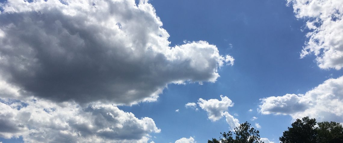
Skies are partly cloudy early on this Monday morning and we are quite chilly with temperatures ranging from the low 50s in the Clifton area down to 40 in the colder inland spots, winds are light.
High pressure will be over the area today giving us plenty of sunshine along with milder temperatures after a chilly start this morning.
Even warmer weather with dry conditions Tuesday through Thursday.
Some of the remnants of Hurricane Irma may affect the area Friday through the weekend with a chance of showers Friday and Saturday, it will be warm and more humid.
THE FORECAST:
TODAY – SEP 11 – Sunny, high in the upper 70s.
TONIGHT – Mostly clear, low in the upper 50s.
TUESDAY – SEP 12 – Mostly sunny, high in the low 80s.
WEDNESDAY – SEP 13 – Mostly cloudy, high near 80.
THURSDAY – SEP 14 – Partly sunny, high in the low 80s.
FRIDAY – SEP 15 – Partly sunny with a chance of showers and thunderstorms, high near 80.
SATURDAY – SEP 16 – Mostly cloudy with a chance of showers and thunderstorms, high in the upper 70s.
SUNDAY – SEP 17 – Partly sunny, high in the upper 70s.
MARINE FORECAST: TODAY – North-northeast wind to 9 knots, seas 3 feet.
OUTLOOK – Mainly below small craft conditions Tuesday through Friday but seas will be near 5 feet at times.
TROPICS: Hurricane Irma has been downgraded to a category 1 storm with top winds of 75 mph and is located inland over northern Florida, the storm is expected to weaken further as it moves well inland over the southeast states.
Hurricane Jose is a category 2 storm with top winds of 105 mph, the storm is expected to do a loop in the southwest Atlantic the next few days, most computer models then have Jose move northward and should stay far enough offshore to give our area any direct effects.
9/11, Let us never forget!
