MONDAY DECEMBER 25, 2017 6:01 A.M.
Good morning and Merry Christmas!
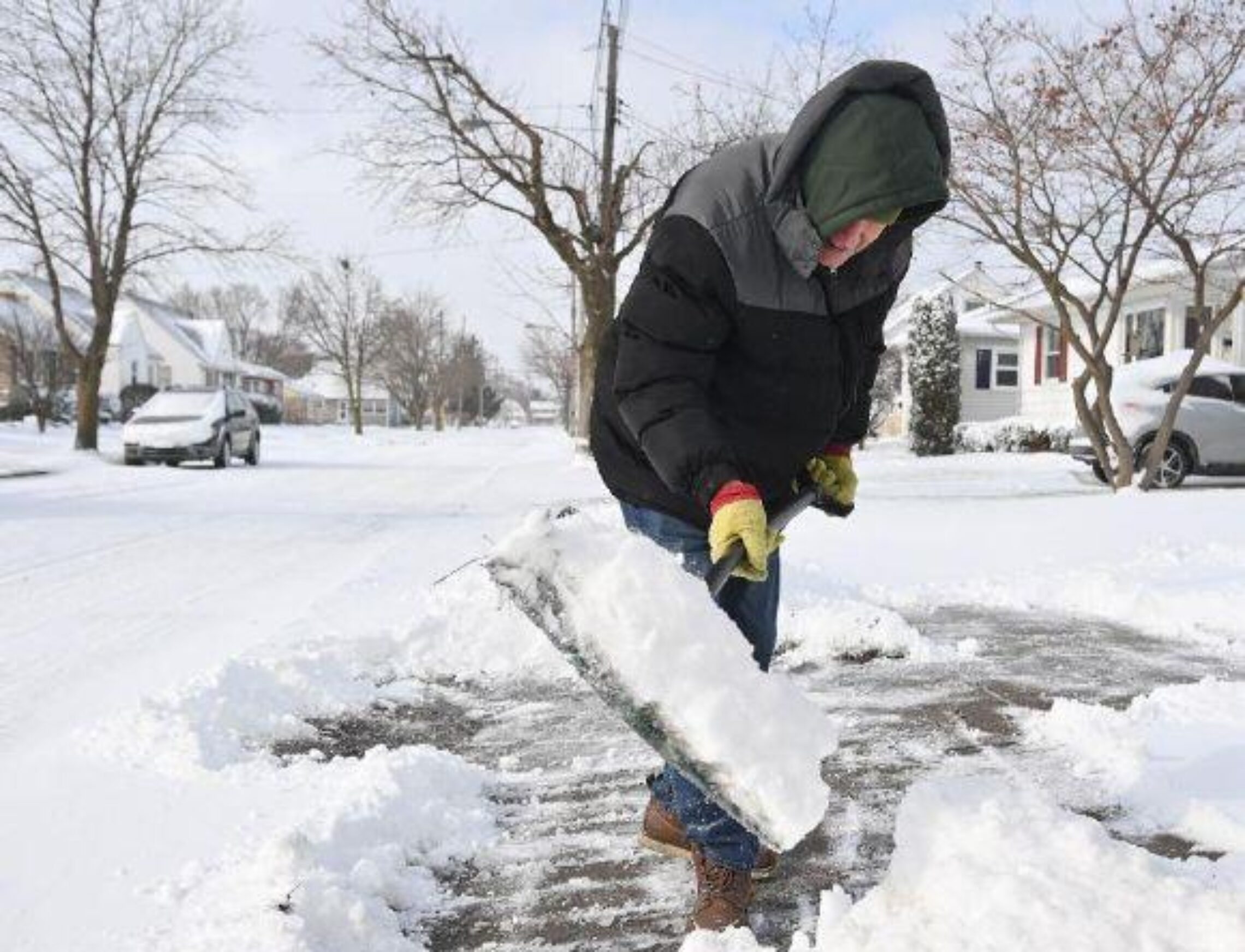
Snow is falling early on this Christmas morning and temperatures range from the low 30s in the Clifton area down to the upper 20s further inland, winds now are light.
Low pressure off the coast will rapidly intensify as the storm moves off the New England coast. Snow associated with this system will end shortly after sunrise and we will have clearing by late this morning. Winds will become strong later this morning and may gust to near 50 mph, winds will slowly diminish by late in the afternoon. Accumulations of snow will be around 1 to 2 inches.
Bitterly cold Tuesday through the weekend! Still watching for the possibility of snow Friday into the weekend.
THE FORECAST:
TODAY – DEC 25 – Snow ending then becoming mostly sunny and very windy, high near 40. Wind gusts to 45 mph possible, a wind advisory is in effect.
TONIGHT – Partly cloudy, low around 20.
TUESDAY – DEC 26 – Partly sunny, high in the low 30s.
WEDNESDAY – DEC 27 – Mostly sunny, high in the mid 20s.
THURSDAY – DEC 28 – Mostly sunny, high in the mid 20s.
FRIDAY – DEC 29 – Mostly cloudy with a chance of snow, high in the mid 20s.
SATURDAY – DEC 30 – Mostly cloudy with a chance of snow, high in the mid 20s.
SUNDAY – DEC 31 – Mostly cloudy with a chance of snow, high in the mid 20s.
MARINE FORECAST: A gale warning is in effect until 4 a.m. Tuesday morning, winds westerly to 45 knots, seas 4-7 feet.
OUTLOOK – Advisories possible during the day on Tuesday; no advisories Tuesday night into the day on Wednesday; possible advisories Wednesday night, no advisories expected Thursday and Friday.
Have a very Merry and safe Christmas!
Favorite Daughter B
Merry Christmas! Did I get a new President? I mean…present? Lol!
And I’m not liking this weeks cold weather… can it wait? 😀
Allan Kazimir Post author
It ain’t waiting, 10 days of frigid weather then maybe a nice thaw. Enjoy your president.
curt
And a Merry Christmas filled with blessings for you, Joan & family !!!
Allan Kazimir
Merry Christmas to you and Sharon also. I hope you have a great day!
Peter
Merry Christmas to you and Joanie. Let us know about accumulation Friday. Hopefully start time after 3PM Friday. Thanks for keeping us posted.
Allan Kazimir Post author
Merry Christmas to you Peter and Jeannie. Like I posted in today’s blog that there is a low confidence in the forecast now. Right now there is only a 30% of some snow on Friday and it is much too early to pinpoint any possible accumulations.