SUNDAY DECEMBER 31, 2017 6:03 A.M.
We have mostly clear skies early on this last morning of 2017 and temperatures once again are very cold with readings ranging from the low teens in the Clifton area down to the single digits further inland, there is a light northwest wind.
Arctic high pressure extending from the northern Great Plains into our area will give us bitterly cold weather today through Tuesday morning, daytime highs today and on New Year’s Day will be in the teens with overnight lows Monday and Tuesday will drop down to the single digits.
A brief moderation of the air mass during the day Tuesday extending into Wednesday but highs should stay below freezing.
A storm is expected to develop somewhere off our coast Wednesday night into Thursday, at this time models are indicating that the storm will stay well offshore , we should have a better handle on what will occur by tomorrow afternoon as the models will have better sampling of the data.
Following the storm even colder weather is anticipated Friday into next weekend.
THE FORECAST:
TODAY – DEC 31 – Mostly sunny, high in the upper teens.
TONIGHT – Mostly clear, low around 5.
NEW YEAR’S DAY – JAN 1 – Sunny, high in the upper teens.
TUESDAY – JAN 2 – Mostly sunny, high in the mid 20s.
WEDNESDAY – JAN 3 – Mostly sunny, high near 30, chance of snow at night.
THURSDAY – JAN 4 – Mostly cloudy with a chance of snow, high in the mid 20s.
FRIDAY – JAN 5 – Mostly sunny and frigid, high only in the mid teens.
SATURDAY – JAN 6 – Mostly sunny and continued frigid, high in the mid teens.
MARINE FORECAST: A small craft advisory is in effect until 6 p.m. Monday evening for northwest winds gusting to 30 knots, seas 3-5 feet. Freezing spray likely.
OUTLOOK – Small craft advisories possible on Tuesday morning; no advisories expected Tuesday afternoon into Wednesday; possible gales on Thursday with the coastal storm.
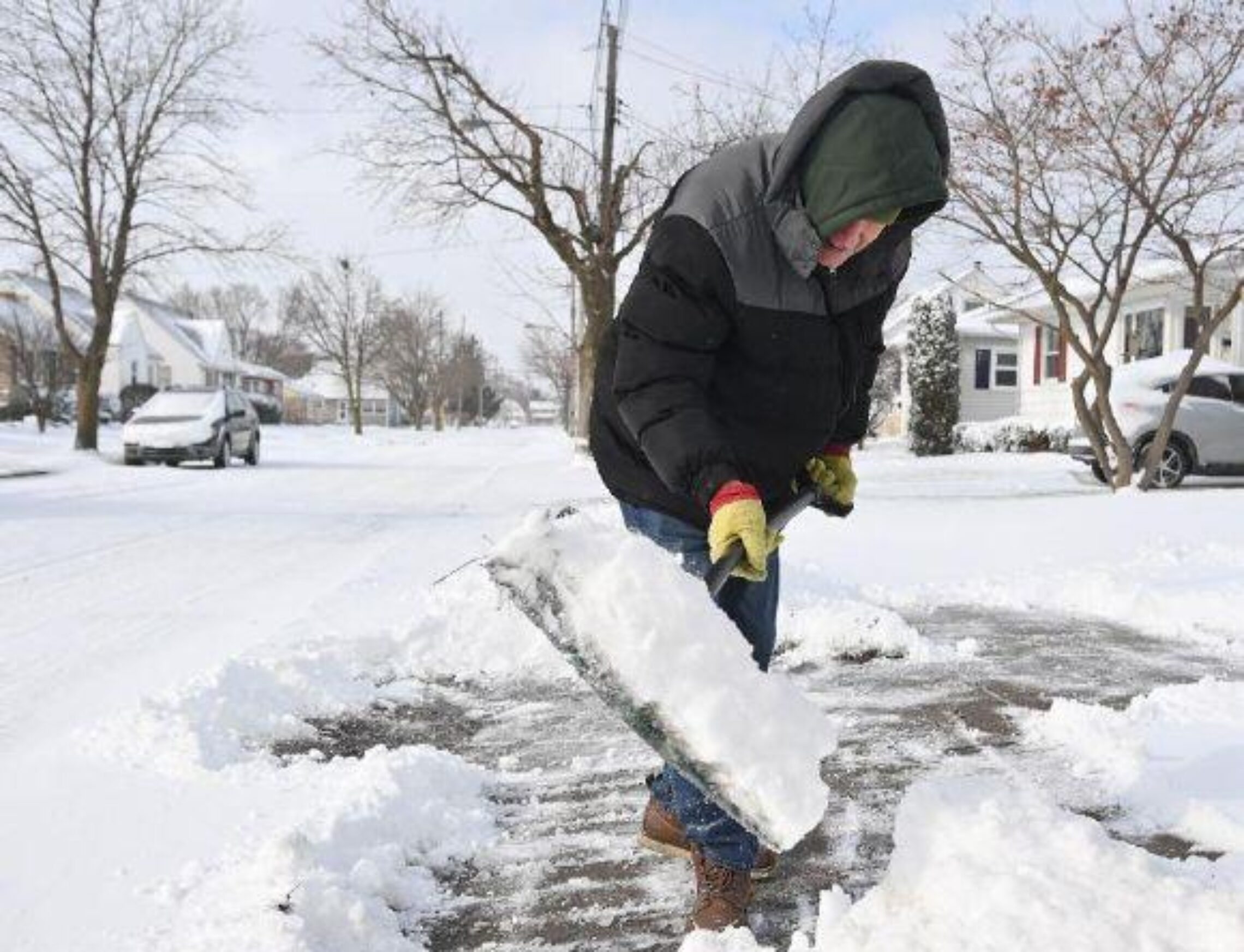
Have a nice day and if you are going out bundle up!
curt
We decided to postpone our usual New Year’s day walk … hopefully there will be a good football game on …. Happy and Blessed 2018 !!!
Allan
Happy New Year to you and Sharon. I am cancelling my run too. Ready for the games today, may win some $$$ for the NFL season so I will be glued to the television all day. Not as crazy for college games, no money involved lol
Peter
Happy New Year to You and your significant other. We have another restaurant in Jersey City we think the four of us should test.
Peter
Allan
Peter Happy New Year to you and yours, yes we would like to try the place out soon! Keep warm!
Peter
Snow plow ready to go????
Allan
I think two inches now more at the shore. Still time to move closer then we will need those plows