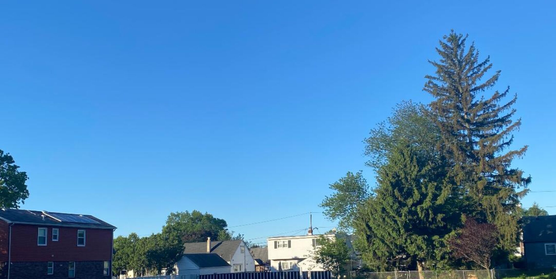
Good morning everyone!
Skies are mostly clear early on this Friday morning and temperatures range from 62 in Clifton down to 51 at Walpack. Winds are mainly calm. The air quality is good with an index of 49.
CLIFTON’S ALMANAC FOR JULY 24TH.
AVERAGE HIGH: 86 AVERAGE LOW: 67
RECORD HIGH: 99 – 2022 RECORD LOW: 55 – 1992
YESTERDAY’S HIGH: 81 LOW: 61 PRECIPITATION: NONE
High pressure over our area will give us another pleasant summer day with plenty of sunshine, light winds and comfortable humidity with dew points in the 50s.
The high pressure will continue to dominate our weather for the weekend with sunshine both days and low humidity again as dew points remain in the comfortable 50s.
A frontal system will affect our area Monday through Wednesday and become somewhat more humid with a southerly flow. There will be a chance of showers Monday afternoon and evening. Showers will then be more likely on Tuesday with possible thunderstorms.
Still a chance of showers on Wednesday as the frontal system moves offshore, then high pressure will build back into our area on Thursday giving us a mostly sunny day with lower humidity.
THE FORECAST:
TODAY – JULY 24 – Sunny, highs in the low 80s.
TONIGHT – Partly cloudy, lows in the low 60s.
SATURDAY – JULY 25 – Sunny, highs in the low 80s.
SUNDAY – JULY 26 – Sunny, highs in the mid 80s.
MONDAY – JULY 27 – Mostly sunny and a little more humid with a chance of a shower and thunderstorm after 2 p.m., highs in the mid 80s.
TUESDAY – JULY 28 – Mostly cloudy with showers likely and possibly a thunderstorm, highs in the low 80s.
WEDNESDAY – JULY 29 – Partly sunny with a chance of a shower, highs in the low 80s.
THURSDAY – JULY 30 – Mostly sunny, highs in the mid 80s.
MARINE FORECAST: TODAY – North winds becoming easterly to 10 knots, seas 2 feet. Belmar’s ocean temperature is 74 degrees.
OUTLOOK: No advisories expected Saturday through Monday; possible advisories for Tuesday.
Enjoy this pleasant summer weather but stay safe!