Good morning everyone!
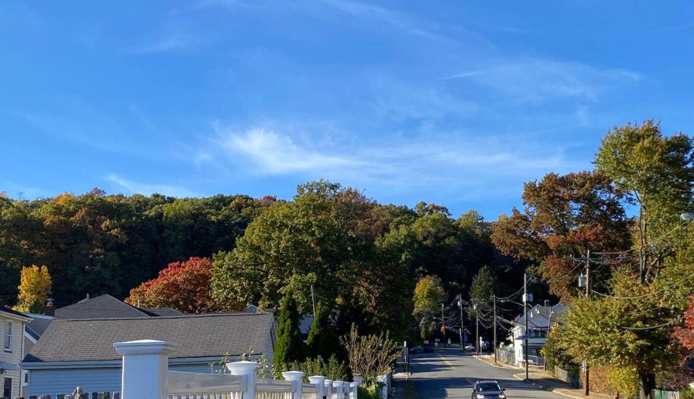
Skies are partly cloudy early on this Tuesday morning and there is some patches of fog inland. Temperatures range from 56 in Clifton down to 48 at Sandyston. Winds are mainly calm. The air quality is good with an index of 28.
CLIFTON’S ALMANAC FOR OCTOBER 13TH:
AVERAGE HIGH: 65 AVERAGE LOW: 47
RECORD HIGH: 82 – 1995 RECORD LOW: 30 – 1988
YESTERDAY’S HIGH: 74 LOW: 52 PRECIPITATION: NONE
High pressure over the southeast states will give us a southwest flow of mild and increasingly humid air today along with mostly sunny skies.
Warmer and continued humid on Wednesday as the high moves offshore. A cold front is expected to come through dry late in the day.
Canadian high pressure will then build into our area for Thursday with cooler and drier air.
A frontal system will likely give us showers on Friday and it will be rather breezy.
The coolest air so far of the autumn is expected for the weekend. Daytime highs will struggle to reach the 50s with overnight lows in the 30s which may cause some frost or freezes Sunday morning. Saturday will be also quite windy.
THE FORECAST:
TODAY – OCT 13 – Mostly sunny and becoming more humid, highs in the mid 70s.
TONIGHT – Mostly clear and muggy, lows in the mid 60s.
WEDNESDAY – OCT 14 – Mostly sunny, warm and humid, highs near 80.
THURSDAY – OCT 15 – Sunny, cooler and less humid, highs in the mid 60s.
FRIDAY – OCT 16 – Mostly cloudy with showers, highs in the low 70s
SATURDAY – OCT 17 – Sunny, breezy and chilly, highs only in the low 50s.
SUNDAY – OCT 18 – Sunny, highs in the upper 50s.
MONDAY – OCT 19 – Mostly sunny, highs in the low 60s.
MARINE FORECAST: TODAY – Southerly winds to 10 knots, seas 2 feet.
OUTLOOK: No advisories expected for Wednesday and Thursday; advisories probable Friday and Saturday with some gale gusts possible.
Have a good day and stay safe!