Good morning everyone!
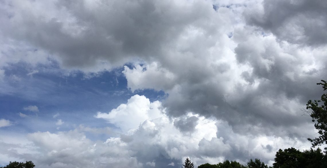
Skies are cloudy early on this Friday morning and temperatures range from 58 in Clifton down to 52 at Hackettstown and Vernon. Winds are calm or light southerly. The air quality is good with an index of 23.
CLIFTON’S ALMANAC FOR OCTOBER 16TH:
AVERAGE HIGH: 64 AVERAGE LOW: 45
RECORD HIGH: 79 – 2021 RECORD LOW: 35 – 2009
YESTERDAY’S HIGH: 67 LOW: 53 PRECIPITATION: NONE
A warm front will cross our area this morning with some light showers likely. After the warm frontal passage we will have a break in the showers along with a brisk southwesterly flow of quite mild and humid air. A strong cold front will come through early this evening possibly accompanied by some strong to severe thunderstorms.
A high pressure will build from the southern Plain states on Saturday giving us brisk north-northwest flow of very chilly air with high temperatures struggling to reach the low 50s. Winds will diminish Saturday night giving parts of the area some frost and freezes as temperatures fall into the 30s over the area.
After a chilly start Sunday will be not as cool or windy by the afternoon as high pressure builds closer to our area.
At this point next week looks to be mainly dry as high pressure dominates the weather however a coastal storm will be nearly stationary off the Carolina coast but it is expected to remain offshore and not give us any precipitation but coastal areas may have some wind and possible some coastal flooding.
THE FORECAST:
TODAY – OCT 16 – Mostly cloudy with showers mainly this morning then some sunshine this afternoon and becoming quite mild and humid. Highs in the upper 70s. Winds gusting to 25 mph.
TONIGHT – Mostly cloudy and breezy with a chance of strong to severe thunderstorms this evening, lows by morning in the mid 40s. Wind gusts to 25 mph.
SATURDAY – OCT 17 – Partly sunny in the morning then becoming mostly sunny in the afternoon, windy and chilly with highs only in the low 50s, wind gusts to 30 mph. Frost and freezes possible at night.
SUNDAY – OCT 18 – Mostly sunny and not as cool or windy by the afternoon, highs in the upper 50s.
MONDAY – OCT 19 – Mostly sunny, highs in the low 60s.
TUESDAY – OCT 20 – Mostly sunny, highs in the upper 60s.
WEDNESDAY – OCT 21 – Sunny, highs in the mid 60s.
THURSDAY – OCT 22 – Sunny, highs in the low 60s.
MARINE FORECAST: A small craft advisory will be in effect from 3 p.m. this afternoon through 6 a.m. Saturday morning for westerly winds gusting to 30 knots, seas 3-6 feet.
OUTLOOK – A gale watch has been posted effective between 6 a.m. Saturday morning through 6 p.m. Saturday evening; advisories possible Sunday through Tuesday.
Have a nice day and stay safe!