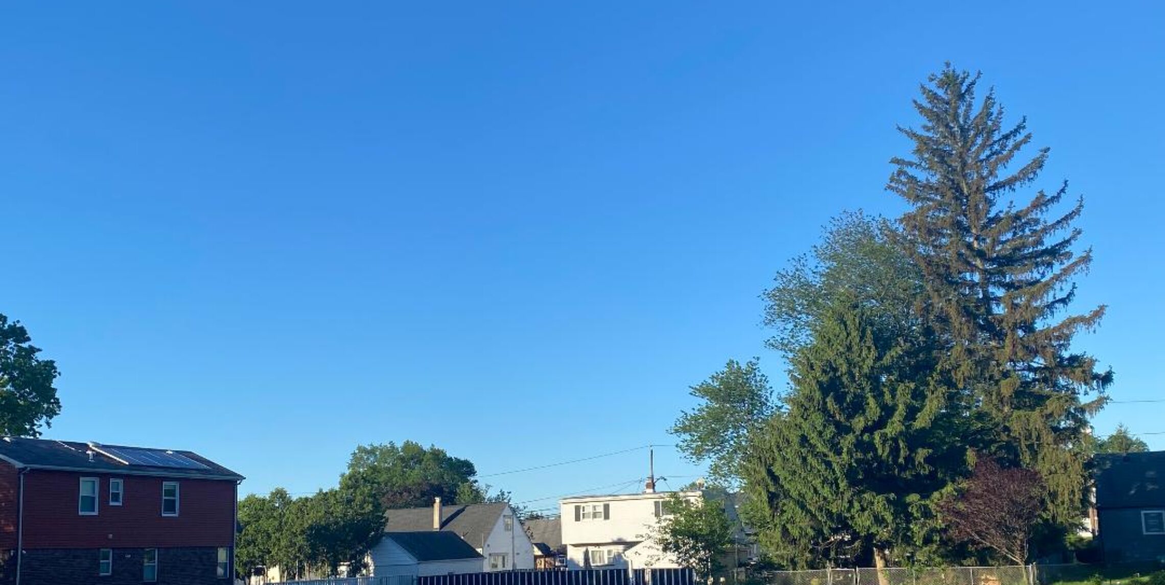
First touch of fall as temperatures fall into the 50s this morning!


Temperatures this morning fell into the 50s for the first time since June as a cool high pressure moved into the area, however the sun will warm temperatures to near 80 degrees by this afternoon. Increasing clouds tonight with rain developing by Monday morning, with clouds and the rain highs will will only reach the 70s. Tuesday and Wednesday there will be some sun but still a chance of a shower with temperatures rebounding into the 80s. The end of the week should be warm and dry.

The forecast: Today, mostly sunny, high near 80.

Tonight, becoming cloudy, low in the low 60s.

Monday, rain likely, highs in the mid 70s.

Tuesday, mostly sunny, a risk of an afternoon shower, highs in the low to mid 80s.

Wednesday, mostly cloudy with a chance of a shower, high in the mid 80s.

Thursday through Saturday, mostly sunny, highs mainly in the mid 80s.

Marine Forecast: Today, winds becoming south-southeast less than 10 knots, seas 1 to 2 feet.
Outlook, low pressure moving up the coast may give us close to advisory level winds and seas on Monday. Sub-advisory level conditions the rest of the week.

Enjoy the nice day today!

Showers this morning, clearing this afternoon with clearing and less humid air moving in!


Yesterday it was very warm and moderately humid ahead of a cold front, only a trace of rain fell here in the evening but there were heavier storms in the area. This morning the front has moved offshore but lingering showers will prevail till later this morning then clearing and becoming very pleasant. Sunday will also be a pleasant August day with warm temperatures and low humidity. Now it looks like some rain from Monday afternoon into Tuesday morning then dry weather the rest of the week with temperatures in the 80s…

Forecast: Today, morning showers then clearing this afternoon, less humid, high around 80.

Tonight, mostly clear and comfortable, low around 60. nice

Sunday, sunny, high in the low 80s.

Monday, increasing clouds with a chance of rain in the afternoon and night, high around 80.

Tuesday, clearing with highs in the low 80s.

Wednesday through Friday, mostly sunny with highs mostly in the mid 80s.

Marine Forecast: Today, north-northeast wind around 10 knots, seas 2-3 feet.
Outlook, mainly sub-advisory level conditions through next week except for near advisory levels Monday afternoon into Tuesday morning.

Great beach day today but more storms again from late Friday!


I had heavy rain in thunderstorms between about 4-6pm yesterday, 1.14″ of rain was picked up on my rain gauge. Went to the Yankee game and it delayed about two hours but then the game was rain free with the Yanks winning, yippee!.

Today will be a wonderful beach day with plenty of sun and warm temperatures. Tomorrow another cold front will slowly approach from the area giving us the threat of more thunderstorms from late Friday afternoon till early Saturday. After the front pushes through cooler and drier air will move into the area and last until at least the middle part of next week. Looks like another warm up towards the end of next week.

The Forecast: Sunny and pleasantly warm, high in the upper 80s.

Tonight, mostly clear with a low in the upper 60s.

Friday, increasing clouds with a chance of thunderstorms late in the day becoming more likely after midnight, high near 90.

Saturday, mostly cloudy with a chance of thundershower mostly in the morning, high in the low 80s.

Sunday, partly sunny, low chance of a afternoon popup thundershower, high in the low 80s.

Monday, mostly sunny, high near 80.

Tuesday, partly sunny, high in the low 80s.

Wednesday, mostly sunny, high in the mid 80s..

Marine forecast: Today, north-northwest wind around 10 knots, seas 2 feet.
Outlook, sub-advisory level conditions through mid-week but there is likelihood of thunderstorm late Friday into Saturday morning!

Enjoy the weather!

Numerous thunderstorms likely this afternoon and evening!


Yesterday we recorded just .04″ of rain during the late morning and considerable cloudiness kept temperatures several degrees lower than I thought. This morning a complex of thunderstorms moved just to our north across the Hudson Valley into Long Island and now there is clearing however more numerous storms are likely to develop mainly from 4pm to 9pm, hopefully they either don’t occur or move through quickly since I will be attending the Yankee game tonight. Thursday looks dry and quite warm. More thunderstorm chances again from late Friday into Saturday. Sunday through next Tuesday look pleasant with comfortable temperatures and humidity.

The forecast: Today, mostly cloudy, warm and humid with showers and thunderstorms likely mainly between 4-9pm, some of these storms may be accompanied by strong gusty winds, heavy rain and frequent lightning, highs in the upper 80s.

Tonight, thunderstorm likely before 9pm then clearing, low in the upper 60s.

Thursday, sunny and warm with lower humidity, high in the upper 80s.

Friday, mostly sunny and quite warm with a chance of showers and thunderstorms in the afternoon and night, high near 90.

Saturday, mostly cloudy with a chance of showers and thunderstorms, high in the low 80s.

Sunday, becoming mostly sunny and less humid, high near 80.

Monday, mostly cloudy with a high near 80.

Tuesday, partly cloudy with highs again near 80.

Marine Forecast: Today, south wind less than 10 knots, seas 2 feet. showers and thunderstorms becoming likely this afternoon and evening that may cause heavy rain and gusty winds.
Outlook, sub-advisory level conditions through early next week but a chance of showers and thunderstorms late Friday and again on Saturday.

Stay safe!

Humidity rising again along with showers and thunderstorms!


We did have a nice couple of days with low humidity and warm temperatures but this morning clouds are already moving in as a disturbance moves in from the west. Although there is a chance of showers this afternoon and evening most of the rain will likely fall on Wednesday, some of this rain could be heavy. Thursday into mid-day Friday look dry and quite warm but more showers and thunderstorms will develop Friday night into Saturday. At this point Sunday and Monday look dry with pleasant temperatures and humidity levels.

The forecast: partly to mostly cloudy with a chance of showers and thunderstorms mainly after 3pm, high in the mid 80s.

Tonight, showers and thunderstorms becoming more likely after midnight, lows in the upper 60s.

Wednesday, mostly cloudy with showers and thunderstorms likely, high in the mid 80s.

Thursday, mostly sunny, high upper 80s.

Friday, mostly sunny and quite warm with a chance of showers and thunderstorms late in the day and evening, high near 90.

Saturday, mostly cloudy, not as warm with a chance of showers, high near 80.

Sunday and Monday, partly sunny with highs again near 80.

Marine forecast: Today, west-southwest winds becoming southerly, chance of thunderstorms developing, seas around 2 feet.
Outlook – below small craft advisory levels through the weekend, however boaters beware of thunderstorms on Wednesday and again late on Friday.

Have a wonderful Tuesday!