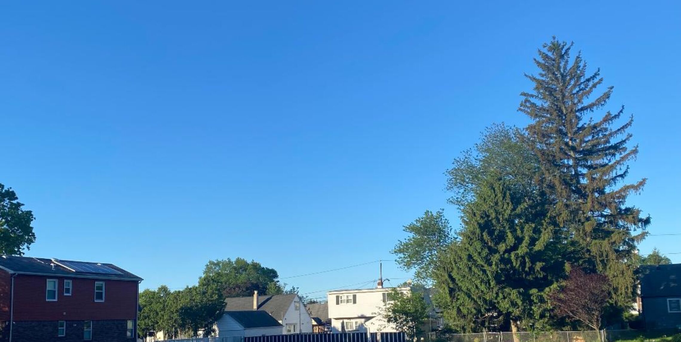
Forecast for Wednesday – warm and more humid but rain free!


Yesterday we had more high milky clouds that kept temperatures a couple of degrees lower than I expected. This morning the dew points have reached near 70 degrees and today will be warmer as well. A couple of fronts will approach the area tomorrow into Saturday with thunderstorms becoming likely by Thursday, Friday and Saturday will be stormy with possible very heavy rains along with strong to severe thunderstorms. Clearing by Saturday evening, Sunday into early next week should be warm and dry with comfortable humidity.

Forecast: Today, partly sunny and more humid, high in the upper 80s to around 90..

Tonight, mostly cloudy, low in the low 70s

Thursday, mostly cloudy warm and humid with a chance of showers and thunderstorms by the afternoon, becoming more likely by evening, high in the upper 80s.

Friday and Friday night, cloudy with showers and thunderstorms likely, some storms may have heavy rain and strong damaging winds, high in the low 80s.

Saturday, cloudy with showers and thunderstorms likely, some heavy rain possible ending by evening, high in the low 80s.

Sunday, becoming mostly sunny although still a chance of an afternoon thunderstorm, high in the mid 80s.

Monday and Tuesday, mostly sunny with highs in the mid 80s.

Marine Forecast: Today, South-southeast wind to 10 knots, seas 2 feet.
Outlook, Small craft advisories may be needed Friday through early Sunday as low pressure moves through the coastal waters. Sub-SCA conditions later Sunday into early next week. (SCA = Small Craft Advisories – Doreen)

Have a nice day!

Pleasantly warm with low humidity for Tuesday August 7th.


Yesterday a high pressure brought much more comfortable air into our area as dew points that were in the oppressive 70s in the morning dropped to the 50s by evening. Low humidity with warm temperature will be the rule today. Wednesday will be a warm day but with increasing humidity. Rain chances increase on Thursday and at this point of time Friday and Saturday have the best chance of rain and that rain may be heavy. Clearing on Sunday with nice weather continuing into the early part of next week.

Forecast: Today, mostly sunny with low humidity, high in the upper 80s.

Tonight, partly cloudy with a low around 70.

Wednesday, mostly sunny with increasing humidity, high in the upper 80s.

Thursday, partly sunny with showers and thunderstorms becoming likely late in the day, high in the upper 80s.

Friday, mostly cloudy with showers and thunderstorms likely, high in the low-mid 80s.

Saturday, mostly cloudy with showers and thunderstorms again likely, some rain may be quite heavy, high in the low 80s.

Sunday, mostly sunny, high in the mid 80s.

Monday, sunny, high in the mid 80s.

Marine Forecast: Today, north-northeast wind becoming southeast less than 10 knots, seas around 2 feet.
Outlook, Sub-advisory levels through Thursday but small craft advisories may be needed for Friday and Saturday. Below SCA levels Sunday and Monday.

Less humid air moving in after a sultry weekend!


Our area didn’t get the heavy rain that was in the forecast yesterday as only .15″ fell, southern New Jersey got the brunt of the rain and severe weather. Yesterday the dew point at my station hit 78 degrees which was the highest of the summer.. A cold front is crossing now and humidity levels will slowly decrease as the day goes on.. Tuesday will be the best day of the week with low humidity and warm temperatures. Humidity levels return on Wednesday and last through at least the early part of next weekend along with rain chances, the best chances of rain will be Friday into Saturday.

Forecast: Today, becoming mostly sunny and less humid, still quite warm with a high near 90.

Tonight, clear with temperatures falling to the low 60s.

Tuesday, sunny, high in the upper 80s.

Wednesday, mostly sunny becoming more humid, high upper 80s.

Thursday, partly sunny, chance of afternoon thunderstorms, high in the upper 80s.

Friday, mostly cloudy, chance of showers and thunderstorms, highs in the low-mid 80s.

Saturday, mostly cloudy, chance of showers and thunderstorms, high in the mid 80s.

Sunday, mostly sunny, high in the mid 80s.

Marine forecast: Today, northwest winds less than 10 knots, seas 3-4 feet.
Outlook, below advisory level winds and seas through Thursday, advisories may be needed Friday into Saturday.

Flash flood watch issued for this afternoon and tonight!


Torrential rains are possible from early this afternoon to early Monday morning, some rain rates in heavier thunderstorms may reach over 2 inches an hour, dew points are in the mid 70s and the atmosphere in our area is filled with abundant moisture. Some thunderstorms can also be accompanied by strong to damaging winds and hail.. A refreshing cold front will move through our area on Monday morning, clearing with much lower humidity by the afternoon. Tuesday will be a warm comfortable day.. Humidity will rise a little bit from Wednesday through Friday along with thunderstorm chances..

Forecast: Today, mostly cloudy and very humid, chance of showers and thunderstorms mainly after 1PM, some storms may produce strong winds and heavy rain, high in the upper 80s.

Tonight, showers and thunderstorms, some storms will have very heavy rain along with strong gusty winds, low in the low 70s.

Monday, Showers ending by 9am with gradual clearing and less humid, skies becoming mostly sunny, highs in the upper 80s.

Tuesday, Sunny with comfortable humidity, high in the upper 80s.

Wednesday, partly sunny, high upper 80s.

Thursday, partly sunny with a chance of afternoon showers and thunderstorms, high in the upper 80s.

Friday, mostly cloudy with a chance of showers and thunderstorms, high in the mid 80s.

Saturday, partly cloudy with a chance of showers and thunderstorms, high in the mid 80s.

Sunday, morning showers then clearing, high in the low 80s..

Marine forecast: Small craft advisory issued for southerly winds gusting to 25 knots and seas up to 6 feet.
Outlook, small craft advisory continues into Monday morning then seas and winds subside to less than advisory levels through Thursday.

Quite warm and humid this weekend, strong thunderstorms likely on Sunday!


High humidity will continue this weekend with dew points in the uncomfortable low-mid 70s. Today will be hot again most areas will be dry but an very isolated thunderstorm can not be ruled out. Sunday as a cold front approaches thunderstorms will be likely especially late in the day and at night, some of these storm could be very strong to severe. Storms end by Monday morning and with the passing of the cold front humidity levels will lower. Nice day on Tuesday with continued low humidity. Rest of the week looks at this point warm with a slight increase of humidity.

Forecast; Today, mostly sunny and humid with a slight chance of an isolated afternoon thunderstorm, highs in the low 90s.

Tonight: partly cloudy and muggy, lows only dropping to the mid 70s.

Sunday, partly sunny and humid with showers and thunderstorms late in the day and at night, some storms may be very strong to severe with damaging winds, hail and torrential rainfall, high near 90.

Monday, morning showers then becoming partly sunny, less humid, high in the upper 80s.

Tuesday, mostly sunny, comfortable humidity, high in the upper 80s.

Wednesday, mostly cloudy, high in the upper 80s.

Thursday, mostly sunny, high in the upper 80s.

Friday, mostly sunny but a chance of an afternoon thunderstorm, high again in the upper 80s.

Marine Forecast: Today, southerly winds increasing to 10-13 knots by afternoon, seas 2 feet.
Outlook, chance of small craft advisory seas and winds on Sunday till mid day Monday otherwise sub-sca conditions the rest of the week.