Hot and humid weather into the weekend, thunderstorms likely on Sunday!


We were back into the heat yesterday and today will be nearly the same with temperatures reaching the middle 90s. Saturday will be a couple of degrees cooler but dew points will rise. Thunderstorm chances increase on Sunday as a cold front approaches, some of these storms could be very strong to severe with damaging winds and torrential rain. Thunderstorms will persist into Monday morning as the front moves through bringing less humid air into our area. Temperatures Tuesday through Friday will average a bit above normal only a slight chance of rain on about Wednesday.

Forecast: Today, sunny, high in the mid 90s.

Tonight, partly cloudy and muggy, low in the low 70s.

Saturday, mostly sunny and very humid, high around 90.

Sunday, mostly cloudy and very humid with a chance of thunderstorms during the day becoming likely by evening, some storms could produce damaging winds and torrential rains, high in the upper 80s.

Monday, mostly cloudy with early morning thundershowers, high upper 80s.

Tuesday, mostly sunny, high in the upper 80s

Wednesday, partly sunny, high upper 80s.

Thursday, mostly sunny with a high again in the upper 80s.

Marine Forecast: Today, southwest wind 5-10 knots, seas 2 feet.
Outlook: Sub advisory level winds and seas on Saturday, advisories may be needed for Sunday into Monday morning as a stronger southerly flow develops and chances of thunderstorms increase.. Sub SCA Tuesday into Thursday.

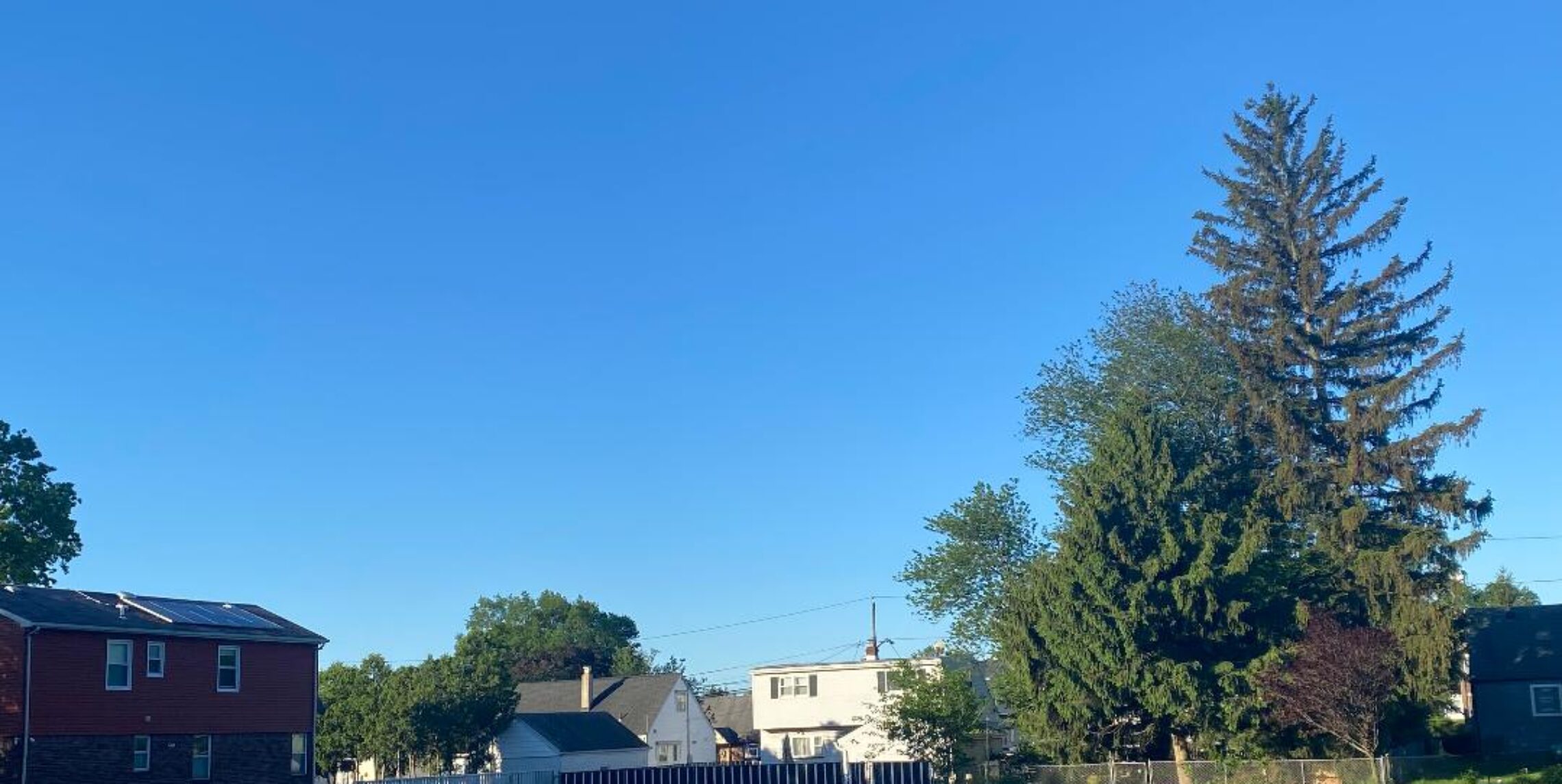
Now that the clouds have moved away it is going to get hot.


Yesterday’s clouds and showers have moved offshore, while I only received .41″ on my rain gauge parts of Central New Jersey had more than 4″ of rainfall. Today will feature much more sunshine with temperatures rising to above 90 degrees. Friday will be a couple of degrees hotter. Weekend will be quite warm and humid with thunderstorm chances increasing especially on Sunday and Monday with a cold front moving through. Warm and less humid next Tuesday and Wednesday.

Forecast: Today, Sunny with a high in the lower 90s.

Tonight, mostly clear, low around 70.

Friday, mostly sunny but with a low chance of an afternoon or evening thunderstorm, high in the low 90s.

Saturday, mostly sunny, high near 90.

Sunday partly sunny, quite humid with a chance of thunderstorms developing, high near 90.

Monday, mostly cloudy with a chance of thunderstorms, high in the mid 80s.

Tuesday and Wednesday, mostly sunny both days, less humid, highs in the upper 80s.

Marine Forecast: Today, variable winds less than 10 knots, seas 2 feet.
Outlook: Mainly below advisory level winds and seas, however close to advisory levels on Sunday and Monday as a cold front moves through the ocean waters.

Good chance of showers and thunderstorms but also some sun for Wednesday!


July is over and we averaged around 3 degrees above normal for the month, the 18th straight month of above normal temperatures and looking at the long range forecast for August it appears that the above normal temperature trend will continue.
There were some early morning showers that moved through Northern New Jersey, now there is some sunshine. The day will be mostly cloudy with a 50% chance of more afternoon and evening thunderstorms. Warmer on Thursday, Hot on Friday, very warm and humid weekend with thunderstorm chances again increasing by Sunday.

Forecast: Today, mostly cloudy, high in the low 80s.

Tonight, mostly cloudy, low in the upper 60s.

Thursday, mostly sunny, high in the upper 80s.

Friday, partly sunny, hot, high in the low-mid 90s.

Saturday, mostly sunny, quite warm and humid, high around 90.

Sunday, partly sunny with a chance of afternoon and evening thunderstorms, high in the upper 80s.

Monday, chance of morning showers and thunderstorms, highs in the mid 80s.

Tuesday, mostly sunny and less humid, high in the upper 80s..

Marine Forecast: Today, south wind around 10 knots, seas 2-3 feet, chance of thunderstorms..
Outlook:, Sub-advisory level winds and seas into the weekend, however by Sunday a cold front will be approaching with winds and seas increasing especially in thunderstorms.

Mostly cloudy and a little muggy for your Tuesday!


A small low pressure will move off the coast today giving us mostly cloudy skies but most of the day will remain dry as the rain will mainly stay offshore.. Warmer on Wednesday but more of a chance of thunderstorms, quite warm to hot Thursday through the weekend.

Forecast: Today, mostly cloudy, high in the low 80s.

Tonight, mostly cloudy with lows in the upper 60s.

Wednesday, partly sunny, warmer with a good chance of thunderstorms in the afternoon and evening, highs in the upper 80s.

Thursday and Friday, mostly sunny, highs near 90.

Saturday and Sunday, partly sunny with a chance of afternoon and evening thunderstorms, highs near 90.

Monday, partly sunny, with a chance of thunderstorms, high in the upper 80s.

Marine Forecast: Today, easterly winds to 10 knots, seas 1 – 2 feet.
Outlook, sub-advisory seas and winds through the weekend, best chance of thunderstorms on Wednesday.

Pleasant day to cut the grass!


This upcoming week does not appear at this time to be as rainy as I first thought, today and Tuesday will be mainly dry although a weak thundershower can not be ruled out. Wednesday looks to be the wettest day of the upcoming week. Quite warm and humid weather from Thursday through next weekend with chances of thunderstorms each day but most of the time it will stay dry..

Forecast: Today, partly sunny with only a slight chance of an afternoon thunderstorm, high in the low 80s.

Tonight, mostly cloudy with a slight chance of an evening thunderstorm, low in the upper 60s.

Tuesday, mostly cloudy with a chance of afternoon and evening thunderstorms, high in the low 80s.

Wednesday, a better chance of afternoon and evening thunderstorms, highs in the mid 80s.

Thursday, partly sunny with a chance of a afternoon thunderstorm, high in the upper 80s.

Friday, mostly sunny, with a chance of a afternoon thunderstorm, high in the upper 80s.

Saturday and Sunday, quite warm and humid, chance of thunderstorms, partly cloudy, highs near 90.

Marine Forecast: Today, southeast wind less than 10 knots, seas 2 feet.
Outlook, sub-advisory winds and seas into the weekend, thunderstorms possible, best chance for storms is on Wednesday.