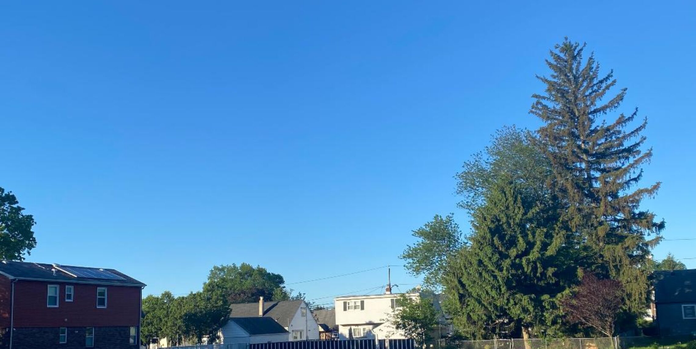
More pleasant temperatures and humidity this week!


Yesterday it did get less humid but the temperature reached a high of 93 degrees, 10 out of the last 11 days were 90 degrees or more and so far 15 for the year. More seasonable weather but continued on the dry side for most of this coming week. Some indications of more heat and humidity starting next weekend but at this point it doesn’t look as extreme as we have had the last several days.. And it has been dry so far this month with less than a half of inch of rain, lawns are getting brown…

Today it will becoming mostly sunny with low humidity, highs in the mid-upper 80s.

Tonight, partly cloudy with an overnight low in the mid 60s..

Tomorrow, partly sunny with only a very slight chance of an afternoon thunderstorm, highs in the mid 80s.

Wednesday and Thursday, mostly sunny, highs again in the mid 80s..

Friday a little more humid, mostly sunny, highs in the mid 80s.

The weekend looks more humid and at this time just a chance of showers, highs in the upper 80s..

Marine Forecast: Northeast wind today around 10 knots, seas 2 feet.
Outlook: Sub small craft advisory level winds and seas into the weekend.

Relief is on the way!


Yesterday was extremely hot in the area, the temperature in Clifton reached 96 degrees and would of hit the 100 degree mark if some clouds moved through during the hottest part of the day. Most places just to our south hit the century mark, 102 in Newark, 100 in both Trenton and Atlantic City. Severe thunderstorms did not occur here but in Monmouth and Ocean counties evening storms cause damaging winds with frequent lightning. Relief is coming our way after one more day in the 90s today but the humidity will slowly lower.

So today will be mostly sunny with highs in the low 90s, less humid by the afternoon.

Tonight, partly cloudy with lows in the mid to upper 60s.

Monday, sunny and pleasant with highs in the mid 80s.

Tuesday through Friday – Pleasantly warm with partly to mostly sunny days, highs in the mid 80s..

Looking ahead it looks like above normal temperature will prevail starting next weekend but at this point the heat does not look as intense as this last heat wave.

Marine Forecast: North wind becoming West-southwest less than 10 knots, seas 1-2 feet.
Outlook, sub-advisory levels through the week, however seas may increase to 4 feet on Wednesday with an onshore wind.

Severe Thunderstorm Watch issued until 7PM.


Strong thunderstorms at 12:30pm are moving into the Poconos and will be heading toward our area. These storms are coming in a little earlier than I expected and should be in our area around 4PM. Damaging winds, hail, frequent lightning and heavy rain are possible. If you hear thunder take cover or maybe you can just fly a kite with key attached and see what happens.

Intense heat today, strong thunderstorms possible tonight, relief coming!


Yesterday we had another hot day with high temperatures mostly in the mid 90s. Today will be hotter and more humid, extreme heat warnings have been issued. Strong to severe thunderstorms are possible late tonight. Next week should be more seasonable with highs only in the 80s, that is when I will finally get out to cut the grass..

So today will be mostly sunny with highs near 100, heat index of 105.

Tonight chance of strong to severe thunderstorms mainly after 9pm, low in the low 70s.

Sunday a slight chance of a morning thunderstorm then partly sunny and becoming less humid, highs in the low 90s.

Monday, mostly sunny with highs in the mid 80s.

Tuesday through Friday, partly cloudy with highs in the 80s.

Marine Forecast: Today, west wind around 10 knots, seas 2 feet.. Tonight chance of thunderstorms with frequent lightning and strong gusty winds..
Sub-advisory level winds and seas through the end of next week..

Hot Friday, even hotter Saturday!


Well yesterday we got a little less humid air that moved down from the north but it still was in the mid 90s, today will be similar, however tomorrow we probably have the hottest temperatures of the summer so far, relief next week.

Today we will have sunny skies with highs in the low-mid 90s, moderate humidity levels.

Tonight, mostly clear with a low in the low 70s.

Saturday will be extremely hot and humid with highs near 100 degrees, heat index will be around 107.

Cold front approaching on Saturday night with a chance of thunderstorms.

Sunday a chance of morning showers and thunderstorms then partly sunny, not as hot with highs around 90.

Relief finally starting Monday with most of the week dry with highs in the more seasonable 80s.

Marine forecast: Variable winds today less than 5 knots, seas 1 foot.. Sub advisory levels through next week but boaters be aware of possible thunderstorms Saturday night into Sunday morning…