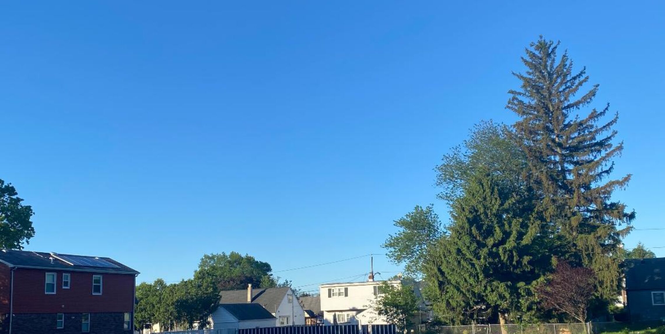
Dry Saturday! Good chance of thunderstorms on Sunday!


Despite lots of clouds yesterday the temperatures reached around 90 degrees. Today will be the best day for outdoor activities. We had a shower around 4am but the rest of the day will be rain free. Sunday more clouds and humidity with thunderstorms, some that may be accompanied by very heavy rain. However, there may be some sun between the storms.
Hot Monday through Wednesday then a cold front Wednesday night with more thunderstorms, temperatures back to the normal 80s starting on Thursday.

Forecast: Partly cloudy today, humidity moderate, highs near 90..

Tonight, chance of showers and thunderstorms after 9pm, lows in the low 70s

Sunday, mostly cloudy becoming much more humid with thunderstorms likely, highs in the upper 80s.

Sunday night, chance of thunderstorms, lows in the low 70s.

Monday and Tuesday, very hot with highs in the mid 90s.

Wednesday, mostly sunny with a chance of afternoon thunderstorms, highs in the mid 90s

Thursday and Friday, mostly sunny, less humid, highs in the upper 80s..

Marine Forecast: Today, south to southwest wind less than 10 knots seas 2-3 feet..
Outlook, mainly below advisory level winds and seas, however winds may be close to advisory levels tomorrow afternoon and again on Wednesday afternoon.

Pleasant Friday despite lots of high clouds, humidity and rain chances increase for the weekend!


This morning lots of cirrus clouds from the west is dimming our sunshine and those clouds will be around most of the day, however it still will be pleasantly warm with continued low humidity today.. A warm front on Saturday will be crossing the area and depending on how fast this front moves through will determine how much clouds are around. Two of the computer models show a huge difference in high temperatures, one has the high at 85, another 95 degrees, so we will split the difference. Sunday we will be in the warm sector with high humidity along with higher chances of showers and thunderstorms, some of those storms can result in very heavy rain but don’t cancel any outdoor plans since the chances are 50-50 of us having any rain at all.. Monday through Wednesday it will be very hot but a cold front moving through on Wednesday night will bring a relief to the heat and humidity.

Forecast for today, high clouds with a high in the upper 80s.

Tonight slight chance of a shower, low around 70..

Saturday mostly cloudy with a slight chance of a shower, high near 90.

Sunday, more humid, mostly cloudy with a chance of showers and thunderstorms, some of the storms may contain very heavy rain, high near 90.

Monday a less chance of showers, partly sunny and hot, highs in the mid 90s.

Tuesday mostly sunny and very hot, highs in the mid to upper 90s.

Wednesday, mostly sunny with highs in the mid 90s. Chance of night time showers with a cold front.

Thursday, mostly sunny and less humid, highs in the upper 80s.

Marine Forecast: Today, light winds this morning becoming southeast less than 10 knots, Seas around 2 feet.
Outlook: Sub-advisory level winds and seas through mid-week but chance of thunderstorms on Sunday and again on Wednesday night..

Dry and warm next two days, humidity and rain chances increase for the weekend!


Quite warm but not that humid today and Friday and with less clouds temperatures will be a couple of degrees warmer than yesterday when it hit 85 degrees. It will stay quite warm for the weekend but as the humidity increases so do chances of thunderstorms especially Saturday night into Monday morning. Hot into middle of next week..

Forecast for today, Mostly sunny with a high near 90.

Tonight, mostly clear, low in the upper 60s.

Friday, Sunny with highs again around 90.

Saturday and Sunday, mostly cloudy, very warm and becoming more humid, chance of thunderstorms, some of these storms will be accompanied by very heavy rain, highs both days from the upper 80s to around 90.

Monday, partly sunny with a lesser chance of thunderstorms, hot with highs in the low 90s.

Tuesday and Wednesday, mostly sunny with highs in the low-mid 90s.

Longer range models show cooler weather by the end of next week!

Marine forecast: Today, northeast wind around 10 knots, seas up to 4 feet.
Outlook: Sub-advisory level wind and seas but chance of thunderstorms Saturday through Monday..

Enjoy the pleasant weather the next couple of days because another heat wave is lurking!


Yesterday was a pleasant day throughout the region except for the area around Warwick, NY that had very heavy rain in the evening with reports of 2-3″ of rain. Pleasant weather will continue into Thursday but heat and humidity will start to rise as we approach the weekend.

Today after early morning clouds it will become mostly sunny and warm with bearable humidity, highs in the upper 80s.

Mostly clear tonight with lows in the upper 60s.

Thursday, sunny and a little warmer with highs near 90.

Friday sunny again with humidity starting to rise by evening, highs again near 90.

Saturday, partly cloudy and more humid with highs in the low 90s, chance of thunderstorms at night..

Sunday, hot and humid with partly cloudy skies, chance of afternoon and evening thunderstorms, highs in the low 90s.

Monday through Thursday of next week look for hot and humid conditions to continue with highs in the 90s..

Marine Forecast: Today, east wind less than 10 knots, seas 2 feet.
Outlook: Sub-advisory levels into next week, chance of thunderstorms especially Saturday evening and again on Sunday afternoon.

Pleasantly warm summer weather to continue.


If you liked yesterday’s weather you will like today as temperatures and humidity will continue the next few days. There is only a slight chance of an afternoon pop up thundershower both today and tomorrow but for most part we will stay dry.. Little warmer and more humid weather for the weekend with thundershower chances increasing somewhat but by no means that it will be a total washout.

Today will be mostly sunny with only a slight chance of an afternoon thundershower, highs in the upper 80s.

Tonight, partly cloudy with a slight chance of a early evening thundershower, lows in the upper 60s.

Wednesday, mostly sunny again with still a small chance of an afternoon thundershower, highs in the upper 80s.

Thursday and Friday, mostly sunny with highs in the upper 80s..

Saturday through Monday, partly sunny and more humid with a slightly better chance of afternoon thundershowers, highs near 90.

Marine Forecast: Northeast wind around 5 knots, seas 2 feet..
Outlook – light winds and seas through the weekend, however thunderstorm chances increase for the weekend..