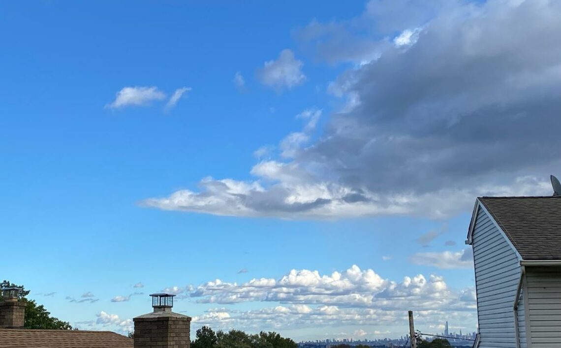
Cloudy and colder today with light rain changing to snow with light accumulations! Sunny and cold on Tuesday! Coastal storm to give us heavy snow from late Wednesday afternoon into Thursday morning, possible accumulations of 12-18 inches!


Good morning!

Skies are cloudy early on this Monday morning and temperatures range from near 40 in Clifton down to 30 further inland, winds are light northerly.

CLIFTON’S ALMANAC FOR DECEMBER 14TH:

AVERAGE HIGH: 44 AVERAGE LOW: 27

RECORD HIGH – 66 – 2015 RECORD LOW: 7 – 1989

YESTERDAY’S HIGH: 50 LOW: 43 PRECIPITATION: NONE

A weak low pressure will give us some precipitation that will start off as rain beginning around 9 a.m. and then change to snow by noontime before ending around 5 p.m. Accumulations will be around 1/2″ in Clifton but up to 2-3 inches across the higher elevations of northwest New Jersey. Temperatures will be much lower than the 60 degree highs we had yesterday with most readings near 40.

Tuesday will be a sunny but cold day as high pressure builds from the northwest.

Then on Wednesday a coastal storm will develop causing snow across the entire area. The snow should start around 4 p.m. and then becoming heavy at times Wednesday night before ending on Thursday morning. At this time accumulations of 12-18 inches are likely with some higher amounts possible. Winds are expected to become strong with some blizzard conditions expected. The last time we had a foot or more of snow was on March 7th, 2018 when 14 inches accumulated.

Cold and dry weather is then expected Thursday afternoon through Saturday.

A weak frontal system may give us rain or snow on Sunday with slightly milder temperatures.

THE FORECAST:

TODAY – DEC 14 – Rain developing around 9 a.m. then changing to snow by noon and ending by 5 p.m., accumulations of 1/2″ possible. High near 40.

TONIGHT: Becoming mostly clear, low in the upper 20s.

TUESDAY – DEC 15 – Sunny, high near 40.

WEDNESDAY – DEC 16 – Snow beginning around 4 p.m. becoming heavy at times through Wednesday night, high in the low 30s.

THURSDAY – DEC 17 – Snow possibly heavy at times till 10 a.m. then ending around noon, total accumulations of 12-18 inches likely, high in the low 30s.

FRIDAY – DEC 18 – Sunny, high in the mid 30s.

SATURDAY – DEC 19 – Partly sunny, high in the upper 30s.

SUNDAY – DEC 20 – Mostly cloudy with a chance of rain or snow, high in the low 40s.

MARINE FORECAST: A small craft advisory has been posted effective between 2 p.m. this afternoon until 10 a.m. Tuesday morning for northwest winds gusting to 30 knots, seas 3-5 feet.

OUTLOOK – No advisories expected for Tuesday; gales likely with possible storm force gusts Wednesday afternoon and night; gales still possible Thursday morning; small craft advisories likely to continue Thursday afternoon through Friday.

Have a nice day and stay safe and healthy!

Partly sunny and quite mild today! Colder on Monday with rain and or snow likely! Strong coastal storm Wednesday afternoon through Thursday morning with heavy snow likely! Dry and cold Thursday afternoon through the beginning of next weekend!


Good morning!

Skies are partly cloudy early on this Sunday morning and there is some dense fog in parts of the area. Temperatures are mild with readings ranging from the upper 40s in Clifton down to the mid 30s further inland. Winds are mainly calm.

CLIFTON’S ALMANAC FOR DECEMBER 13TH:

AVERAGE HIGH: 45 AVERAGE LOW: 27

RECORD HIGH: 68 – 2015 RECORD LOW: 5 – 1988

YESTERDAY’S HIGH: 50 LOW: 38 PRECIPITATION: NONE

Today will be a partly sunny day after early morning fog, temperatures will be quite mild with highs near 60 degrees. A weak cold front will come through dry this evening.

Low pressure along the front to our south will cause some rain or snow from around 9 a.m. to 3 p.m. on Monday. Accumulation of snow will range from around 1/2 an inch in the Clifton area but up to 2 inches across higher elevations to our north and west.

Dry and chilly on Tuesday.

The potential for a strong coastal storm from Wednesday afternoon through Thursday morning is increasing as most computer models or indicating 1-2 feet of snow with blizzard conditions possible. Still it is a few days away so the forecast may and probably will change.

Dry and cold weather is expected Thursday afternoon through the beginning of next weekend.

THE FORECAST:

TODAY- DEC 13 – Becoming partly sunny after early morning fog, quite mild, high near 60.

TONIGHT – Partly cloudy this evening then becoming mostly cloudy, low in the mid 30s.

MONDAY – DEC 14 – Cloudy with rain and or snow mainly from 9 a.m. till 3 p.m., colder with highs only near 40.

TUESDAY – DEC 15 – Sunny, high in the upper 30s.

WEDNESDAY – DEC 16 – Snow developing by the afternoon becoming heavy at times at night, significant snow accumulations likely, windy with blizzard conditions possible. high near 30.

THURSDAY – DEC 17 – Chance of snow in the morning then becoming partly sunny in the afternoon, high in the low 30s.

FRIDAY – DEC 18 – Mostly sunny, high in the mid 30s.

SATURDAY – DEC 19 – Sunny, high in the upper 30s.

MARINE FORECAST: TODAY – Southwest winds to 10 knots, seas 3 feet.

OUTLOOK – A small craft advisory has been posted effective between 2 p.m. Monday afternoon until 6 a.m. Tuesday morning; no advisories expected the rest of Tuesday; gale conditions likely on Wednesday; small craft advisories for high seas on Thursday.

Have a nice day and stay safe and healthy!

Mostly cloudy and mild today with a chance of light rain showers this morning! Mild and dry on Sunday! Possible snow or rain on Monday! Possibilities of a major snowstorm increasing for Wednesday!


Skies are partly to mostly cloudy early on this Saturday morning and temperatures range from the upper 30s in Clifton down to the low 20s further inland, winds are mainly calm.

CLIFTON’S ALMANAC FOR DECEMBER 12TH:

AVERAGE HIGH: 45 AVERAGE LOW: 27

RECORD HIGH: 65 – 2015 RECORD LOW: -1 – 1988

YESTERDAY’S HIGH: 55 LOW: 30 PRECIPITATION: NONE

Note: 60 years ago today our area received nearly two feet of snow, it is the earliest snowstorm I remember, I especially liked the three days off from school.

A weak warm front moving through the area today will cause mainly cloudy skies with a chance of light rain showers mainly occurring late this morning. Despite the clouds temperatures will once again rise into the 50s.

A weak cold front will cross the area on Sunday but with no precipitation so the day will be partly sunny and quite mild with highs near 60.

Colder on Monday and with a low pressure expected now to move further north than was indicated yesterday which will cause some light rain or snow mainly falling in the morning.

Tuesday will be dry and seasonably cold.

Prospects for a heavy snow event is becoming more likely mainly from Wednesday afternoon into Thursday morning as a coastal storm is expected to move just off our coast. At this time snowfall amounts of over 6 inches are likely along with windy conditions and possibly some coastal flooding.

Mainly dry and cold Thursday afternoon through Friday.

THE FORECAST:

TODAY – DEC 12 – Cloudy with a chance of showers mainly from 9 a.m. till noon, high in the mid 50s.

TONIGHT – Mostly cloudy, low in the mid 40s.

SUNDAY – DEC 13 – Partly sunny, high near 60.

MONDAY – DEC 14 – Cloudy with a chance of rain or snow in the morning then becoming mostly sunny, high in the low 40s.

TUESDAY -DEC 15 – Mostly sunny, high in the upper 30s.

WEDNESDAY – DEC 16 – Cloudy with snow likely developing in the afternoon and continue possibly heavy at times through Wednesday night, high in the low 30s.

THURSDAY – DEC 17 – Snow ending in the morning then becoming mostly sunny, high in the mid 30s.

FRIDAY – DEC 18 – Mostly sunny, high in the mid 30s.

MARINE FORECAST: TODAY – Southerly winds to 10 knots, seas 1 foot.

OUTLOOK – No advisories expected for Sunday; advisories expected Monday afternoon and at night; no advisories expected for Tuesday; advisories expected on Wednesday with gales possible.

Have a nice weekend and stay safe and healthy!

Mostly sunny and pleasantly mild today! Mild over the weekend with a chance of light rain Saturday afternoon and evening! Possible coastal storm for Wednesday with rain and snow!


Good morning!

Skies are partly cloudy early on this Friday morning and temperatures range from the low 30s in Clifton down to near 20 further inland, winds are mainly calm.

CLIFTON’S ALMANAC FOR DECEMBER 11TH:

AVERAGE HIGH: 45 AVERAGE LOW: 28

RECORD HIGH: 62 – 2015 RECORD LOW: 6 – 1988

YESTERDAY’S HIGH: 49 LOW: 34 PRECIPITATION: NONE

High pressure moving offshore will give us a light southwesterly flow of mild air, high temperatures will be around 5 degrees warmer than yesterday with readings in the mid 50s.

A weak warm front will give us a chance of mainly light showers Saturday afternoon and evening, highs again will be in the 50s.

Mainly dry on Sunday with high temperatures well up into the 50s with some spots will have a 60 degree reading. A cold front will come through dry in the late afternoon or evening.

Monday will be cooler and a weak low to our south may push far enough north to give us a chance of rain.

After a dry and cool Tuesday we will then watch a potential coastal storm for Wednesday that may give us snow or rain. Plenty of time to watch this system but at this time there is a chance of a significant snow storm especially over areas just to our north and west.

THE FORECAST:

TODAY – DEC 11 – Mostly sunny, high in the mid 50s.

TONIGHT – Mostly cloudy, low near 40.

SATURDAY – DEC 12 – Cloudy with a chance of light rain mainly in the afternoon and evening, high in the low 50s.

SUNDAY – DEC 13 – Partly sunny, high in the upper 50s.

MONDAY – DEC 14 – Partly sunny with a chance of showers, high in the mid 40s.

TUESDAY – DEC 15 – Sunny, high in the low 40s.

WEDNESDAY – DEC 16 – Mostly cloudy with a chance of rain or snow, high near 40.

THURSDAY – DEC 17 – Mostly sunny, high near 40

MARINE FORECAST: A small craft advisory has been posted effective between 11 a.m. this morning until 7 p.m. this evening for southwest winds gusting to 25 knots, seas 1-2 feet.

OUTLOOK – No advisories expected Saturday through Tuesday.

To all that celebrate have a very happy and safe Hanukkah!

Partly sunny and milder today and again on Friday! Mild over the weekend with showers possible Saturday afternoon through Sunday morning! Dry and cooler Monday and Tuesday! Possible coastal storm on Wednesday!


Good morning!

Skies are partly cloudy early on this Thursday morning and temperatures range from the mid 30s in Clifton down to near 30 further inland, winds are light out of the west.

CLIFTON’S ALMANAC FOR DECEMBER 10TH:

AVERAGE HIGH: 45 AVERAGE LOW: 28

RECORD HIGH: 61 – 2015 RECORD LOW: 7 – 1982

YESTERDAY’S HIGH: 36 LOW: 28 PRECIPITATION: .02″ SNOWFALL: .2″

The disturbance that gave our area a dusting of snow yesterday has moved offshore and after having a few cold days, today will be milder with highs approaching 50 degrees.

Another nice December day on Friday with partly sunny skies and milder temperatures.

The weekend will continue to be quite mild but a weak frontal system may give us some light showers mainly from Saturday afternoon through Sunday morning.

Cooler and dry weather is expected Monday and Tuesday.

A possible coastal storm for Wednesday and at this time the storm would give us mainly rain in our area but snow further inland, however there is plenty of time for this forecast to change.

THE FORECAST:

TODAY – DEC 10 – Partly sunny and milder, high near 50.

TONIGHT – Increasing clouds, low near 30.

FRIDAY – DEC 11 – Partly sunny, high in the low 50s.

SATURDAY – DEC 12 – Cloudy with a chance of showers in the afternoon and at night, high in the mid 50s.

SUNDAY – DEC 13 – Chance of showers in the morning then becoming partly sunny in the afternoon, high in the upper 50s.

MONDAY – DEC 14 – Mostly sunny and cooler , high in the mid 40s.

TUESDAY – DEC 15 – Sunny, high in the low 40s.

WEDNESDAY – DEC 16 – Mostly cloudy with a chance of rain or snow, high in the low 40s.

MARINE FORE