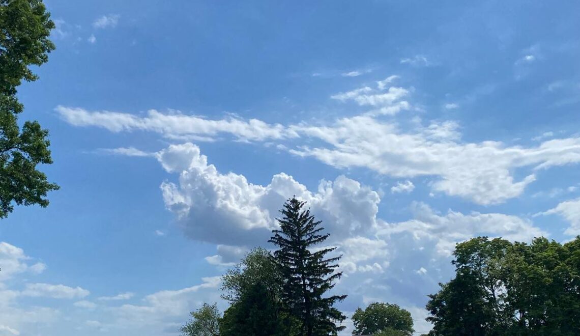
Mostly sunny today and a little cooler! Rain and milder tomorrow through Saturday morning! Cold but not frigid from Sunday through the middle of next week!


WEDNESDAY   JANUARY 10, 2018  5:49 A.M.

Skies are mostly clear early on this Wednesday morning and with the clear skies and light winds there is a wide range of temperatures with the mid 20s in the Clifton area falling down to the single digits in some areas further inland, Walpack is now at 9 degrees.   Look out for possible black ice on untreated roads and sidewalks early this morning as yesterday’s snow melt has refrozen this morning.

Today we will have plenty of sunshine as high pressure is over our area, temperatures will be a little cooler than yesterday with highs mainly in the upper 30s.

High pressure will move off the coast tonight, temperatures will not fall much tonight for today’s highs.  Tomorrow we will see an increase in clouds but it will be milder, rain from a slow moving frontal system will move in at night and end Friday morning.

A brief lull in the precipitation Friday afternoon, temperatures will rise to well up into the 50s with a 60 degree mark possible in some spots.

Another round of rain Friday night into Saturday morning with quite mild temperatures continuing.

Clearing Saturday night and becoming much colder.  Cold air will be with us Sunday through the middle of the week but even though temperatures will be below normal it still won’t be as frigid as we experienced the last couple of weeks.  There is a low chance of some light snow on Tuesday.


THE FORECAST:

TODAY –  JAN  10 – Sunny, high in the upper 30s.

TONIGHT – Becoming mostly cloudy, low in the mid 30s.

THURSDAY – JAN 11 – Mostly cloudy, high in the upper 40s, rain likely after 9 p.m.

FRIDAY – JAN 12 – Rain in the morning then mostly cloudy in the afternoon, quite mild, high in the upper 50s, rain developing again at night.

SATURDAY – JAN 13 – Rain ending around noon, high near 50, becoming much colder at night.

SUNDAY – JAN 14 – Mostly sunny, high in the low 30s.

M.L. KING DAY – JAN 15 – Mostly sunny, high in the upper 20s.

TUESDAY – JAN 16 – Mostly cloudy with a chance of snow, high in the low 30s.


MARINE FORECAST:  TODAY – North-northeast wind to 6 knots, seas 1 foot.

OUTLOOK – No advisories expected during the day on Thursday; possible small craft conditions Thursday night; small craft advisories expected Friday into Saturday.


Have a nice day!


Temperatures will rise to above freezing today for the first time since Christmas! Cooler on Wednesday! Rain and mild Thursday night into Saturday!


TUESDAY  JANUARY 9, 2018  5:52 A.M.

Our area has partly cloudy skies early on this Tuesday morning and with light winds there is a wide range of temperatures ranging from around 30 in the Clifton area down to the mid teens in some inland areas.  There may be some black ice on untreated surfaces so be careful if you head outside early this morning.

Finally we will have our first above freezing day since Christmas which will end the streak of below freezing temperatures at 14 days, this is the longest of below freezing temperatures since the 19 days recorded in December 1989 and the third longest since I started my records in 1973, the second longest was 15 days recorded in February 1979.  Today will also have light winds and plenty of sunshine which will make it feel very comfortable after being in the deep freeze.

A cold front will come through dry late tonight and tomorrow will be a dry day with slightly cooler temperatures.

Quite mild Thursday through Saturday with rain expected Thursday night into at least Saturday morning, one to three inches of rain is possible.  The rain may change to snow showers before ending Saturday night.

Quite cold but not frigid Sunday through the beginning of next week but we should be dry.


THE FORECAST:

TODAY – JAN 8 – Sunny, high near 40.

TONIGHT – Mostly clear, low around 20.

WEDNESDAY – JAN 9 – Partly sunny, high in the upper 30s.

THURSDAY – JAN 10 – Mostly cloudy, high in the upper 40s, rain after midnight.

FRIDAY – JAN 11 – Rain and mild, high in the mid 50s.

SATURDAY – JAN 12 – Cloudy with rain mainly in the morning, high in the upper 40s, colder with a chance of snow showers late at night.

SUNDAY – JAN 13 – Mostly sunny and colder, high in the low 30s.

M.L. KING DAY – JAN 14 – Sunny and cold, high in the upper 20s.


MARINE FORECAST:  TODAY – Westerly winds to 13 knots, seas 2 feet.

OUTLOOK – No advisories expected Wednesday into the day on Thursday; small craft advisories expected Thursday night through Saturday.


Enjoy the milder weather!


Milder today but with some light snow this afternoon and evening! Sunny and in the 40s tomorrow! Significant rain and mild for the end of the week!


MONDAY  JANUARY 8, 2018  6:00 A.M.

We have mostly cloudy, to cloudy skies across the area early on this Monday morning and temperatures across the area are in the teens. These readings are 15 degrees warmer than this time yesterday in Clifton and up to 30 degrees warmer in some spots further inland.  Walpack was -14 this time yesterday is now 17 above this morning.

Today will be a milder day but it still will be cold enough for some light snow mainly falling later this afternoon, accumulations should be less than an inch.  In many areas today will be the 14th straight day of below freezing temperatures.

Tomorrow will likely be the first day of above freezing temperatures across the entire area as highs should rise into the low 40s and with plenty of sunshine and light winds it will feel much more comfortable than the frigid weather we have experienced the last two weeks.

A little cooler but dry on Wednesday.

A slow moving frontal system will likely give us some significant rain Thursday afternoon into the first half of Saturday, rainfall amounts may be as high as 2 1/2 inches and with quite mild temperatures should errode much of the snowpack that is in our area now.

Colder but not frigid weather Sunday through the beginning of next week.


THE FORECAST:

TODAY – JAN 8 – Cloudy with light snow likely mainly after 3 p.m., high in the low 30s.

TONIGHT – Light snow likely ending by 8 p.m., becoming partly cloudy late at night, low in the upper 20s.

TUESDAY – JAN 9 – Mostly sunny, high in the low 40s.

WEDNESDAY – JAN 10 – Partly sunny, high in the upper 30s.

THURSDAY – JAN 11 – Mostly cloudy with a chance of rain by the afternoon, high in the upper 40s.

FRIDAY – JAN 12 – Cloudy with rain likely, high in the low 50s.

SATURDAY – JAN 13 – Mostly cloudy with rain likely, high near 50.

SUNDAY – JAN 14 – Mostly sunny and colder, high in the low 30s.


MARINE FORECAST:  A small craft advisory is in effect until midnight tonight for southwest winds to 30 knots, seas 3-6 feet.

OUTLOOK – Possible small craft conditions Tuesday morning; no advisories expected Tuesday afternoon through the day on Thursday; small craft advisories will be likely Thursday night into Friday.


Enjoy the milder weather!

Sunny and a bit milder today with much less wind! Light wintry precipitation likely Monday afternoon and evening!


SUNDAY  JANUARY 7, 2018  5:56 A.M.

With clear skies temperatures have fallen to their lowest level of the season so far with readings ranging from 2 above zero in Clifton to many below zero temperatures further inland, Walpack now is at a chilly -12.  Winds are still a little brisk averaging 5-10 mph bringing wind chills lower than -10.

Today we will have sunshine in the morning followed by some increase in clouds this afternoon, high temperatures will be a few degrees higher than the 14 high temperature we had yesterday, also the winds will be much lighter so it will feel less harsh.  Today will be the 13th straight day of below freezing temperatures which is the longest stretch since the 19 days in December 1989.

A weak cold front on Monday will likely give us some light precipitation Monday afternoon into the early evening, a mix of snow, sleet and freezing rain is likely, accumulations will be less than an inch but any freezing rain on the cold untreated surfaces may cause some minor travel issues, temperatures may actually hit the freezing mark.

Dry with seasonably cool temperatures Tuesday and Wednesday, high temperatures will be above freezing both days.

Even milder Thursday through Saturday but with a good chance of rain Thursday night into the early weekend.


THE FORECAST:

TODAY – JAN 7 – Mostly sunny in the morning, increasing clouds in the afternoon, high near 20.

TONIGHT – Mostly cloudy, low in the low teens.

MONDAY – JAN 8 – Mostly cloudy with a chance of snow, sleet and freezing rain in the afternoon and evening, high in the low 30s, accumulations under an inch.

TUESDAY – JAN 9 – Mostly sunny, high near 40.

WEDNESDAY – JAN 10 – Mostly sunny, high in the upper 30s.

THURSDAY – JAN 11 – Mostly sunny in the morning, mostly cloudy in the afternoon, high in the mid 40s, chance of rain at night.

FRIDAY – JAN 12 – Mostly cloudy and mild with a chance of rain, high in the low 50s.

SATURDAY – JAN 13 – Mostly cloudy with a chance of rain, high in the upper 40s.


MARINE FORECAST:

TODAY – Northwest wind to 12 knots, seas 1-2 feet.

OUTLOOK – Possible small craft conditions Monday into the day on Tuesday; no advisories expected Tuesday night through Thursday.


Have a good day and continue to stay warm!

Another frigid and windy day today! Slightly milder on Sunday with much less wind! Temperatures may rise above freezing on Monday but with a chance of light wintry precipitation!


SATURDAY  JANUARY 6, 2018  6:00 A.M.

Skies are clear early on this Saturday morning and temperatures are once again very cold with readings ranging from 6 in Clifton to around zero further inland, winds are gusting out of the west, wind chills are from  10 to 20 degrees below zero.

Once again today will be bitterly cold and windy, high temperatures will again only reach the middle teens and with the winds it will feel like well below zero.  Tonight will be even colder but with much less wind, low temperatures by tomorrow morning will be close to zero with many inland spot below zero.

Sunday will be a couple of degrees warmer but less harsh as the winds will be light as high pressure moves over the area.

We may actually see the temperatures rise above freezing on Monday for the first time since Christmas Day, however a front approaching the area may cause a mix of snow and rain in the afternoon and evening however amounts will be light.

Seasonably cold and dry Tuesday and Wednesday.

Warmer Thursday and Friday but there is a chance of rain Friday as another front approaches the area.


THE FORECAST:

TODAY – JAN 6 – Sunny and windy, high in the mid teens, winds gusting to near 30 mph.

TONIGHT – Mostly clear with diminishing winds, low around zero.

SUNDAY – JAN 7 – Sunny, high near 20.

MONDAY – JAN 8 – Mostly cloudy with a chance of light snow mixed with rain, high in the low 30s.

TUESDAY – JAN 9 – Mostly sunny, high near 40.

WEDNESDAY – JAN 10 – Mostly sunny, high in the mid 30s.

THURSDAY – JAN 11 – Partly sunny early then becoming mostly cloudy, high in the mid 40s.

FRIDAY – Mostly cloudy with a chance of rain, high near 50.


MARINE FORECAST:  A gale warning is in effect until midnight tonight for northwest winds gusting to 40 knots, seas 4-6 feet.  A freezing spray warning is in effect until 6 p.m. this evening.

OUTLOOK – No advisories expected on Sunday; possible small craft conditions Monday into the day on Tuesday; no advisories expected for Tuesday night and Wednesday.


Have a good weekend and stay warm!