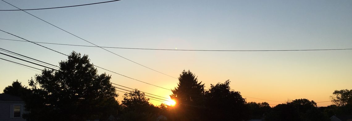
Pleasantly mild day today! Cool on the weekend with rain likely on Saturday!


We have mostly clear skies this morning and temperatures have fallen into the upper 50s in the Clifton area, humidity has dropped with dew points in the low 50s and there is a northerly breeze.

Yesterday we had only a few drops of rain as the cold front came through dry last night.

Today we will have plenty of sunshine and it will pleasantly warm with highs in the upper 70s along with lower humidity.

A disturbance moving in from the west on Saturday will likely cause some light rain mostly tomorrow afternoon and evening.

Sunshine will return on Sunday along with cool temperatures.

After another nice and cool day on Monday the chances of rain return on Tuesday as another disturbance move through the area.

Dry and cool weather Wednesday and Thursday.


THE FORECAST:

TODAY – Sunny, high in the upper 70s.

TONIGHT – Increasing cloudiness, low in the mid 50s.

SATURDAY – Mostly cloudy with light rain likely mainly between 3-7pm, high in the low 70s.

SUNDAY – Mostly sunny, high in the low 70s.

MONDAY – Partly sunny, high in the mid 70s.

TUESDAY – Mostly cloudy with a chance of showers, high in the low 70s.

WEDNESDAY – Mostly sunny, high in the mid 70s.

THURSDAY – Mostly sunny, high in the mid 70s.


MARINE FORECAST:  TODAY – North-northeast winds to 16 knots diminishing this afternoon, seas 3 feet.

OUTLOOK – Sub-advisory  level conditions expected through early next week.


Have a good day!

A warm and humid Thursday with some showers!


At daybreak this morning we have cloudy skies along with a few drops of rain as an area of showers to our north are moving through, temperatures are in the mid 60s and the humidity is on the high side.

Today will be a warm and humid day with considerable cloudiness, a cold front will be approaching from the west which will cause shower and thunderstorm activity this afternoon and evening, some of these storms may be accompanied by some heavy downpours.

Clearing late tonight as high pressure builds into our area and Friday will be a very pleasant day with cooler temperatures and much less humidity along with plenty of sunshine.

The weekend will be cool and there is a chance of rain on Saturday followed by sunny weather on Sunday.

Seasonable temperatures early next week with highs in the 70s, there is a chance of light rain on Tuesday while Monday and Wednesday should be dry.


THE FORECAST:

TODAY – Mostly cloudy with showers and thunderstorms developing, humid, high in the mid 80s.

TONIGHT – Cloudy this evening with showers and thunderstorms till around midnight then gradual clearing, low in the low 60s.

FRIDAY – Sunny and less humid, high in the upper 70s.

SATURDAY – Mostly cloudy with a chance of light rain, high in the low 70s.

SUNDAY – Mostly sunny, high in the low-mid 70s.

MONDAY – Mostly sunny, high in the mid 70s.

TUESDAY – Partly sunny with a chance of light rain, high in the mid 70s.

WEDNESDAY – Sunny, high in the mid 70s.


MARINE FORECAST:  Small craft advisory in effect from 10am this morning till 6am on Friday for Southwest wind becoming northwest late tonight gusting to 25 knots, seas 4-5 feet.

OUTLOOK – Sub-advisory level conditions expected from late Friday through the weekend.


Let us never forget 9/11/2001!

More sunshine today and a little warmer! Quite warm and humid on Thursday!


Skies are mostly cloudy to cloudy at daybreak this morning and temperatures are near 60 degrees in the Clifton area to the 50s further inland, winds are light and the humidity is low.

Clouds will break this morning permitting more sunshine than yesterday, temperatures will rise about five degrees higher than yesterday topping off to near the 80 degree mark.

Warmer and more humid on Thursday ahead of a cold front, this front will cause some thunderstorm activity on Thursday evening.

Cooler and less humid on Friday with mostly fair conditions.

The weekend will be cool and there is a chance of light rain on Saturday.

Cool weather will continue early next week with another chance of rain next Tuesday.


THE FORECAST:

TODAY – Becoming partly sunny, high near 80.

TONIGHT – Mostly cloudy, low in the mid 60s.

THURSDAY – Mostly cloudy and humid with a chance of showers and thunderstorms in the afternoon and at night, some rain may be heavy, high in the upper 80s.

FRIDAY – Sunny, high in the upper 70s.

SATURDAY – Mostly cloudy with a chance of light rain in the afternoon and evening, high in the low 70s.

SUNDAY – Mostly sunny, high in the low 70s.

MONDAY – Mostly sunny, high in the low 70s.

TUESDAY – Partly sunny with a chance of showers, high in the low 70s.


MARINE FORECAST:  Small craft advisory in effect till midnight tonight for northeast wind gusts to 30 knots, seas 5-8 feet.

OUTLOOK – Below advisory level conditions on Thursday with a brief period of advisory conditions Thursday night into Friday morning. Below advisory level condtions expected later Friday into Saturday morning with near advisory level conditions again Saturday afternoon into Sunday.


Have a good day!


Lots of clouds but little or no rain today and Wednesday!


At daybreak this morning skies are partly to mostly cloudy, temperatures have fallen into the upper 50s, humidity remains low and there is a northeast breeze.

Today we will have considerable cloudiness and we should remain dry as a weak low pressure moves off the Mid-Atlantic coast, temperature and humidity will similar to yesterday with highs in the mid 70s.

We should start out cloudy on Wednesday but then we see some sunshine and near normal temperatures.

A warm day on Thursday along with higher humidity as a southerly flow develops ahead of a cold front approaching from the west.  This front will likely cause some shower and thunderstorm activity mainly Thursday night into early Friday morning.

Behind the front, cooler and much drier air will be over the area on Friday.

This upcoming weekend will be cool with a low chance of some showers on Saturday.


THE FORECAST:

TODAY – Mostly cloudy, high in the mid 70s.

TONIGHT – Cloudy, low around 60.

WEDNESDAY – Cloudy in the morning then becoming mostly sunny, high in the upper 70s.

THURSDAY – Mostly cloudy, warmer and more humid, high in the mid 80s,  showers and thunderstorms likely at night.

FRIDAY – Becoming mostly sunny, high in the upper 70s.

SATURDAY – Partly sunny with a chance of showers, high in the low 70s.

SUNDAY – Partly sunny, high in the low 70s.

MONDAY – Partly sunny, high in the low 70s.


MARINE FORECAST:  Small craft advisory in effect until noon on Wednesday for northeast winds up to 30 knots, seas 5-8 feet.

OUTLOOK –  Advisories may still be needed Wednesday afternoon into the night, sub-advisory level conditions Thursday through Saturday.


Have a good day!

Pleasant weather to start the work week!


We have mostly clear skies at daybreak this morning with temperatures ranging from around 60 degrees in the Clifton area to the 50s further inland, humidity is low and there is a light northeast breeze.

High pressure over New England will give us a pleasant day with low humidity, some cloudiness may occur especially to our south as a weak disturbance off the coast moves slowly north, temperatures will be near normal.

More clouds on Tuesday with a chance of a light shower at night as the disturbance offshore comes a little closer, temperatures will continue to be near or slightly below normal.

Dry on Wednesday with near normal temperatures along with more sunshine.

A cold front will cross the area on Thursday which will cause some shower and thunderstorm activity,  this will be  the warmest day of the week with temperatures rising into the 80s.

Still a risk of a light shower on Friday with temperatures returning to near normal.

At this point next weekend looks dry with cool temperatures.


THE FORECAST:

TODAY – Partly sunny, high in the upper 70s.

TONIGHT – Mostly cloudy, low in the upper 50s.

TUESDAY – Mostly cloudy, high in the mid 70s, chance of a light shower at night.

WEDNESDAY – Mostly cloudy, high in the upper 70s.

THURSDAY – Mostly cloudy with a chance of showers and thunderstorms, more humid, highs in the mid 80s.

FRIDAY – Partly sunny, chance of a shower, high in the upper 70s.

SATURDAY – Partly sunny, high in the low 70s.

SUNDAY – Mostly sunny, high in the low 70s.


MARINE FORECAST:   Small craft advisory in effect from noon today till 6pm on Tuesday for east winds gusting to 30 knots, seas 5-8 feet.

OUTLOOK – Advisories possible on Wednesday then sub-advisory level conditions expected Thursday and Friday.


Have a good day!