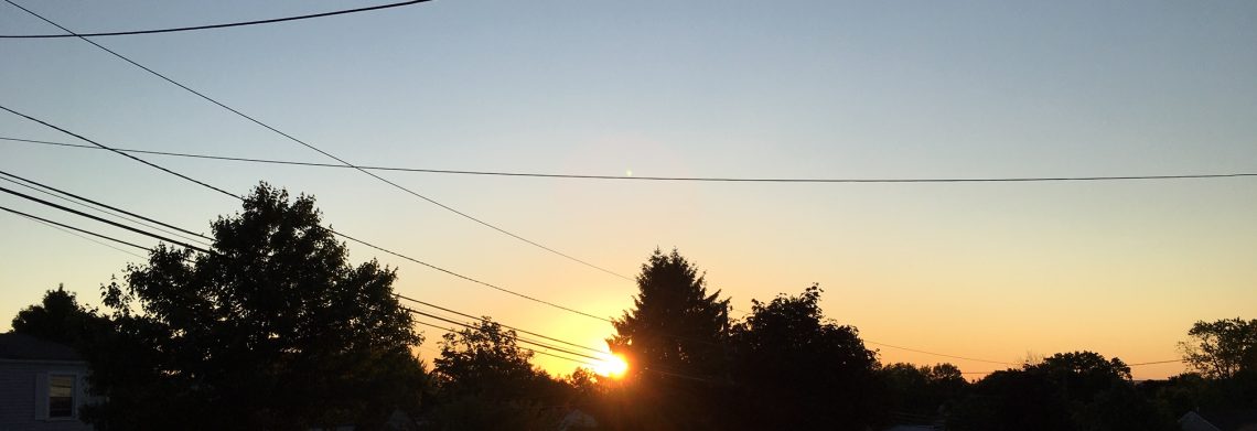
Pleasantly warm and much less humid air to end the weekend!


At daybreak this morning we have partly cloudy skies, temperatures have fallen to the low 60s, winds are light.

A refreshing cold front came through overnight accompanied by some thundershower activity, here in Clifton I only recorded .08 inches of rain but some areas especially across Eastern Pennsylvania and Central and Southern New Jersey received much more.

We will have clearing today and temperatures will be more normal for the beginning of September reaching the low 80s along with much less humidity as dew points fall into the 50s.  Tonight will be clear and pleasantly cool with lows mostly in the 50s.

Monday will be a dry and comfortable day and with an onshore flow will keep highs mostly in the 70s.

A small low pressure over Georgia this morning is expected to slowly move up the coast and brush our area on Tuesday, some heavy rain is likely well offshore with our area only having a low chance of some light rain.

Dry and pleasant on Wednesday.

Somewhat warmer Thursday and Friday with a chance of showers as another cold front moves through.

Cool and dry weather expected next weekend.


THE FORECAST:

TODAY – Mostly cloudy early this morning then becoming sunny, much less humid, highs in the low 80s.

TONIGHT – Mostly clear, low in the upper 50s.

MONDAY – Partly sunny, high in the upper 70s.

TUESDAY – Cloudy with a chance of rain, high in the mid 70s.

WEDNESDAY – Partly sunny, high in the upper 70s.

THURSDAY – Mostly cloudy with a chance of showers, high in the low 80s.

FRIDAY – Partly sunny with a chance of showers, high in the low 80s.

SATURDAY – Mostly sunny, high in the mid 70s.


MARINE FORECAST:  TODAY – North-northeast wind to 14 knots, seas 2 feet.

OUTLOOK:   Small craft advisory will be in effect from 6am Monday till 6am on Tuesday.  Advisories possibly to extend into Wednesday for high seas.


Have a good day!

One more hot and humid day! Strong thunderstorms possible this afternoon and evening!


It is a very warm and muggy start to the day as daybreak temperatures are in the 70s along with very high humidity.

The heat and humidity will continue today and with enough sunshine temperatures could reach into the low and mid 90s and with dew points in the 70s it will be a very uncomfortable and oppressive day, good chance though that this will be the last 90 degree day of the year.

A cold front will be approaching later today and showers and thunderstorms will move into the area later this afternoon and continue into the evening, some storms may be accompanied by strong gusty winds and very heavy rain.

This cold front will cross the area tonight with cooler and much less humid weather on Sunday and along with plenty of sunshine it will be a very pleasant day.

Most of Monday will be dry but a small low pressure is expected to form off the South Carolina coast and move north giving us some rain on Tuesday.

We should dry out a bit on Wednesday but another cold front may cause some more shower and thunderstorm activity on Thursday.

Dry and seasonably warm temperatures for Friday with low humidity.


THE FORECAST:

TODAY – Mostly cloudy with showers and thunderstorms mainly after 2 pm, some of these storms may be accompanied by strong gusty winds and very heavy rain, very humid, high in the low 90s.

TONIGHT – Showers and thunderstorms mainly before 1 am, some storms by be accompanied by strong gusty winds and very heavy rain, low in the low 60s.

SUNDAY – Mostly sunny and much less humid, high in the low 80s.

MONDAY – Mostly sunny, high in the upper 70s, chance of rain after midnight.

TUESDAY – Mostly cloudy with a chance of rain, high in the mid 70s.

WEDNESDAY – Partly sunny with a chance of showers, high near 80.

THURSDAY – Partly sunny with a chance of showers and thunderstorms, high in the low 80s.

FRIDAY – Partly sunny, high in the low 80s.


MARINE FORECAST:  TODAY – Southwest wind to 13 knots, seas 2 feet.

OUTLOOK – Small craft advisories likely Monday through Wednesday morning.


Have a good day!


Very warm and humid today and Saturday with thunderstorms likely to start the weekend!


Skies are mostly clear at daybreak with the temperatures mainly in the middle 60s, the humidity is higher than the last couple of mornings as dew points are in the 60s.

Today will be a mostly sunny day with very warm temperatures and increasing humidity as dew points rise to near 70 by this afternoon.

Saturday a cold front will be approaching from the west, very warm and humid ahead of the front, showers and thunderstorms will likely develop, some of these storms may be accompanied by strong gusty winds and heavy rain.

The front will pass east of the region Saturday night and Sunday will be mostly sunny, not as warm and much less humid.

Mostly sunny with seasonable temperatures on Monday.

Increasing clouds Tuesday through Thursday along with a chance of showers each day, temperatures will remain near normal for this time of year.


THE FORECAST:

TODAY – Mostly sunny and more humid, high in the upper 80s.

TONIGHT – Partly cloudy and humid with some patchy fog, low around 70.

SATURDAY – Mostly cloudy with showers and thunderstorms likely, some storms may be accompanied by strong gusty winds and heavy rain, humid with a high near 90.

SUNDAY – Mostly sunny and less humid, high near 80.

MONDAY – Partly sunny, high in the upper 70s.

TUESDAY – Mostly cloudy with a chance of showers, high in the upper 70s.

WEDNESDAY – Mostly cloudy with a chance of showers, high near 80.

THURSDAY – Mostly cloudy with a chance of showers, high in the low 80s.


MARINE FORECAST:  TODAY –  South winds to 11 knots, seas 1 foot.

OUTLOOK – Sub advisory level conditions expected over the weekend with advisories possible for high seas Monday and Tuesday.


Have a good day!

Quite warm today through Saturday!


Skies are mostly clear at daybreak this morning with temperatures ranging from the low 60s in the Clifton area to the mid 50s in the normally cooler inland areas, winds are light and the humidity is low.

Today we will have a warm day with temperatures reaching the upper 80s, skies will be mostly sunny and the humidity will be on the low side.

Friday will remain quite warm with increasing humidity by the afternoon along with mostly sunny skies.

A cold front will be crossing the area on Saturday likely causing shower and thunderstorm activity, it will be quite warm and humid and if we have some breaks in the clouds temperatures may exceed the 90 degree mark.

Much cooler and less humid on Sunday with clearing conditions.

More typical September weather most of next week with most highs in the 70s and we should stay dry till at least Tuesday.


THE FORECAST:

TODAY – Sunny, high in the upper 80s.

TONIGHT – Mostly clear, low in the upper 60s.

FRIDAY – Mostly sunny, becoming more humid, high in the upper 80s.

SATURDAY – Mostly cloudy with showers and thunderstorms likely, humid, high in the upper 80s.

SUNDAY – Mostly sunny and less humid, high near 80.

MONDAY – Mostly sunny, high in the upper 70s.

TUESDAY – Mostly sunny, high in the upper 70s.

WEDNESDAY – Partly sunny, high in the upper 70s.


MARINE FORECAST:  TODAY – South wind to 8 knots seas 1 foot.

OUTLOOK – Sub-advisory level conditions through early next week.


Have a good day!

Quite warm but will much lower humidity this Wednesday!


Skies are mostly clear at daybreak this morning and temperatures are in the 60s, humidity is lower and the winds are light.

A cold front came through the area overnight bringing in a northwest flow of less humid air, today will be quite warm with temperatures approaching 90 but the humidity will be much lower as dew points drop to the 50s.

Fair weather Thursday and Friday along with continued quite warm temperatures, humidity levels will increase again with dew points reaching 70 by Friday.

Another cold front will cross the area on Saturday with some shower and thunderstorm activity.

Some lingering shower activity is possible Sunday morning followed by clearing, cooler and much less humid air.

Dry weather early next week with more normal September temperatures as highs should only reach the upper 70s along with comfortable humidity.


THE FORECAST:

TODAY – Sunny and less humid, high in the upper 80s.

TONIGHT – Clear, low in the low 60s.

THURSDAY – Sunny, high in the upper 80s.

FRIDAY – Sunny, becoming more humid, high near 90.

SATURDAY – Partly sunny with a chance of showers and thunderstorms, high near 90.

SUNDAY – Chance of morning showers then becoming partly sunny, cooler and less humid, high near 80.

MONDAY – Mostly sunny, high in the upper 70s.

TUESDAY – Mostly sunny, high in the upper 70s.


MARINE FORECAST:  TODAY – Northwest winds to 11 knots, seas 2 feet.

OUTLOOK – Sub advisory level conditions through the weekend.


Have a good day!