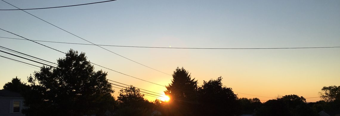
Another nice day today then rain Tuesday into Wednesday!


We have clear skies at daybreak this morning and temperatures are a couple of degrees higher than yesterday ranging from the mid 60s in the Clifton area to some upper 50s in the far suburbs, winds are nearly calm.

Today we will once again have plenty of sunshine, humidity although somewhat higher than on the weekend will still be comfortable for this time of year, winds will be light.

A storm system will be moving into the area on Tuesday with a chance of rain in the morning becoming more likely in the afternoon and at night, some thunderstorms may be accompanied by heavy rain.

Rain heavy at times Wednesday morning tapering off to showers in the afternoon,  total rain amounts from this storm will range from 1 1/2 inches to 3 inches.

Pleasant weather Thursday through next weekend with plenty of sunshine, temperatures will start off below normal and reach normal levels by Sunday.


THE FORECAST:

TODAY – Sunny, high in the mid 80s.

TONIGHT – Mostly clear, low in the upper 60s.

TUESDAY – Cloudy with a chance of showers in the morning with showers and thunderstorms more likely after 4pm into Tuesday night, some rain may be heavy at times, high in the upper 70s.

WEDNESDAY – Showers and thunderstorms likely in the morning with some heavy rain possible then a chance of showers in the afternoon, high in the low 80s.

THURSDAY – Sunny, high near 80.

FRIDAY – Mostly sunny, high near 80.

SATURDAY – Mostly sunny, high near 80.

SUNDAY – Mostly sunny, high in the low 80s.


MARINE FORECAST:  TODAY – South-southeast winds to 12 knots, seas 1 foot.

OUTLOOK – Advisories possible Tuesday afternoon into Wednesday with below advisory level conditions expected Wednesday night through Friday.


Have a great day!

Continued great weather today and Monday! Significant rainfall likely Tuesday and Wednesday!


Another clear start to this morning with temperatures ranging from the low 60s in the Clifton area to the 50s further inland, humidity remains low and the winds are light.

If you enjoyed Saturday’s weather you will like today’s as temperature and humidity levels will be similar along with abundant sunshine.

This nice weather will extend into Monday with a slow increase of humidity by evening.

A storm system is expected to bring rain from around noon on Tuesday through most of Wednesday with an inch or two of precipitation possible, with the clouds and winds off the ocean daytime highs will be lower.

It appears that dry and pleasant weather will occur Thursday into the start of next weekend, temperatures will start off below normal and rise to near normal levels by Saturday.


THE FORECAST:

TODAY – Sunny, high in the upper 80s.

TONIGHT – Mostly clear, low in the low 60s.

MONDAY – Sunny, high in the upper 80s.

TUESDAY – Mostly cloudy with a chance of showers, high near 80.

WEDNESDAY – Cloudy with showers likely with a chance of a thunderstorm, heavy rain possible, high near 80.

THURSDAY – Mostly sunny, high in the upper 70s.

FRIDAY – Mostly sunny, high near 80.

SATURDAY – Mostly sunny, high in the low 80s.


MARINE FORECAST:  TODAY –  East-southeast wind to 11 knots, seas 1 foot.

OUTLOOK – Small craft advisories likely Tuesday through Thursday.


Have a good day!

Another beautiful summer weekend!


We have clear skies at daybreak this morning and temperatures range from the low 60s in the Clifton area to the 50s further inland, humidity is low and the winds are light.

Both today and Sunday will feature plenty of sunshine and continued low humidity, temperatures will be warm reaching the upper 80s both days, perfect for most outside festivities.

This nice weather will continue on Monday with only a slight increase in humidity.

A frontal system approaching from the west should give us some rain from Tuesday night into Wednesday with an inch or two amounts possible.

Pleasant weather will return for the end of the week with seasonably cool temperatures and low humidity.


THE FORECAST:

TODAY – Sunny, high in the upper 80s.

TONIGHT – Mostly clear, low in the low 60s.

SUNDAY – Sunny, high in the upper 80s.

MONDAY – Sunny, high in the upper 80s.

TUESDAY – Mostly cloudy with a chance of afternoon showers, high in the low 80s.  Showers and thunderstorms more likely at night.

WEDNESDAY – Mostly cloudy with showers and thunderstorms likely, high in the low 80s.

THURSDAY – Mostly sunny, high near 80.

FRIDAY – Mostly sunny, high near 80.


MARINE FORECAST:  TODAY – North west winds to 9 knots, seas 1-2 feet.

OUTLOOK – Sub-advisory levels through Monday with advisories possible on Tuesday and Wednesday.


Have a good day!

Gorgeous weather to continue through the weekend!


Skies are partly cloudy at dawn this morning and we have cool temperatures once again with readings near 60 here in Clifton ranging to some 40s well inland, winds are light.

Today will be another perfect weather day with plenty of sunshine, low humidity and temperatures reaching into the middle 80s.

This nice weather will continue into the weekend with cool nights and warm days along with rather low humidity.

Monday will be more of the same but with slightly higher humidity.

The next chance of rain will be Tuesday night into Wednesday as a cold front approaches the area.

High pressure will again build into the area on Thursday with a return to dry and comfortable weather.


THE FORECAST:

TODAY – Sunny, high in the mid 80s.

TONIGHT – Mostly cloudy, low in the low 60s.

SATURDAY – Sunny, high in the mid 80s.

SUNDAY – Sunny, high in the mid 80s.

MONDAY – Mostly sunny, high in the mid 80s.

TUESDAY – Partly sunny, high in the low 80s, chance of showers at night.

WEDNESDAY – Mostly cloudy with a chance of showers and thunderstorms, high in the low 80s.

THURSDAY – Mostly sunny, high in the low 80s.


MARINE FORECAST:  TODAY – North-northwest winds to 10 knots, seas 2 feet.

OUTLOOK – Sub-advisory level conditions over the weekend with advisories possible for high seas on Monday and Tuesday.


Have a good day!

Nearly perfect weather through the weekend!


We have clear skies at daybreak this morning with cooler temperatures than the last few mornings ranging from around 60 in the Clifton area to the 50s further inland.

Yesterday no rain fell in the Clifton area but late yesterday afternoon a small but powerful thunderstorm crossed through Ulster County causing wind damage along with hail.  Hey Curt, how was it up by you in Highland?

Today through the weekend will feature as perfect weather as you can get with plenty of sunshine with warm daytime temperatures and cool and comfortable nights, humidity will be nice and low with dew points only in the 50s.

The next chance of showers will be around Tuesday, humidity may climb a bit but not be oppressive.

Still no signs of any extended periods of heat through the third week of August.


THE FORECAST:

TODAY – Mostly sunny, high in the mid 80s.

TONIGHT – Mostly clear, low around 60.

FRIDAY – Sunny, high in the mid 80s.

SATURDAY – Sunny, high in the mid 80s.

SUNDAY – Sunny, high in the mid 80s.

MONDAY – Mostly sunny, high in the low 80s.

TUESDAY – Mostly cloudy with a chance of showers, high around 80.

WEDNESDAY – Partly sunny, high in the low 80s.


MARINE FORECAST:  TODAY – North-northwest winds to 10 knots, seas 2 feet.

OUTLOOK – Sub-advisory level conditions Friday through Monday morning with advisories possible later Monday for higher seas.


Have a  good day!