Dry and seasonably warm Saturday; More humid on Sunday with chance of afternoon and evening thunderstorms!


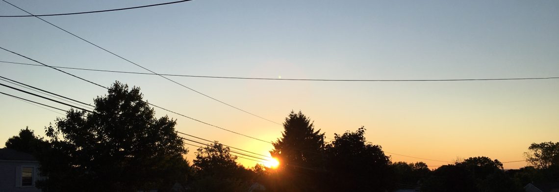
Skies are mostly clear at daybreak this morning, temperatures are mainly in the mid 60s, winds are calm.

Today will be a rather typical summer day with seasonably warm temperatures, humidity levels will be a little higher than yesterday and we should enjoy mostly sunny skies.

More humid on Sunday and there will be a chance of showers and thunderstorms developing in the afternoon and with a continued chance of thunderstorms at night, skies will be mostly cloudy.

Monday and Tuesday will be continued humid with showers and thunderstorms likely, some storms may be strong to severe along with heavy downpours.

A cold front should move to our east by Wednesday morning bringing in cooler and less humid air along with less cloudiness.

Dry and comfortable Thursday and Friday with temperatures a bit below normal.


THE FORECAST:

TODAY – Mostly sunny, high in the mid 80s.

TONIGHT – Partly cloudy, low in the upper 60s.

SUNDAY – Mostly cloudy and becoming more humid, chance of showers and thunderstorms in the afternoon and at night, high in the upper 80s.

MONDAY – Mostly cloudy with showers and thunderstorms likely, some of the storms may be accompanied by strong gusty winds and heavy rain, humid, high in the upper 80s.

TUESDAY – Mostly cloudy with a chance of showers and thunderstorms, some storms may be heavy, humid, high in the mid 80s.

WEDNESDAY – Becoming partly sunny and less humid, high in the low 80s.

THURSDAY – Mostly sunny, high in the low 80s.

FRIDAY – Mostly sunny, high in the low 80s.


MARINE FORECAST:  TODAY – South-southeast wind to 8 knots, seas 1 foot.

OUTLOOK – Advisories possible Monday and Tuesday.


Have a good day!

Nice summer weather today and Saturday; Rain chances increase Sunday afternoon through Wednesday!


Skies at daybreak this morning are in the upper 60s in the Clifton area, skies are partly cloudy, humidity is lower and there is a nice breeze.

Yesterday evening more than 2 inches of rain was recorded in the Morristown area but the showers weakened by the time they reached Clifton and I only recorded .03 of an inch of precipitation.

Today and Saturday will be pleasantly warm days with plenty of sunshine and low humidity and we should be rainfree across the area.

On Sunday expect  more humidity along with chances of showers developing by the afternoon.

Showers and thunderstorms are likely Monday through Wednesday morning, some of the storms may be strong to severe along with very heavy rainfall.

Cooler and less humid on Thursday.


THE FORECAST:

TODAY – Mostly sunny, high in the mid 80s.

TONIGHT – Mostly clear, low in the mid 80s.

SATURDAY – Sunny, high in the mid 80s.

SUNDAY – Partly sunny, more humid, chance of afternoon and evening showers and thunderstorms, high in the upper 80s.

MONDAY – Mostly cloudy and humid with a chance of showers and thunderstorms, high near 90.

TUESDAY – Mostly cloudy with showers and thunderstorms likely, humid, high in the mid 80s.

WEDNESDAY – Chance of morning showers and thunderstorms then becoming partly sunny and less humid in the afternoon, high in the low 80s.

THURSDAY – Partly sunny, high in the low 80s.


MARINE FORECAST:  TODAY – East-northeast wind to 9 knots, seas 2 feet.

OUTLOOK – Sub-advisory level conditions expected through early next week.


Have a good day!


Pleasantly warm today through the start of the weekend!


At daybreak today skies are partly cloudy and temperatures are in the upper 60s in the Clifton area.

A cold front will drop further to our south today as high pressure builds in behind it and we should enjoy a seasonable warm day with plenty of sunshine and lower humidity.  There is a very slight chance of an afternoon shower inland but most places will remain dry.

Dry with plenty of sunshine both Friday and Saturday and the temperatures will continue to be seasonably warm with highs in the mid 80s.

Somewhat more humid on Sunday with shower chances increasing in the afternoon and at night.

As we head into next week we should see an increase of shower activity, some of these storms may be quite strong.

Cooler and less humid on Wednesday.


THE FORECAST:

TODAY – Mostly sunny, high in the mid 80s.

TONIGHT – Mostly cloudy, low in the mid 60s.

FRIDAY – Mostly sunny, high in the mid 80s.

SATURDAY – Sunny, high in the mid 80s.

SUNDAY – Partly sunny with a chance of afternoon and evening showers and thunderstorms, high in the mid 80s.

MONDAY – Partly sunny with a chance of showers and thunderstorms, high in the mid 80s.

TUESDAY – Partly sunny with a chance of showers and thunderstorms, high in the upper 80s.

WEDNESDAY – Mostly sunny, high in the low 80s.


MARINE FORECAST:  TODAY – Northeast wind to 9 knots, seas 2 feet.

OUTLOOK – Below advisory level conditions expected through the weekend.


Have a good day!


A little cooler and less humid today with only a slight chance of thunderstorms!


Skies are mostly clear at daybreak this morning with the temperatures in the Clifton area are in the upper 60s.

Last night’s line of severe thunderstorms split around our area as no rain fell but we did have strong gusty winds to over 40 mph in parts of the area causing some trees to come down.

Today will be a little cooler and less humid, temperatures still may approach the 90 degree mark.  There is only a slight chance of an afternoon or evening thunderstorm.

Dry weather with seasonably warm temperatures Thursday through Saturday as high pressure moves into the area.

Chances of thunderstorms increase Sunday afternoon through Tuesday with the best chance of strong storms on Monday, temperatures will continue to be seasonably warm with only a slight rise of humidity.


THE FORECAST:

TODAY – Mostly sunny, high near 90.

TONIGHT – Partly cloudy with a chance of an evening shower or thunderstorm, low in the upper 60s.

THURSDAY – Mostly sunny, high in the mid 80s.

FRIDAY – Mostly sunny, high in the mid 80s.

SATURDAY – Mostly sunny, high again in the mid 80s.

SUNDAY – Partly sunny with a chance of afternoon and evening showers and thunderstorms, high in the mid 80s.

MONDAY – Partly sunny with a chance of showers and thunderstorms, high in the mid 80s.

TUESDAY – Partly sunny with a chance of showers and thunderstorms, high in the mid 80s.


MARINE FORECAST:  TODAY – Small craft advisory in effect till 2pm today for southwest winds to 30 knots, seas 3-6 feet, winds and seas diminishing by later this afternoon.

OUTLOOK – Sub-advisory level conditions expected through the weekend.


Have a good day!

Another hot day with thunderstorms likely late in the day and tonight!


At daybreak today we have mostly clear skies with temperatures around the 70 degree mark in Clifton to the 60s further inland, winds are light and it is rather humid.

We had a thunderstorm overnight shortly after midnight that gave us around 1/4 inch of rain.

Hot weather again today with most temperatures reaching the low to mid 90s, it will be rather humid but not too oppressive.  Thunderstorms are likely to develop later this afternoon and evening, some of these storms may be strong with gusty winds, heavy rain and even some small hail.

Not quite as hot on Wednesday as a cold front swings through the area, some thunderstorms are possible with this front.

Cooler and less humid air will move in for Thursday and Friday along with dry conditions.

Seasonably warm with comfortable humidity over the weekend, most of time it will be dry but there will be a chance of showers and thunderstorms late in the day on Sunday so our streak of rainfree weekends may be coming to an end.

As we head into next week it appears that temperatures will be seasonable with no signs of any heat waves in our area.


THE FORECAST:

TODAY – Mostly sunny with a chance of late afternoon thunderstorms, some storms may be heavy with gusty winds, heavy rain and small hail, high in the low-mid 90s.

TONIGHT – Mostly cloudy with showers and thunderstorms likely, some storms may be strong with gusty winds, heavy rain and small hail, low in the low 70s.

WEDNESDAY – Partly sunny with a chance of showers and thunderstorms, high near 90.

THURSDAY – Mostly sunny, cooler and less humid, high in the mid 80s.

FRIDAY – Mostly sunny, high in the mid 80s.

SATURDAY – Mostly sunny, high in the mid 80s.

SUNDAY – Partly sunny, chance of afternoon showers and thunderstorms, high in the mid 80s.

MONDAY – Partly sunny with a chance of showers and thunderstorms, high in the upper 80s.


MARINE FORECAST:  Small craft advisory will be in effect from 2pm today till 2pm on Wednesday for south-southwest winds gusting to 30 knots, seas 3-6 feet.

OUTLOOK –  Sub-advisory level conditions expected Thursday through Saturday.


Have a good day!