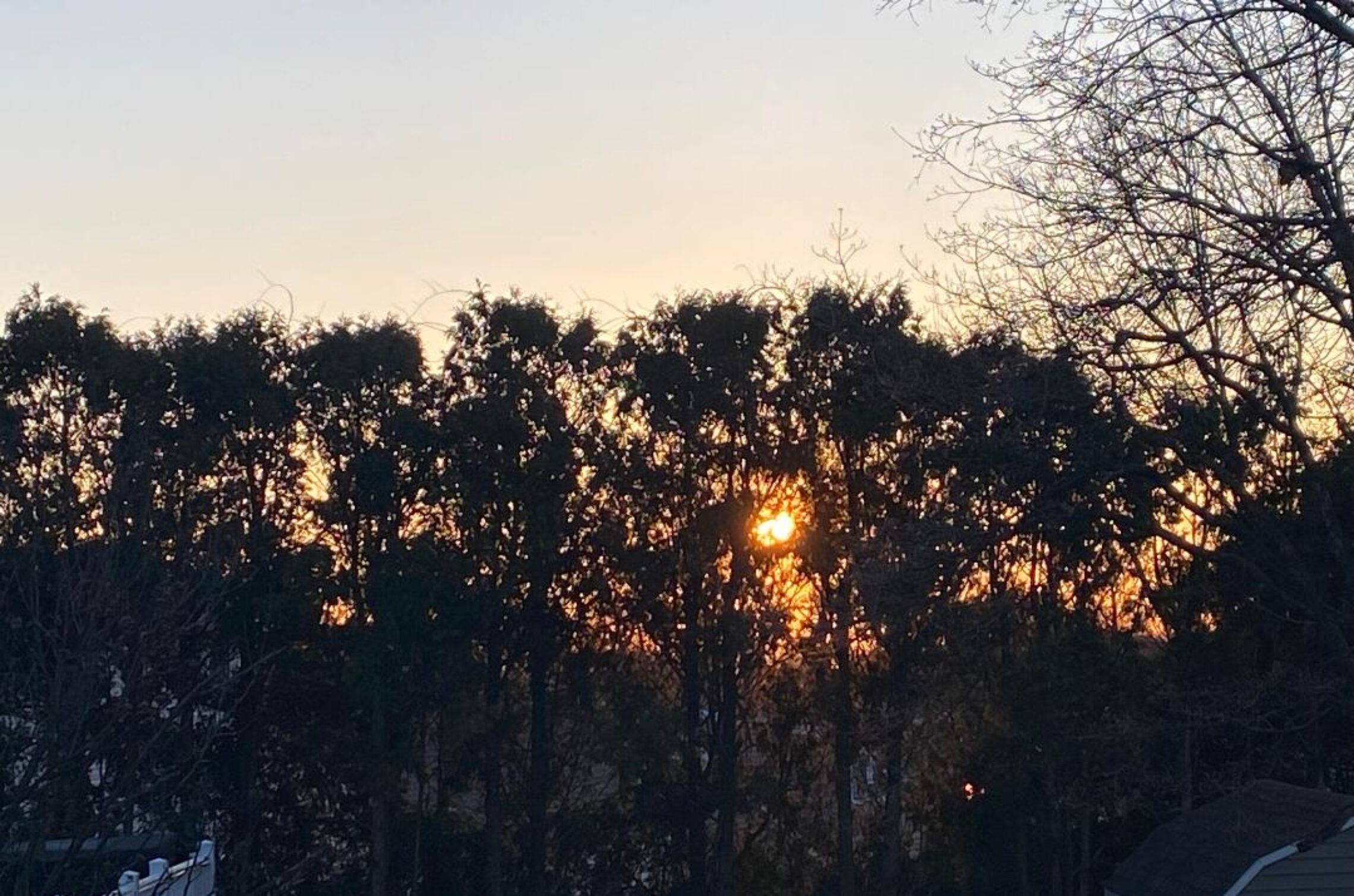
Good morning everyone!
Skies are mostly clear early on this Wednesday morning and early temperatures range from 36 in Clifton down to 25 at Walpack. Winds are calm or light northerly.
CLIFTON’S ALMANAC FOR MARCH 29TH:
AVERAGE HIGH: 54 AVERAGE LOW: 35
RECORD HIGH: 83 – 1985 RECORD LOW: 22 – 2015
YESTERDAY’S HIGH: 50 LOW: 40 PRECIPITATION: TRACE
High pressure building into our area will give us a mostly sunny day with near seasonable temperatures along with light winds.
A cold front will sweep through our area around midnight with a chance of brief showers that may be mixed with snow across the higher elevations well to our north and west.
Thursday will be a chilly day despite plenty of sunshine. Winds will be gusty in the morning but diminsh in the afternoon.
A stronger frontal system will cause an increase in clouds on Friday which will give us a chance of showers in the afternoon and evening but most of the steady rain will be after midnight as the warm front with this system moves to our north.
Saturday will have showers but it will be unseasonably mild with gusty southerly winds, highs will be near 70 degrees. A cold front will cross the area at night.
Cooler and breezy on Sunday with mostly sunny skies.
Milder and mainly dry early next week.
THE FORECAST:
TODAY – MAR 29 – Sunny, high in the mid 50s.
TONIGHT – Mostly cloudy with a chance of showers around midnight then clearing and breezy, low near 30.
THURSDAY – MAR 30 – Sunny, breezy and cool, highs in the upper 40s.
FRIDAY – MAR 31 – Increasing cloudiness with a chance of shower mainly after 2 p.m. highs in the upper 50s Rain developing at night.
SATURDAY – APR 1 – Breezy and very mild with showers, highs near 70.
SUNDAY – APR 2 – Sunny, breezy and cooler, highs in the low 50s.
MONDAY – APR 3 – Mostly sunny and milder, highs in the low 60s.
TUESDAY – APR 4 – Mostly sunny and quite mild, highs in the upper 60s.
MARINE FORECAST: TODAY – Variable winds less than 5 knots, seas 2 feet.
OUTLOOK: A small craft advisory has been posted effective between midnight tonight through 8 a.m. Friday morning; advisories expected to continue through Friday night; gales expected on Saturday; small craft advisories likely Sunday morning then no advisories Sunday afternoon through Monday afternoon; possible advisories for Monday night.
Have a nice day and stay safe!