Good morning everyone!
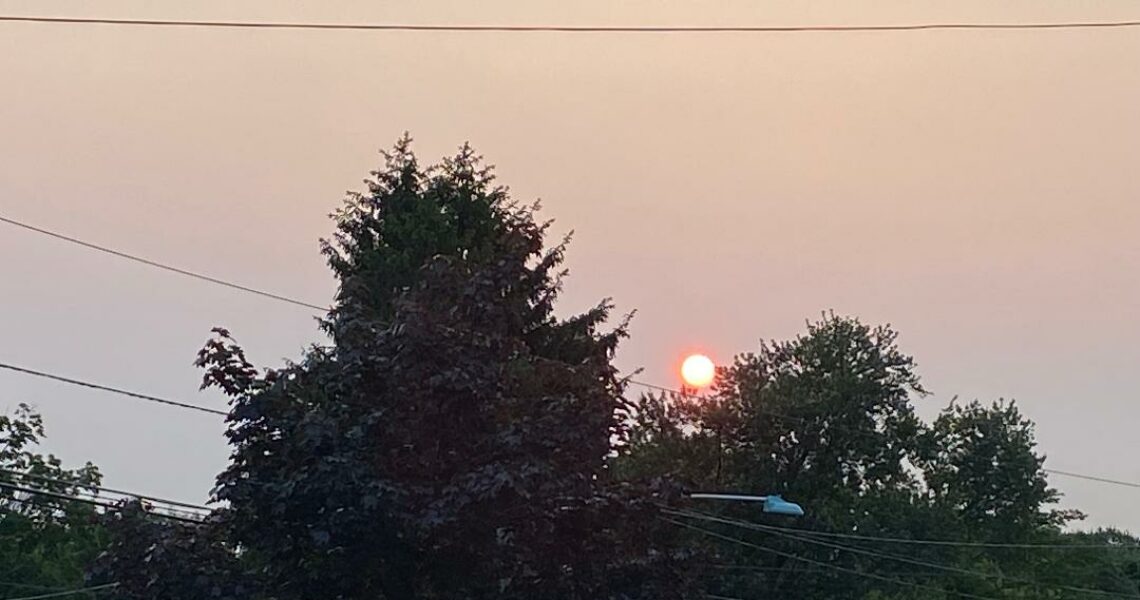
Skies are partly cloudy early on this Monday morning and once again it is unseasonably mild with readings ranging from 66 in Clifton down to 52 at Sandyston. Winds are calm or light northerly. The air quality is moderate with an index of 56.
CLIFTON’S ALMANAC FOR SEPTEMBER 29TH:
AVERAGE HIGH: 71 AVERAGE LOW: 52
RECORD HIGH: 82 – 2015 RECORD LOW: 37 – 2000
YESTERDAY’S HIGH: 88 (New Record) LOW: 63 PRECIPITATION: .01″
A weak cold front moved to our south this morning and we will have a partly sunny and not as warm day today, however temperatures will still be above normal with highs near 80.
Another stronger cold front will cross the area on Tuesday, skies will be mostly cloudy but there should be no rain. Temperatures will be warm again but become breezy and much less humid at night.
The coolest air of the season is likely Wednesday and Thursday as a Canadian high pressure builds from the north. It will be breezy as the pressure gradient between the high pressure and the tropical activity to our south. Less wind on Thursday as the high pressure builds closer to our area.
The high will move over us and then offshore giving us continued dry conditions along with a warming trend, Friday through the weekend.
THE FORECAST:
TODAY – SEP 29 – Partly sunny, highs near 80.
TONIGHT – Mostly cloudy, lows in the low 60s.
TUESDAY – SEP 30 – Mostly cloudy, highs in the low 80s. Becoming breezy at night.
WEDNESDAY – OCT 1 – Sunny, breezy and much cooler, highs near 70.
THURSDAY – OCT 2 – Sunny and cool, highs in the upper 60s.
FRIDAY – OCT 3 – Sunny, highs in the low 70s.
SATURDAY – OCT 4 – Sunny, highs near 80.
SUNDAY – OCT 5 – Sunny, highs in the low 80s
MARINE FORECAST: TODAY – Northeast winds to 10 knots, seas 2-3 feet.
OUTLOOK: A small craft advisory has been posted effective between 8 p.m. tonight through 6 p.m. Tuesday evening; A gale watch has been posted effective between 6 p.m. Tuesday evening through 6 p.m. Wednesday evening; advisories expected to continue on Thursday.
Have a nice day and stay safe!