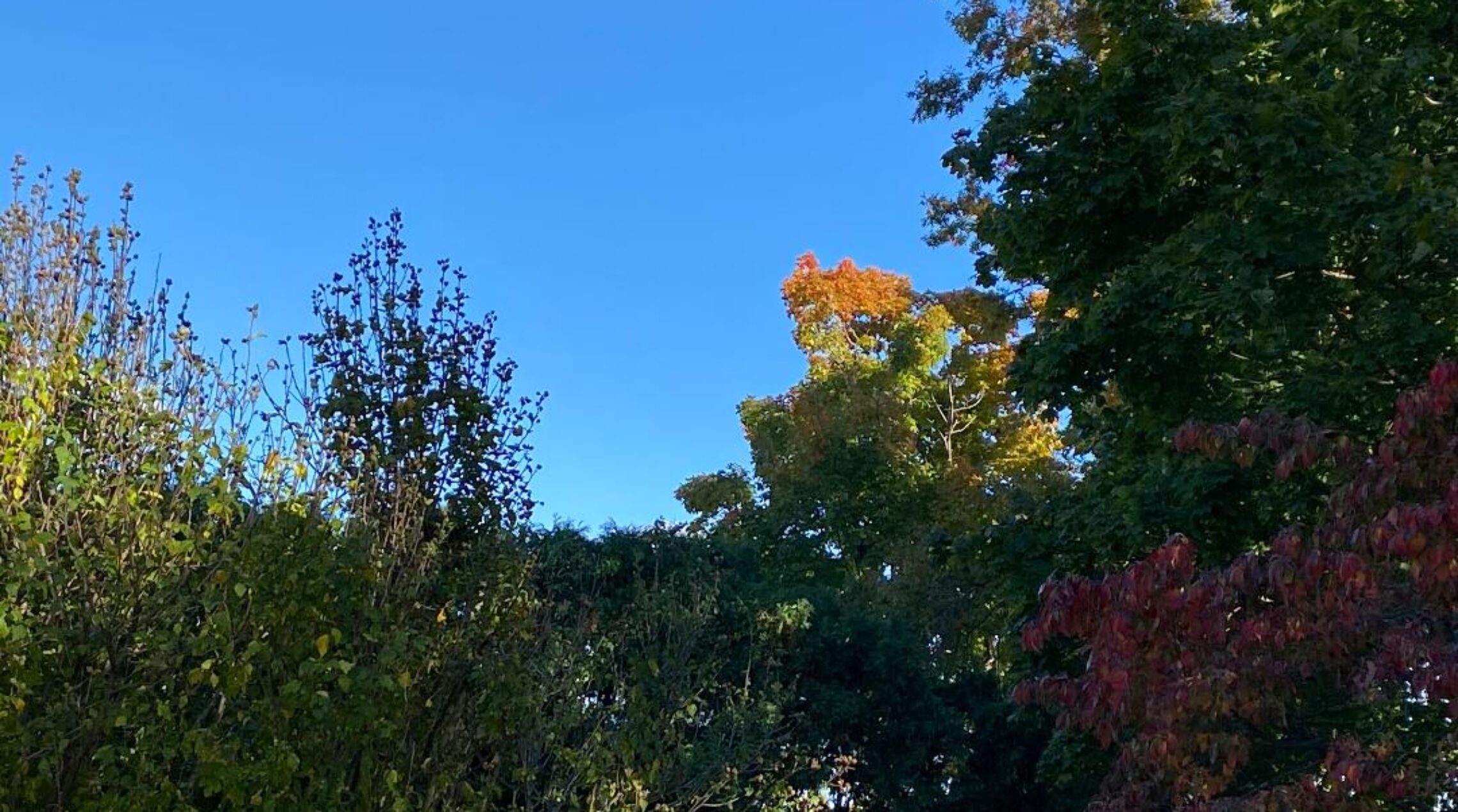
Cloudy and cool today and Friday with a low chance of light rain tonight into Friday morning! Dry and milder weather for the weekend!


Skies are mainly cloudy this Thursday morning and temperatures are mostly in the low 50s, winds are light.

Today will be cloudy and cool but we should stay dry, high will only reach the mid 60s, there is a chance of some very light rain tonight.

Still cloudy and cool on Friday, there is a slight chance of some light rain in the morning.

Warmer on Saturday with clearing skies and still dry with plenty of sunshine on Sunday with slightly cooler temperatures.

A frontal system will be in our area early next week with warm conditions along with a chance of showers and thunderstorms Monday and Tuesday.

Dry and warm on Wednesday.


THE FORECAST:

TODAY – Cloudy, high in the mid 60s.

TONIGHT – Cloudy with a chance of light rain, low in the mid 50s.

FRIDAY – Cloudy with a chance of light rain in the morning, high around 70.

SATURDAY – Mostly cloudy becoming mostly sunny by the afternoon, warmer with a high near 80.

SUNDAY – Mostly sunny, high in the low 70s.

MONDAY – Mostly cloudy with a chance of showers and thunderstorms, high near 80.

TUESDAY – Mostly cloudy with a chance of showers and thunderstorms, high in the low 80s.

WEDNESDAY – Mostly sunny, high in the low 80s.


MARINE FORECAST:  Small craft advisory is in effect till 6 a.m. on Friday for northeast wind gusting to 25 knots, seas 3-6 feet.

OUTLOOK – No advisories are expected later Friday through Sunday with small craft advisories expected on Monday.


Have a good day!


Sunshine returns today and not as chilly! Some showers possible Thursday night into Friday! Weekend looks good!


Skies are cloudy in the area early this Wednesday morning and temperatures range from the low 50s in Clifton to the upper 40s in the colder inland area, winds are light.

This morning we start off cloudy but sunshine will return by this afternoon and it will not be as chilly as the last few days as temperature will rise to the upper 60s which is still around ten degrees lower than normal.

Overcast conditions return on Thursday and there is a chance of some light showers at night, temperatures will continue to be below normal.

Somewhat milder on Friday with again a chance of some showers.

It now appears the weekend will be dry, Saturday will be warm with slightly lower temperatures on Sunday.

Milder early next week along with a chance of showers.

Looking further ahead it appears that warmer weather will return for most of next week into next weekend.


THE FORECAST:

TODAY – Cloudy then becoming mostly sunny, high in the upper 60s.

TONIGHT – Mostly cloudy, low in the mid 50s.

THURSDAY – Cloudy, high in the upper 60s, chance of light showers at night.

FRIDAY – Mostly cloudy with a chance of showers and thunderstorms, high in the low 70s.

SATURDAY – Partly sunny, high near 80.

SUNDAY – Mostly sunny, high in the low 70s.

MONDAY – Mostly cloudy with a chance of showers and thunderstorms, high in the upper 70s.

TUESDAY – Partly sunny with a chance of showers and thunderstorms, high in the mid 80s.


MARINE FORECAST:  Small craft advisory is in effect till 6 a.m. on Friday for east-northeast winds gusting to 30 knots, seas 3-6 feet.

OUTLOOK – Near advisory level conditions possible Friday through Sunday.


Have a good day!


Chilly and dreary weather to continue today with mainly just light rain and drizzle!


It is a chilly Tuesday morning as temperatures have fallen to the upper 40s in the Clifton area, skies are cloudy with some drizzle along with a northeast wind.

Today will continue to be quite chilly with periods of light rain or drizzle, high temperatures will only reach the 50s and with a rather brisk northeast wind it will feel even colder.

Improving weather on Wednesday and Thursday with sunshine returning, temperatures will be a little below normal.

Milder on Friday with a chance of showers at night.

Latest indications are showing that the weekend weather will not be a washout with only a low chance of showers on Saturday, temperatures will be near normal for early June.


THE FORECAST:

TODAY – Cloudy with showers and drizzle, quite cool with highs in the upper 50s.

TONIGHT – Mostly cloudy with a chance of showers till 8 p.m.   lows in the mid 50s.

WEDNESDAY – Mostly sunny, high in the upper 60s.

THURSDAY – Partly sunny, high in the upper 60s.

FRIDAY – Mostly cloudy, high in the mid 70s, chance of showers at night.

SATURDAY – Mostly cloudy with a chance of showers, high in the upper 70s.

SUNDAY – Partly sunny, high in the mid 70s.

MONDAY – Mostly cloudy with a chance of showers, high in the upper 70s.


MARINE FORECAST:   Small craft advisory is in effect till 6 p.m. on Wednesday for northeast winds gusting to 30 knots, seas 3-5 feet.

OUTLOOK – Advisories may linger till Thursday morning with no advisories expected Thursday afternoon through Saturday.


CLIMATE –  May 2015 was the warmest May since I began my records in 1973.  Precipitation totalled 2.36″, if we didn’t get the 1.45″ of rain on the 31st it would of been the driest May on record.


Have a good day!

Cool with rain today and Tuesday! Flash flood watch in effect!


The rain has stopped for now in the Clifton area and temperatures are in the mid 50s, winds are around 10 m.p.h.   We received 2.10″ of rainfall since yesterday with some area having more than double that amount causing flash flooding.

Rain will again develop today and continue into Tuesday an additional 2 inches is possible with some higher amounts, a flash flood watch continues in effect through tomorrow.  Temperatures will be much cooler than the last few days with highs only in the 60s.

Drier weather can be expected Wednesday and Thursday with temperatures a little below normal.

Another frontal system will move into the area on Friday, the timing of possible showers is still in question as the GFS has the precipitation falling Friday night into early Saturday while the European has most of the showers falling Saturday and Saturday night, temperatures will be around normal for early June.


THE FORECAST:

TODAY – Cloudy with showers and thunderstorms, some rain may be heavy at times, high in the upper 60s.

TONIGHT – Cloudy with showers and a possible thunderstorm, rain may be heavy at times, low in the mid 50s.

TUESDAY – Rain, possible heavy at times, high in the mid 60s.

WEDNESDAY – Sunny, high in the low 70s.

THURSDAY – Partly sunny, high in the low 70s.

FRIDAY – Mostly cloudy, high in the upper 70s, chance of showers and thunderstorms at night.

SATURDAY – Mostly cloudy with a chance of showers and thunderstorms, high in the upper 70s.

SUNDAY – Mostly sunny, high in the mid 70s.


MARINE FORECAST:  TODAY – South-southeast wind to 15 knots, seas 2-3 feet.

OUTLOOK – No advisories expected on Tuesday with near small craft advisory conditions Wednesday and Thursday, no advisories expected on Friday.


Have a good day!

Warm today with showers! Cooler with widespread rain Monday and Tuesday!


Skies are mostly cloudy early this Sunday morning and temperatures are quite mild once again mainly in the mid-upper 60s, some showers have moved into parts of Sussex and Warren counties are moving slowly eastward, winds are light.

Today it will be warm and humid, there is a chance of morning showers but most of the showers and thunderstorms will fall after 2 p.m.

Now it appears that the cold front will sag just to our south tonight giving us cooler temperatures but a couple of waves along the front will cause rain on Monday which will continue into Tuesday morning, look for an average of two inches of well needed rainfall.

Nice weather Wednesday through Friday with a slow warming trend.

A front may cause some showers on Saturday.


THE FORECAST:

TODAY – Mostly cloudy with showers and thunderstorms becoming likely mainly after 2 p.m. humid, highs in the mid 80s.

TONIGHT – Showers and thunderstorms, some heavy rain possible, low in the mid 60s.

MONDAY – Cloudy with showers likely with a possible thunderstorm, cooler, high in the upper 60s.

TUESDAY – Cloudy with showers likely in the morning, high near 70.

WEDNESDAY – Mostly sunny, high in the low 70s.

THURSDAY – Mostly sunny, high in the upper 70s.

FRIDAY – Mostly sunny, high near 80.

SATURDAY – Partly sunny with a chance of showers and thunderstorms, high in the low 80s.


MARINE FORECAST:   TODAY – South winds to 16 knots, seas 1 foot.  Water temperatures are in the low 50s.

OUTLOOK – No advisories expected Monday and Tuesday but possible small craft conditions Wednesday and Thursday.


Have a good day!