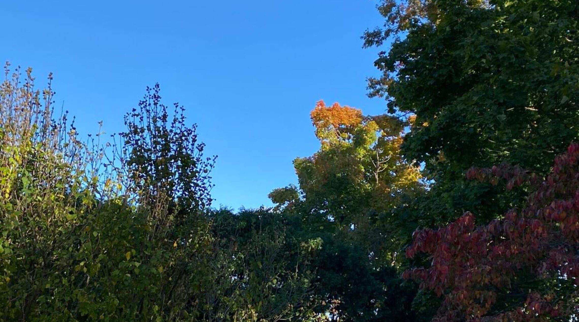
Summerlike weather today continuing through the rest of this week!


Skies are partly cloudy early on this Memorial Day and temperatures are milder than the last couple of mornings ranging from around 60 in the Clifton area to some low 50s further inland, winds are light or calm.

Today we be warm with increasing humidity, skies will be partly sunny with highs in the 80s.

Tuesday the warmth continues and we should stay dry.

The summerlike weather pattern will continue from Wednesday into the weekend with continued above normal temperatures and rather high humidity levels, there is a chance of showers and thunderstorms each afternoon and evening with the best chance inland.

The best chance of rain will be over the weekend as a cold front moves into the area, Saturday will still be warm but Sunday is expected to be a little cooler.


THE FORECAST:

TODAY – Partly sunny, high in the mid 80s.

TONIGHT – Partly cloudy, low in the mid 60s.

TUESDAY – Partly sunny, high in the upper 80s.

WEDNESDAY – Mostly cloudy with a chance of afternoon and evening showers and thunderstorms, high in the upper 80s.

THURSDAY – Mostly cloudy with a chance of afternoon and evening showers and thunderstorms, high in the mid 80s.

FRIDAY – Mostly cloudy with a chance of afternoon and evening showers and thunderstorms, high in the mid 80s.

SATURDAY – Partly sunny with a chance of showers and thunderstorms, high in the mid 80s.

SUNDAY – Mostly cloudy with a chance of showers and thunderstorms, high in the upper 70s.


MARINE FORECAST:   Small craft advisory will be in effect from 2 p.m. today till 6 a.m. on Tuesday for south-southwest winds gusting to 30 knots, seas 3-5 feet.

OUTLOOK – Near small craft advisory levels Tuesday and Wednesday with no advisories expected Thursday and Friday.


Have a good day!

Pleasantly warm weather for the rest of the holiday weekend! Unseasonably warm the rest of the week!


Skies are clear at sunrise this Sunday morning and temperatures are cool ranging from the upper 40s in the Clifton area to some 30s in the colder inland valleys, winds are nearly calm.

Today we will continue to have sunny skies, temperatures will rapidly rise and reach the low 80s by this afternoon.

Somewhat warmer on Memorial Day along with a bit more clouds but no rain is expected.

Warm weather will continue the rest of the week with daily highs mostly well up into the 80s along with higher humidity, the best chance of an afternoon and evening thundershower will be Wednesday and Thursday especially inland, however no widespread precipitation is expected through the forecast period.


THE FORECAST:

TODAY – Sunny, high in the low 80s.

TONIGHT – Partly cloudy, low around 60.

MEMORIAL DAY – Partly sunny, high in the mid 80s.

TUESDAY – Partly sunny, high in the upper 80s.

WEDNESDAY – Partly sunny with a chance of an afternoon or evening shower and thunderstorm, high in the upper 80s.

THURSDAY – Partly sunny with a chance of an afternoon or evening shower and thunderstorm, high in the mid 80s.

FRIDAY – Partly sunny, high in the low 80s.

SATURDAY – Partly sunny, high in the mid 80s.


MARINE FORECAST:   TODAY – South-southwest wind to 15 knots, seas 1-2 feet.  Water temperatures are in the upper 50s.

OUTLOOK – Near small craft advisories expected Monday through Thursday.


Have a good day!

Great weather for the holiday weekend, cool today but warmer Sunday and Monday, much above normal temperatures the rest of next week!


Skies are clear early this Saturday morning and temperatures are quite cool with readings ranging from the mid 40s in the Clifton area to some 30s further inland, winds are light.

Today will be a very pleasant day with plenty of sunshine, temperatures will rise to near 70 degrees which is slightly below normal for this time of year.

Warmer on Sunday with again plenty of sunshine.

Still warmer on Memorial Day and now it looks like it should stay dry.

Much above normal temperatures are expected the rest of the upcoming week with high temperatures averaging well up into the 80s with some 90 degree readings possible, there will be a chance of afternoon and evening showers Thursday and Friday but no widespread precipitation is expected as it appears that this month will be one of the warmest and driest May’s on record.


THE FORECAST:

TODAY – Sunny, high near 70.

TONIGHT – Mostly clear, low around 50.

SUNDAY – Sunny, high near 80.

MEMORIAL DAY – Partly sunny, high in the mid 80s.

TUESDAY – Mostly sunny, high in the upper 80s.

WEDNESDAY – Partly sunny, high in the upper 80s.

THURSDAY – Partly sunny with a chance of afternoon and evening showers and thunderstorms, high in the upper 80s.

FRIDAY – Partly sunny with a chance of afternoon and evening showers and thunderstorms, high in the mid 80s.


MARINE FORECAST:   TODAY – North-northwest wind to 12 knots, seas 1 foot.  Water temperatures are in the upper 50s.

OUTLOOK – No advisories expected through Wednesday.


Have a good day!

Milder with plenty of sunshine today! Mainly dry holiday weekend with a warming trend!


Skies have become mostly clear early this Friday morning and temperatures range from around 50 degrees in the Clifton area to some low 40s further inland, winds are light.

Today we will have mostly sunny conditions and temperatures will rise into the 70s, winds will become gusty this afternoon as a cold front approaches.  This front will come through dry but cooler and drier air will follow this front.

After a quite chilly Saturday morning we should see plenty of sunshine with highs only slightly below normal.

Sunday will be an outstanding late spring day with again plenty of sunshine along with warmer temperatures.

Memorial Day will see more in the way of clouds but it will stay warm along with a chance of scattered thunderstorms in the afternoon and evening.

Summerlike weather will continue next week with temperatures well above normal along with an increase in humidity, with this warmth and humidity there will be a chance of a popup shower or thunderstorm each day but no widespread precipitation is expected.


THE FORECAST:

TODAY – Mostly sunny, high in the mid 70s.

TONIGHT – Mostly clear and cool, low in the mid 40s.

SATURDAY – Sunny, high near 70.

SUNDAY – Sunny, high near 80.

MEMORIAL DAY – Mostly cloudy with a chance of showers and thunderstorms, high near 80.

TUESDAY – Partly sunny with a chance of afternoon and evening showers and thunderstorms, high in the upper 80s.

WEDNESDAY – Partly sunny with a chance of afternoon and evening showers and thunderstorms, high in the upper 80s.

THURSDAY – Partly sunny with a chance of afternoon and evening showers and thunderstorms, high in the mid 80s.


MARINE FORECAST:   A small craft advisory will be in effect from noon today till 6 a.m. on Saturday for west winds gusting to 30 knots, seas 2-4 feet.

OUTLOOK – No advisories expected during the day Saturday through Tuesday.


Have a good day!

Cloudy and cool today with a chance of very light rain this afternoon! Dry Friday through the Memorial Day weekend with a warming trend!


Skies are cloudy this Thursday morning and temperatures range from around 50 degrees in the Clifton area to the low 40s further inland, winds are light.

Today will be cloudy as a low pressure moves off the Carolina coast, precipitation with this system may brush the area with some very light rain falling later this afternoon and this evening, amounts will be quite light with only a few hundredths  of an inch falling, slightly more to our south with only trace amounts if any expected to our north.  Temperatures will be quite cool once again with highs just over the 60 degree mark.

Sunshine returns on Friday along with milder temperatures.

The Memorial Day weekend looks to be outstanding for most outdoor activities with the only a chance of showers Monday evening.  Temperatures start off on the cool side on Saturday warming up Sunday and Monday.

Warm conditions should continue into most of next week and we may have our first 90 degree day by Wednesday.


THE FORECAST:

TODAY – Mostly cloudy with a chance of light rain after 2 p.m., high in the low 60s.

TONIGHT – Cloudy with a chance of light rain, low in the upper 40s.

FRIDAY – Mostly sunny, high in the mid 70s.

SATURDAY – Sunny, high near 70.

SUNDAY – Mostly sunny, high near 80.

MEMORIAL DAY – Mostly cloudy, high near 80, chance of showers at night.

TUESDAY – Mostly cloudy with a chance of showers and thunderstorms, high in the mid 80s.

WEDNESDAY – Partly sunny with a chance of showers and thunderstorms, high in the upper 80s.


MARINE FORECAST:  TODAY – Southeast wind to 11 knots, seas 1-2 feet.

OUTLOOK – Advisories possible late Friday into Saturday morning otherwise no advisories expected through Monday.


Have a good day!