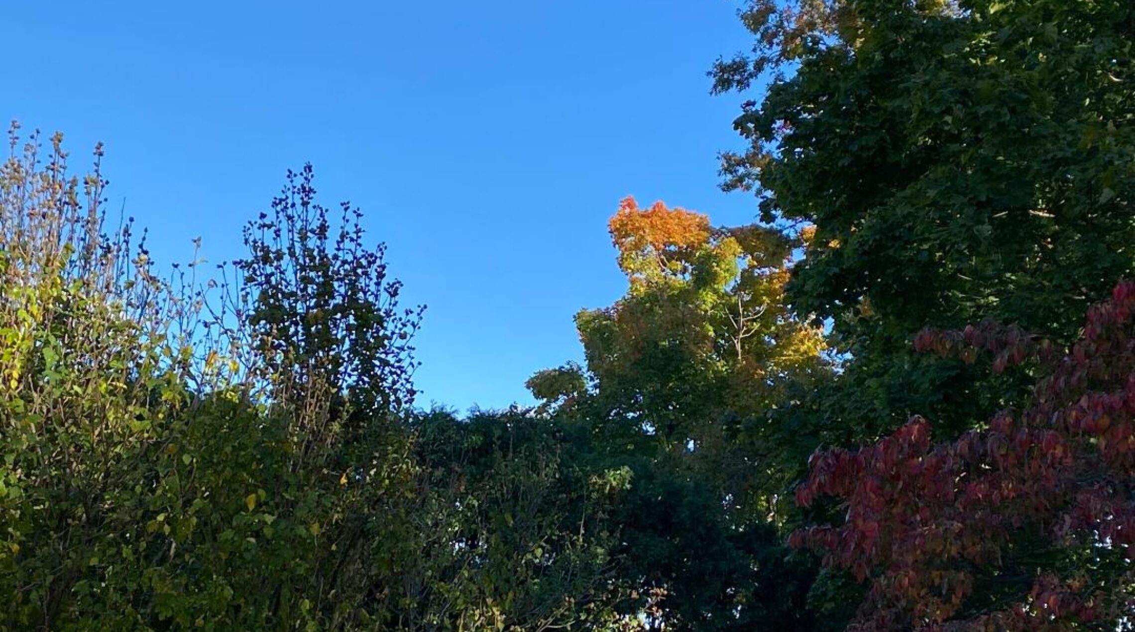
Cool, breezy and dry Wednesday! Dry weather should persist through Sunday!


Skies are clear this early Wednesday morning and temperatures have fallen to the mid 50s in Clifton to some upper 40s further inland, winds are from the northwest around 10 mph.

Today will feature plenty of sunshine with cooler conditions as high pressure builds into the area from the west, high temperatures will be around 70 degrees which is only slightly below normal.

After a chilly Thursday morning with lows in the 40s we should see some increasing cloudiness during the day as a low pressure moves off the Carolina coast, precipitation should stay to our south maybe reaching Southern New Jersey but our area should stay dry.

Sunny skies should prevail Friday through Sunday, temperatures will be near seasonable levels with Saturday being the coolest day.

Warmer on Memorial Day but we will also have a chance of showers and thunderstorms.

Next week looks to be rather warm with most highs reaching the 80s.


THE FORECAST:

TODAY – Sunny, high near 70.

TONIGHT – Partly cloudy, low in the mid 40s.

THURSDAY – Mostly cloudy, high in the upper 60s.

FRIDAY – Mostly sunny, high in the mid 70s.

SATURDAY – Sunny, high near 70.

SUNDAY – Mostly sunny, high in the upper 70s.

MEMORIAL DAY – Mostly cloudy with a chance of showers and thunderstorms, high in the upper 70s.

TUESDAY – Mostly cloudy with a chance of showers and thunderstorms, high in the mid 80s.


MARINE FORECAST  TODAY – Northwest wind to 14 knots seas 1 foot.

OUTLOOK – No advisories expected through Sunday.


Have a good day!

Warmer with showers today! Dry and pleasant Wednesday through most of the holiday weekend!


We have cloudy skies early this Tuesday morning, temperatures are ranging from the upper 50s in Clifton to some lower 50s further inland,  there is some fog around along with scattered light showers, winds are nearly calm.

Today will be warmer and rather humid as a warm front moves through the area, showers will become likely later this morning with only a chance of showers later in the afternoon and in the evening as a cold front then moves through the area.

Cooler and dry weather on Wednesday and we should have a nice stretch of nice weather continuing Thursday through most of the holiday weekend, with only a low chance of showers on Memorial Day.  Temperatures will be at or slightly below normal into Saturday with a warming trend starting Sunday and lasting through most of next week.


THE FORECAST:

TODAY – Cloudy with showers and possibly a thunderstorm, high near 80.

TONIGHT – A chance of a shower before 9 p.m. then clearing, low in the upper 50s.

WEDNESDAY – Sunny and cooler, high near 70.

THURSDAY – Mostly sunny, high near 70.

FRIDAY – Mostly sunny, high in the mid 70s.

SATURDAY – Sunny, high near 70.

SUNDAY – Mostly sunny, high in the upper 70s, chance of showers at night.

MEMORIAL DAY – Mostly cloudy with a chance of showers and thunderstorms, high near 80.


MARINE FORECAST:   TODAY – South-southwest wind to 9 knots seas 1-2 feet.

OUTLOOK – Small chance of small craft advisories on Friday otherwise no advisories expected through Saturday.


Have a good day!


Cooler today! Showers and milder on Tuesday! Dry and pleasant Wednesday through Sunday!


We have mostly cloudy skies early this Monday morning and temperatures are mild with readings ranging from the upper 60s in the Clifton area to the low 60s in some colder areas,  winds are light and the humidity is on the high side.

A backdoor cold front will come though the area this morning and temperatures will not rise much from the current readings, ranging from around 70, skies will be mostly cloudy.

The front will move back to our north as a warm front on Tuesday morning followed by a stronger cold front Tuesday evening, showers and possibly some thunderstorms are likely from late tonight through Tuesday evening with warmer temperatures.

A stretch of pleasant spring weather then is likely from Wednesday through Sunday, the days will have plenty of sunshine with seasonably mild temperatures.

Showers may return for Memorial Day.


THE FORECAST:

TODAY – Mostly cloudy and cooler, low around 70.

TONIGHT – Cloudy with a chance of showers after midnight along with a possible thunderstorms, low in the upper 50s.

TUESDAY – Mostly cloudy with showers and thunderstorms likely, high in the upper 70s.

WEDNESDAY – Sunny, high near 70.

THURSDAY – Mostly sunny, high near 70.

FRIDAY – Mostly sunny, high in the mid 70s.

SATURDAY – Sunny, high in the low 70s.

SUNDAY – Mostly sunny, high in the upper 70s.


MARINE FORECAST:   TODAY – East wind to 14 knots, seas 2-3 feet.

OUTLOOK – No advisories expected through Friday.


Have a good day!


A mostly cloudy and warm Sunday but it should stay dry! Much cooler on Monday!


Skies are mostly cloudy early this morning and it is quite mild with temperatures mainly in the low-mid 60s across the area, most of the overnight shower activity has moved offshore.  In Clifton I recorded .31″ of well needed rain since yesterday.

Today we should stay dry and temperatures will rise to the mid 80s, winds will be quite light and it will remain on the muggy side.

A backdoor cold front will move south of the area tonight and winds will become more onshore so highs on Monday should be more than 15 degrees colder than today’s.

On Tuesday a warm front will move back through the area quickly followed by a stronger cold front, it will be warmer during the day with showers and thunderstorms likely during the day and at night.

Dry with plenty of sunshine and seasonably mild temperatures from Wednesday into at least the beginning of the holiday weekend.


THE FORECAST:

TODAY – Mostly cloudy, high in the mid 80s.

TONIGHT – Mostly cloudy, low in the mid 60s.

MONDAY – Mostly cloudy and cooler, high in the upper 60s.  Chance of showers at night.

TUESDAY – Cloudy with showers and thunderstorms likely, high in the upper 70s.

WEDNESDAY – Sunny, high in the low 70s.

THURSDAY – Mostly sunny, high in the mid 70s.

FRIDAY – Mostly sunny, high in the mid 70s.

SATURDAY – Sunny, high in the mid 70s.


MARINE FORECAST:  TODAY – Southwest wind to 7 knots, seas 1 foot.

OUTLOOK – No advisories expected through Thursday.


I want to wish good luck to my daughter Bethany who is running in her first 1/2 marathon today, I am looking forward to watching you cross the finish line.

I want to thank by son Jared for supplying me with a nice and fast computer, it was so much quicker to bring up all my websites that I look at to compile my forecast.

And finally I want to thank my oldest child Jessica for giving me her 24 hour bug… lol.


Have a good day!

Warmer with some showers likely mainly occurring late this evening into early Sunday morning!


Skies are generally cloudy early this Saturday morning and temperatures are milder than the last couple of mornings, ranging from the upper 50s in the Clifton area to the low 50s further inland, winds are light.  There are some showers and thunderstorms across the Hudson Valley extending to the extreme northwest corner of Sussex County.

A warm front has crossed to our north this morning and we will have a warmer day today despite plenty of cloudiness, temperatures should rise in the low 80s.  There may be a couple of showers this morning but the afternoon should be dry.

The best likelihood of showers and thunderstorms will be from late this evening into early Sunday morning, temperatures tonight will be quite warm only falling into the upper 60s.

Sunday will be warm again but after some early morning showers most of the rest of the day will be dry.

Cooler on Monday as a back door cold front moves to our south and we will have a more flow off the ocean, high temperatures may be around 15 degrees lower than on Sunday.

A stronger cold front will come through on Tuesday along with some showers and thunderstorm activity.

The rest of the week appears to be dry with seasonable temperatures.

Looking ahead to the Memorial holiday weekend it now is indicating slightly above normal temperatures with the best chance of rain is on Sunday, of course that could change.


THE FORECAST:

TODAY – Mostly cloudy with a chance of a shower this morning, high in the low 80s.

TONIGHT – Mostly cloudy with showers and thunderstorms likely by late tonight, mild with lows in the upper 60s.

SUNDAY-  Mostly cloudy with a chance of an early shower, high in the mid 80s.

MONDAY – Mostly cloudy and cooler, high near 70s, chance of showers at night.

TUESDAY – Cloudy with showers and a possible thunderstorm, high in the upper 70s.

WEDNESDAY – Mostly sunny, high in the low 70s.

THURSDAY – Mostly sunny, high in the mid 70s.

FRIDAY – Mostly sunny, high in the mid 70s.


MARINE FORECAST:  TODAY – Southerly winds to 14 knots seas 1-2 feet.

OUTLOOK – Below advisory level conditions expected today through Wednesday.


Have a good day!