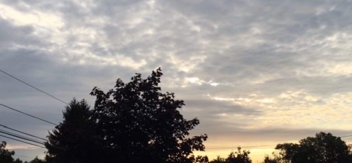
Skies are clear early this Wednesday morning and temperatures range from around 60 in Clifton to some upper 40s in the cooler inland areas, winds are nearly calm.
Today we will again have plenty of sunshine and temperatures may be a couple of degrees warmer than yesterday reaching the upper 80s. Even with the higher temperatures humidity levels will not be too bad with dew points in the 50s.
Warm and dry weather will continue Thursday through Saturday with high temperatures in the 80s.
A weak cold front will be coming through on Sunday, a little more cloudiness can be expected along with a slight chance of a shower.
Dry with more seasonable temperatures early next week.
This dry weather is much more different than on this day 16 years ago when Hurricane Flood gave our area torrential rains and widespread massive flooding.
THE FORECAST:
TODAY – Sunny, high in the upper 80s.
TONIGHT – Clear, low in the low 60s.
THURSDAY – Sunny, high in the upper 80s.
FRIDAY – Sunny, high in the mid 80s.
SATURDAY – Sunny, high in the mid 80s.
SUNDAY – Partly sunny, high near 80.
MONDAY – Mostly sunny, high in the upper 70s.
TUESDAY – Mostly sunny, high in the upper 70s.
MARINE FORECAST: TODAY – Northeast wind to 8 knots seas 1 foot.
OUTLOOK – No advisories expected through Sunday.
Water temperatures are in the mid 70s.
Have a good day!