Pleasantly mild today after a chilly morning! Mainly rain Tuesday with showers on Wednesday! Mild and dry Thursday and Friday!


Skies are mostly clear early on this ML King holiday and with light winds and clear skies temperatures have fallen to the low 20s here in Clifton to around  10 in some of the outlying valleys.

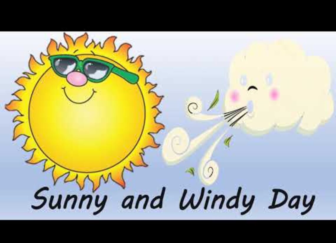
Today we will have mostly sunny skies, temperatures will rise quickly after sunrise reaching the 40s by this afternoon, winds should stay light as high pressure will be in control of our weather.

A low pressure system will affect our area on Tuesday with rain developing in the afternoon possibly beginning as a mix of sleet and freezing rain  inland.

Chances of showers on Wednesday mainly in the morning.

Thursday through the weekend will be mild and mainly dry with the only chance of some light rain late Friday night.

At this time it looks like the mild pattern will extend through the end of this month.


THE FORECAST:

TODAY – Sunny, high in the mid 40s.

TONIGHT – Increasing cloudiness, low in the low 30s.

TUESDAY – Rain developing, high in the low 40s.

WEDNESDAY – Chance of showers mainly in the morning, cloudy with highs in the upper 40s.

THURSDAY – Partly sunny, high near 50.

FRIDAY – Mostly sunny, high in the upper 40s, chance of rain late at night.

SATURDAY – Partly sunny, high in the upper 40s.

SUNDAY – Partly sunny, high in the upper 40s.


MARINE FORECAST: TODAY – Light and variable winds, seas 1 foot.

OUTLOOK –  Chance of small craft advisory conditions Tuesday night into Wednesday with no advisories expected Thursday and Friday.


Have a nice day!

Mostly sunny today and Monday with milder temperatures! Rain Tuesday into Wednesday! Mild and dry Thursday and Friday!


Skies have become partly cloudy early on this Sunday morning and temperatures range from the upper 20s in the Clifton area to the low 20s further inland, winds are light.  Some slippery spots remain after the 1.5 inches of snow that fell yesterday so be careful driving or walking.

High pressure will build into the area today and be with us tomorrow providing mostly sunny skies both days, temperatures should reach the low 40s which is a bit above normal for mid January.

A warm front will move through on Tuesday followed by a cold front on Wednesday, this will cause precipitation mainly in the form of rain but may start as freezing rain especially inland on Tuesday morning.  Mild on Wednesday with rain mostly falling in the morning.

High pressure will then build into the area on Thursday and be with us through next weekend, the air will be of Pacific origin so it will be mild each day with highs near 50.


THE FORECAST:

TODAY – Sunny, high in the low 40s.

TONIGHT – Mostly clear, low in the low 20s.

ML KING DAY – Sunny, high in the mid 40s.

TUESDAY – Cloudy with rain likely possibly beginning as a mix of snow and freezing rain, high in the low 40s.

WEDNESDAY – Cloudy with a chance of rain, mainly in the morning, high near 50.

THURSDAY – Mostly cloudy, high near 50.

FRIDAY – Mostly sunny, high near 50.

SATURDAY – Mostly sunny, high near 50.


MARINE FORECAST:  TODAY – North-northwest wind gusting to 11 knots, seas 1 foot.

OUTLOOK – Possible small craft conditions late Wednesday for high seas otherwise no advisories expected through Thursday.


Have a nice day!

Cloudy and chilly today with some light snow or flurries! Dry with seasonable temperatures Sunday and Monday! Mainly rain Tuesday afternoon into Wednesday!


Skies have become cloudy early on this Saturday morning and temperatures are much colder than the last couple of days ranging from the mid 20s here in Clifton to around 20 further inland, these readings are actually a little above normal for mid January.

A cold high pressure to our north along with a weak front to our south will cause cloudy skies today with a chance of light snow this afternoon and evening, little or no accumulation is expected.

Dry weather with moderating temperatures Sunday and Monday.

A warm front will be crossing the area on Tuesday followed by a cold front on Wednesday this will cause precipitation mainly in the form of rain but inland areas may see a mix of snow, sleet and freezing rain at the start before changing to all rain.

No cold air following the front so Thursday and Friday look to be pleasantly mild and dry.


THE FORECAST:

TODAY – Cloudy with a chance of light snow this afternoon, high in the mid 30s.

TONIGHT – Slight chance of light snow in the evening, cloudy then clearing after midnight, low in the upper 20s.

SUNDAY – Sunny, high near 40.

ML KING DAY – Sunny, high in the low 40s.

TUESDAY  Cloudy with a chance of rain after 9 a.m., high in the mid 40s.

WEDNESDAY – Cloudy with a chance of rain in the morning, high in the low 50s.

THURSDAY – Mostly sunny, high near 50.

FRIDAY – Partly sunny, high near 50.


MARINE FORECAST:  TODAY – North-northeast wind to 11 knots diminishing this afternoon, seas 1 foot.

OUTLOOK – No advisories expected Sunday through the day on Tuesday with possible small craft conditions Tuesday night into Wednesday.


Have a nice Saturday!

Much cooler today with sunny skies! Cold on Saturday with only a little light snow or flurries! Mild again next week!


Skies are partly cloudy early on this Friday the 13th and temperatures are mild but are falling with readings ranging from around 50 in the Clifton area to the upper 30s further inland, winds are a little brisk out of the west.  Yesterday many high temperatures were recorded for the date and the 65 degrees in Clifton was the warmest January day in 9 years.  The temperature just after midnight this morning was 59 degrees which was a record high in Clifton for today.

A cold front has moved to our south and colder air is slowly filtering in, temperatures that are around 50 right now will fall to the upper 30s by sunset despite mostly sunny skies, there will be a brisk west wind.

Saturday will be cold as high pressure builds from the north while a stationary front will be to our south, moisture from this front is only expected now to give us very light snow or flurries which will only give us a dusting of snow with more falling to our south while north of our area will remain dry.

Sunday will be a mostly sunny day with seasonably cool temperatures.

Monday should be dry with continued seasonably cool temperatures.  A warm front will be crossing the area on Tuesday, precipitation with this front will be mainly rain but may start off as a wintry mix Tuesday morning.

A chance of showers will continue Wednesday and Thursday morning  with mild temperatures that will last through next weekend.


THE FORECAST:

TODAY – Sunny with temperatures falling to the upper 30s by sunset.

TONIGHT – Increasing cloudiness and colder, low around  20.

SATURDAY – Mostly cloudy with a chance of light snow mainly after 3 p.m. high in the low 30s, little or no accumulation expected.

SUNDAY – Sunny, high in the low 40s.

ML KING DAY – Increasing cloudiness, high in the low 40s.

TUESDAY – Cloudy with a chance of rain, high in the upper 40s.

WEDNESDAY – Cloudy with a chance of rain, high in the low 50s.

THURSDAY – Mostly cloudy with a chance of morning showers, high in the low 50s.


MARINE FORECAST;  Small craft advisories in effect till 6 p.m. this evening for northwest winds gusting to 30 knots, seas 5-7 feet.

OUTLOOK – No advisories expected Saturday through Tuesday.


Have a lucky Friday the 13th!

Unseasonably mild today with some record highs possible! Cooler on Friday! Much colder on Saturday with light snow possible!


Skies are cloudy across the area early on this Thursday morning and there are some scattered light showers around as the main area of rain that fell overnight has moved offshore, temperatures are very mild with readings ranging from the low 50s in the Clifton area to the mid 40s further inland, these early morning temperature are more typical for the middle of May.

Today we will have considerable cloudiness but temperatures should climb to near 60 degrees and if we get any sunshine the mid 60s are possible.  The day should remain mostly dry but we can’t rule out a light shower in some areas mainly this morning.

A cold front will come through tonight only accompanied by clouds and a low chance of a shower, the front will be followed by cooler air for Friday but temperatures will still be above normal.

On Saturday high pressure will build down from Canada giving us even colder temperatures and some moisture from a front to our south will likely produce some light snow, at this time only about an inch of snow is possible.

Sunday and Monday should be dry with seasonably cold temperatures.

A warm front will be moving through the area Tuesday morning accompanied by some rain that may start off as a wintery mix inland.

Milder weather will be with us Tuesday through the end of next week.


THE FORECAST:

TODAY – Cloudy with a low chance of a shower mainly this morning, very mild with a high near 60.

TONIGHT – Mostly cloudy, low around 40.

FRIDAY – Mostly sunny and cooler, high in the mid 40s.

SATURDAY – Cloudy and colder with a chance of light snow mainly in the afternoon and evening, high only around  30.

SUNDAY – Mostly sunny, high near 40.

ML KING DAY – Mostly sunny in the morning then becoming mostly cloudy, high in the low 40s.

TUESDAY – Mostly cloudy with a chance of rain, high in the upper 40s.

WEDNESDAY – Cloudy with a chance of rain, high in the low 50s.


MARINE FORECAST: Small craft advisory in effect till 6 p.m. on Friday; southwest winds today to 30 knots seas 4-7 feet.

OUTLOOK – No advisories expected Friday night through Monday.


Have a good day!