TUESDAY DECEMBER 19, 2017 5:56 A.M.
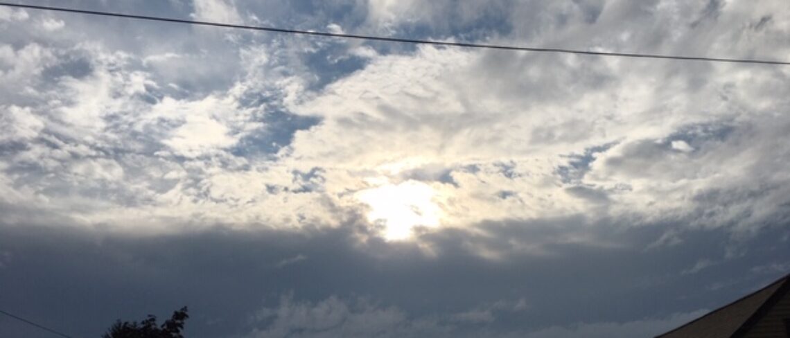
Our area has mostly cloudy skies early on this Tuesday morning and it is quite mild with readings ranging from the mid 40s in the Clifton area ranging down to the low 30s further inland, winds are light.
A southwest flow of mild air will be with us today ahead of a cold front that will cross the area tonight, it will be breezy this afternoon, we should have more clouds than sun. High temperature is expected to be in the low 50s.
Dry, breezy and colder on Wednesday. Still chilly on Thursday but with diminishing winds.
Milder on Friday as a warm front approaches the area.
Quite mild on Saturday ahead of a cold front, we may likely see some showers also throughout the day.
Still a chance of showers on Sunday with cooler temperatures but still above normal.
A low pressure system moving up the coast on Christmas Day will give us a good chance of rain, the rain may change briefly to snow inland before ending late at night.
Much colder air will be with us much of next week.
THE FORECAST:
TODAY – DEC 19 – Partly sunny and breezy, high in the low 50s.
TONIGHT – Partly cloudy, low in the mid 30s.
WEDNESDAY – DEC 20 – Mostly sunny and breezy, high in the low 40s.
THURSDAY – DEC 21 – Mostly sunny, high in the upper 30s.
FRIDAY – DEC 22- Mostly cloudy, high in the upper 40s.
SATURDAY – DEC 23 – Cloudy and quite mild with rain likely, high in the upper 50s.
SUNDAY – DEC 24 – Partly sunny with a chance of showers, high in the upper 40s.
CHRISTMAS DAY – DEC 25 – Mostly cloudy with a chance of rain, high in the mid 40s.
MARINE FORECAST: TODAY – West winds to 15 knots, seas 1-2 feet.
OUTLOOK – A gale watch as been issued effective between 10 p.m. tonight until 10 a.m. Wednesday morning. No advisories expected Wednesday night through the day on Friday; possible small craft conditions Friday night into Saturday.
Enjoy the milder weather today!
