Good morning!
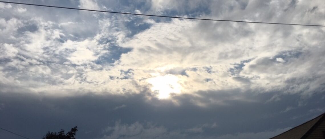
Skies are cloudy early on this Wednesday morning and temperatures range from the mid 30s in Clifton to the upper 20s further inland where there are some flurries falling, winds are around 10 mph.
Strong low pressure off the upper New England coast along with high pressure building from the west will give us a mostly cloudy day. It will be windy with some gusts up to 35 mph, high temperatures in the 40s will feel colder due to the wind.
Less wind but staying chilly and dry Thursday through the day on Friday as high pressure gets closer to the area.
A frontal system will give us a chance of rain Friday night becoming more likely on Saturday.
A warm front will cross the area Sunday morning accompanied by some showers and followed by much warmer air, high temperatures may rise to the low 60s. A cold front is expected to come through Sunday night followed by cooler and dry weather for early next week.
THE FORECAST:
TODAY – NOV 28 – Mostly cloudy and windy, high in the mid 40s.
TONIGHT – Partly cloudy, low in the low 30s.
THURSDAY – NOV 29 – Mostly sunny and breezy, high in the mid 40s.
FRIDAY – NOV 30 – Partly sunny, high in the mid 40s, chance of rain at night.
SATURDAY – DEC 1 – Mostly cloudy with rain likely, high in the upper 40s.
SUNDAY – DEC 2 – Cloudy with rain mainly before noon, quite mild with highs in the low 60s, chance of a shower at night.
MONDAY – DEC 3 – Mostly sunny, high in the low 50s.
TUESDAY – DEC 4 – Partly sunny, high in the mid 40s.
MARINE FORECAST: A gale warning is in effect until 6 a.m. Thursday morning for west winds gusting to 45 knots, seas 3-6 feet.
OUTLOOK – Small craft advisories likely to continue on Thursday; no advisories expected on Friday; small craft advisories again likely Saturday and Sunday.
Have a nice day!