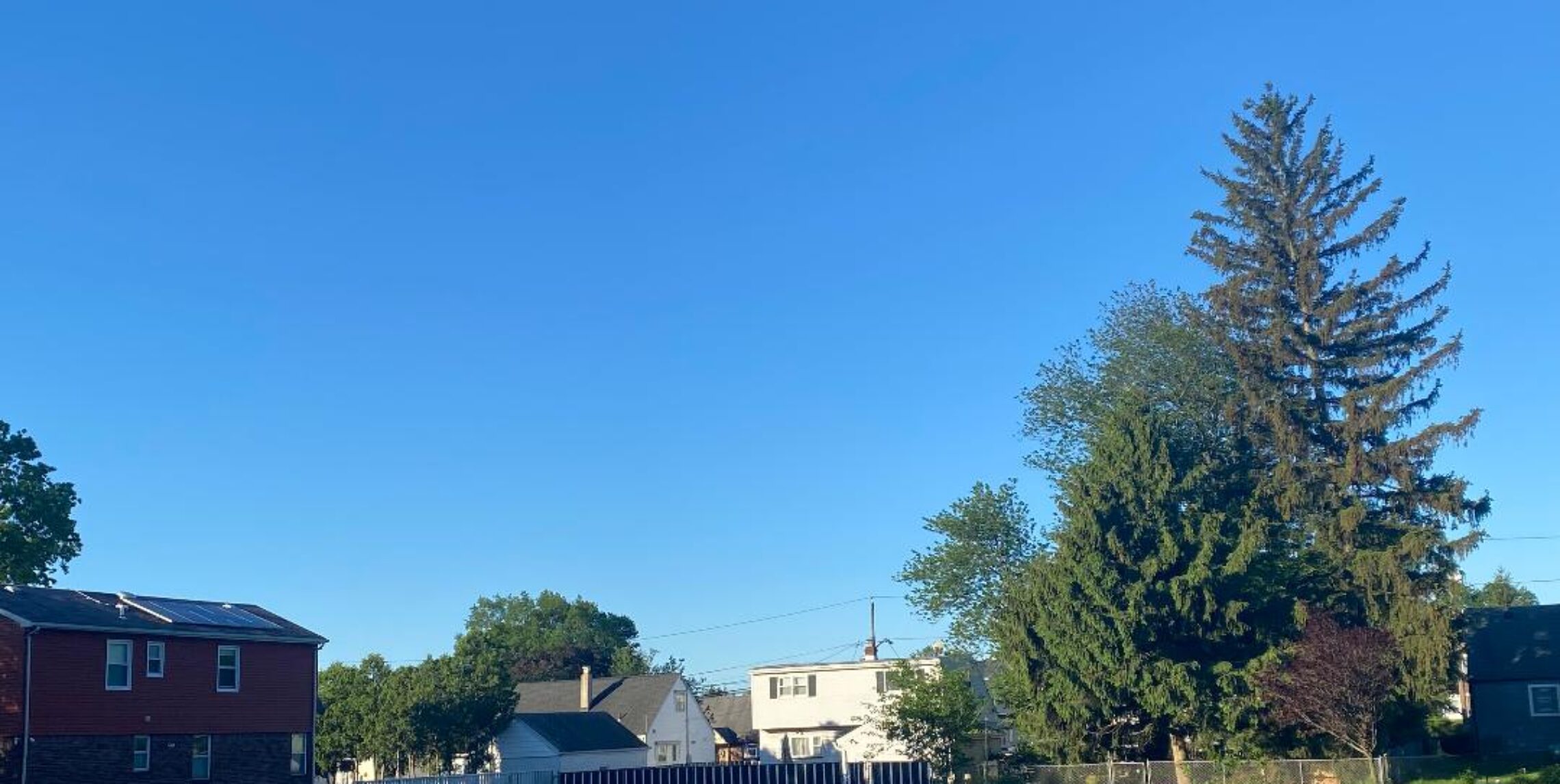
Good morning everyone!
Skies are mostly cloudy early on this Tuesday morning and temperatures range from 67 in Clifton down to 62 at Walpack, Pequest and Hackettstown. Winds are calm or light southerly. The air quality is moderate with an index of 59.
CLIFTON’S ALMANAC FOR JULY 29TH.
AVERAGE HIGH: 85 AVERAGE LOW: 67
RECORD HIGH: 96 – 2025 RECORD LOW: 55 – 1992
YESTERDAY’S HIGH: 88 LOW: 69 PRECIPITATION: .08″
Last evening’s thunderstorm only gave us .08″ of rainfall while parts of Bergen County received more than 3″
Today the rainfall will be much more widespread as a slow moving frontal system moves into our area. Showers and thunderstorms should develop by this afternoon with rain heavy at times through Wednesday morning. A flood watch is in effect for possible 2-5 inches of rain. With the clouds and rain high temperatures will be below normal but the humidity will be high with dew points near 70 degrees.
Still some lingering showers likely Wednesday afternoon through Thursday evening as an upper level low will be slow to move through the area but rainfall should be less intense.
Weak high pressure will then move into our area for Friday and Saturday giving us dry conditions along with seasonable warm temperatures.
A weaker frontal system then will give us a chance of showers and thunderstorms Sunday and Monday.
THE FORECAST:
TODAY – JULY 28 – Mostly cloudy with a chance of showers and thunderstorms this morning then showers and thunderstorms with rain heavy at times, humid with highs near 80.
TONIGHT – Cloudy with showers and thunderstorms heavy at times, humid, lows in the upper 60s.
WEDNESDAY – JULY 29 – Mostly cloudy with showers and thunderstorms likely, rain may be heavy at times especially in the morning, highs near 80.
THURSDAY – JULY 30 – Mostly cloudy with showers likely with possible thunderstorms, highs near 80.
FRIDAY – JULY 31 – Mostly sunny, highs in the low 80s.
SATURDAY – AUG 1 – Mostly sunny, highs in the mid 80s.
SUNDAY – AUG 2 – Mostly cloudy with a chance of showers and thunderstorms, highs in the low 80s.
MONDAY – AUG 3 – Partly sunny with a chance of showers and thunderstorms, highs in the mid 80s.
MARINE FORECAST: A small craft advisory has been posted effective between noon today through 6 a.m Wednesday morning for southerly winds gusting to 30 knots, seas 3-6 feet. Belmar’s ocean temperature is 73 degrees.
OUTLOOK – No advisories expected the rest of Wednesday through Saturday.
Have a nice day but if you are driving and the road is flooded then turn around and don’t drown!