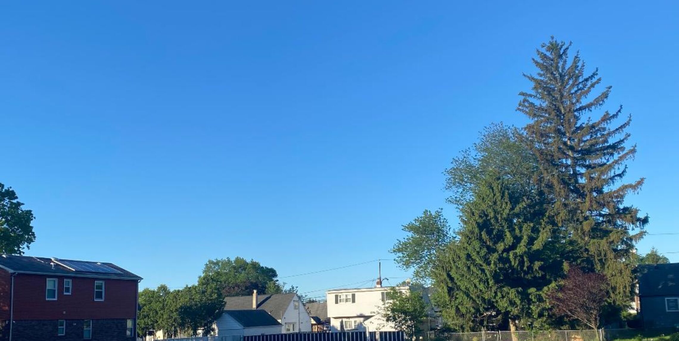
Storms have moved away, very pleasant next several day ahead!


The severe weather of yesterday caused some damage and power outages around the area. A squall line came through around 5pm with briefly strong wind gusts and heavy rain, some reports of trees coming down and hitting homes and cars. Here I estimated at 35 mph wind gust and I picked up .46″ of rain. Earlier in the day two tornadoes hit New York City, one in Queens and the other in Brooklyn causing some damage but no injuries. There was even a funnel cloud seen in Brick, NJ.
Now the weather turns much more tranquil with cooler and much less humid conditions today and lasting through the week, in fact by Tuesday morning temperatures may fall to the 40s in many areas. A warm up from Wednesday until next weekend with temperatures reaching the 80s but humidity will stay low..

The forecast: Today, mostly sunny, cooler and less humid, high in the upper 70s.

Tonight, partly cloudy, low in the mid-upper 50s.

Monday and Tuesday, sunny with highs in the mid 70s.

Wednesday through Saturday, mostly sunny days with highs mostly in the lower 80s.

Marine Forecast: Today, small craft advisory issued for hazardous seas, north winds up to 10 knots, Seas to 6 feet.
Outlook: high wave heights due to Tropical Storm Leslie should continue small craft advisories through Tuesday, dropping below advisory levels Wednesday through early next weekend.

Enjoy this pleasant and quiet weather!

Beware of very strong to severe thunderstorms later this afternoon and evening!


Warm and humid air ahead of a strong cold front this morning. A good chance of a squall line coming through after 4PM which can cause damaging winds and hail along with very heavy rain, in fact there is a risk of an isolated tornado or two..
Following the front much cooler and drier air will filter in for Sunday. The rest of next week looks rain free, temperatures will start out cool next week but increase later in the week, however humidity levels will stay low through Friday!

The forecast: Today, mostly cloudy with thunderstorms developing by this afternoon, some storms may be severe, high in the mid 80s.

Tonight, cloudy with showers and thunderstorms mostly before midnight, some storms may be severe, low in the low 60s..

Sunday, becoming mostly sunny, not as warm and much less humid, high in the upper 70s.

Monday through Friday, mostly sunny each day, high temperatures in the 70s on Monday and Tuesday rising to the 80s Wednesday through Friday.

Marine Forecast: Today, small craft advisory, south winds gusting to 30mph with seas up to 6 feet. Thunderstorms in the afternoon and evening
Outlook: Small craft advisories into Tuesday as Tropical Cyclone Leslie continues to create rough seas.. Sub-Advisory levels Wednesday through Friday.

Have a safe day and keep alert for possible storms later today!

Quite warm and humid Friday, strong storms possible late Saturday!


Well yesterday’s forecast was for temperatures in the upper 80s with plenty of sunshine but mid-level clouds most of the day prevented temperatures to rise only to around 80 degrees.
Today we “should” have more sun and again I will predict quite warm temperatures.
Saturday’s weather could be interesting as there is a possibility of strong to severe thunderstorms from late Saturday into very early Sunday morning as a strong cold front crosses the area. Behind the front it will be much cooler and drier from Sunday through the early part of next week. A little warmer towards the end of next week..
Meanwhile Hurricane Leslie will kick up the ocean waters with dangerous rip currents and hazardous waves.

The forecast: Today, partly sunny warm and humid, highs in the upper 80s.

Tonight: partly cloudy, warm and muggy, lows in the low 70s.

Saturday, mostly cloudy, quite humid with a chance of showers and thunderstorms mostly after 2pm, highs in the upper 80s. Storms most likely in the evening with the potential of damaging winds and very heavy rain…

Sunday, mostly sunny, much cooler and less humid, high upper 70s.

Monday through Thursday, mostly sunny days, high temperatures in the mid-upper 70s on Monday and Tuesday, rising to the low 80s by Thursday.

Marine Forecast: Today, small craft advisory for hazardous seas, south winds gusting to 20 knots by this afternoon, seas rising to 5-6 feet by tonight..
Outlook. Small craft advisories will likely be needed for Saturday and Sunday with gusty winds and hazardous seas. Monday and Tuesday will still have hazardous seas as Hurricane Leslie passes well to our east. Sub-advisory level winds and seas Wednesday and Thursday..

Enjoy this last day of the work week!

Tropical humidity and showers continue this Wednesday!


Yesterday we had .50″ of rain but areas in Ocean county had upwards of 6″ of rain early yesterday morning and northwest New Jersey had up to 4″ of rain last night.
Right now we have dew points in the mid 70s again, a cold front is approaching from the west and will give us some more heavy showers and thundershowers mostly ending by 3PM.
After the cold frontal passage it really won’t be cooler but the dew points will drop to the bearable 60s. Quite warm on Thursday with no rain in the forecast, however Friday showers will again be possible. Weekend looks unsettled again with showers possible. Finally cooler and drier air moves in for early next week..

The forecast: Today, showers and thunderstorms likely mostly before 3pm, quite humid, highs in the mid 80s.

Tonight: becoming partly cloudy and less humid, chance of an early evening shower, lows in the mid 60s.

Thursday, mostly sunny, high in the upper 80s.

Friday, partly sunny, chance of afternoon and evening showers and thunderstorms, highs in the upper 80s.

Saturday, partly sunny with a chance of showers and thunderstorms, not as warm, high near 80.

Sunday, mostly cloudy with a chance of showers and thunderstorms, high near 80.

Monday, partly sunny, high in the upper 70s.

Tuesday, mostly sunny, highs in the mid 70s.

Marine forecast: Small craft advisory for rough seas through Thursday, southwest wind to 20 knots, seas up to 7 feet in long period swells.
Outlook, an extended period of small craft advisory level conditions due to high swells from offshore tropical system “Leslie” through early next week..

Also due to “Leslie” high rip currents are likely at the ocean beaches.

Have a nice day despite the weather!

Heavy rain showers likely as most people go back to work!


Yesterday stayed dry in our area as I only picked up .02″ of rain, however it was mainly cloudy with temperatures in the 70s. Around 2am we picked up .31″ of rain as a heavy shower moved through. Parts of Central and Southern New Jersey had quite a bit more of rain with over 2″ of overnight rain in the Point Pleasant area causing flooding.
Here today and showers and thunderstorms will occur, hard to predict where the heaviest rain will be. More showers on Wednesday but also with some sun. Thursday and Friday should stay dry with quite warm temperatures. Unsettled weather returns on the weekend with cooler temperatures.. High surf and rip currents will be affecting the ocean beaches from Leslie by this weekend..

The forecast: Today, showers and thunderstorms, some rain may be heavy, high in the low 80s, humid…

Tonight: cloudy with showers and thunderstorms likely, some heavy rain possible, low around 70.

Wednesday, mostly cloudy with showers and thunderstorms likely, warm and humid, high in the mid 80s.

Thursday mostly sunny with only a slight chance of an afternoon shower, high in the upper 80s.

Friday, Mostly sunny, high upper 80s.

Saturday through Monday, partly sunny each day with a chance of showers, highs near 80.

Marine Forecast: Small craft advisory through Wednesday, south winds to 15 knots, seas up to 5 feet.
Outlook, small craft advisory may be needed most of the next few days due to high seas from Leslie well offshore.

Try to have a nice day!