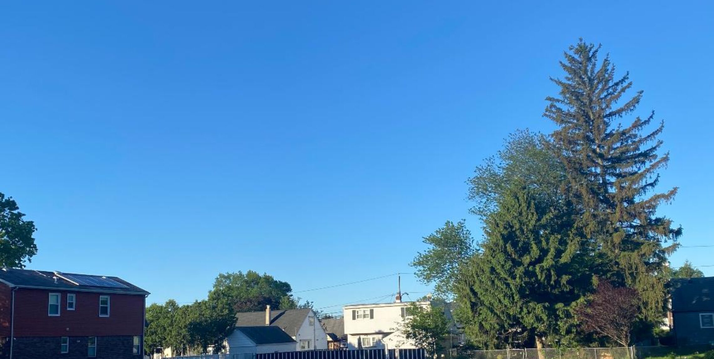
Lots of clouds around for Labor day but most areas will stary dry until tonight!


Yesterday there was no rain in Clifton but a few widely scattered showers did occur, for example Parsippany recorded .10″ in the early afternoon.
Today we had an early shower but most of the day it will be rain free although there will be lots of clouds around. It will be a little humid but temperatures should stay mainly in the 70s.
Remains of Isaac will affect our area tomorrow and Wednesday, it will be very humid along with a chance of torrential downpours that will cause flooding in some areas..
Thursday drier but very warm. At this point Friday into next weekend look dry with seasonable temperatures.

The forecast: Today, mostly cloudy with a chance of a morning shower, high in the upper 70s

Tonight: cloudy with a chance of showers and thunderstorms becoming more likely towards morning, low near 70.

Tuesday and Tuesday night, showers and thunderstorms, with some torrential downpours, very humid, high near 80.

Wednesday, showers and thunderstorms likely in the morning, with a chance of thunderstorms in the afternoon, mostly cloudy, high in the mid 80s.

Thursday, mostly sunny, high upper 80s.

Friday, mostly sunny, high mid 80s

Saturday and Sunday, partly sunny, highs near 80.

Marine Forecast: Today, east-southeast winds to 15 knots, seas around 3 feet.
Outlook Small craft advisories may be needed for high seas from Tropical Storm Leslie from Tuesday through the end of the week.

Have a happy and safe Labor Day!

More clouds and cooler for this Sunday!


Another hot day yesterday as temperatures hit 90 degrees, today with more clouds and an onshore wind flow high temperatures will be about 10 degrees cooler. Some of these higher clouds are from the remains of Isaac. Only a very slight chance of an afternoon shower but most places will stay dry. Shower chances increase later on Labor Day but most of the rain will hold off until Tuesday, some of this rain may be heavy at times. Wednesday and Thursday will be quite warm and humid with still a chance of thundershowers. Cooler and drier Friday into next weekend.

The forecast: partly sunny today and not as warm, slight chance of an afternoon shower, high near 80.

Tonight: mostly cloudy with a slight chance of a shower, low in the upper 60s.

Labor Day, partly sunny with a slight chance of a shower in the afternoon, high near 80, rain chances increase Monday evening..

Tuesday, Cloudy with showers and thunderstorms likely, humid, some of the rain may be heavy, high in the low 80s.

Wednesday, mostly cloudy with a chance of showers and thunderstorms, humid, highs in the mid 80s.

Thursday, partly sunny, quite warm and humid with a chance of showers and thunderstorms, highs in the upper 80s.

Friday, mostly sunny, cooler and less humid, high low 80s.

Saturday, mostly sunny, high near 80..

Marine Forecast: Today, east-southeast wind less than 10 knots, seas 2-3 feet..
Outlook: Small craft advisories may be needed from Tuesday through Friday for high swells over the open ocean from Tropical Storm Leslie.

Enjoy Sunday!

Warm start to September, hopefully we can keep all the rain away all weekend!


August was another above normal month, makes it 19 in a row of warmer than normal temperatures and as we start September the warmer weather will continue. Today will be a few degrees cooler than yesterday when it hit 91 degrees, the 30th 90 degree plus day of the season.. Sunday and Monday will be a little cooler still, there is only a slight chance of afternoon widely scattered showers on both days. Hopefully most of the rain will hold off till Tuesday when some of the remains of Isaac move into our area, it will become more humid also. Unsettled weather Wednesday through Friday with a front in our area.

The forecast: Today, mostly sunny, high in the upper 80s.

Tonight, mostly cloudy, low in the upper 60s.

Sunday, partly sunny with a slight chance of an afternoon shower, high around 80.

Labor Day, mostly cloudy with a chance of afternoon and evening showers and thunderstorms, high near 80.

Tuesday, cloudy with a good chance of showers and thunderstorms, high around 80.

Wednesday, partly sunny, high in the mid 80s.

Thursday and Friday, partly to mostly cloudy with a chance of showers, highs in the low 80s.

Marine Forecast: Today, north wind becoming east around 10 knots, seas around 2 feet.
Outlook: Best chance of small craft advisory conditions will be from Monday night into Wednesday morning.

Have a good start to the holiday weekend!

Hot for getaway day!


After another pleasant day on Thursday today will be hotter and may be the last 90 degree day of this hot summer, humidity levels will be moderate with dew points rising to the lower 60s.
Saturday a cold front will be slipping south of our area no precipitation and only a scattering of clouds, tomorrow will be not as warm but still with above normal temperatures. Hopefully we can get through the whole holiday weekend without any rain, most areas will stay dry with only a very slight chance of showers on Sunday afternoon and again Monday afternoon and evening.. Most of the showers will hold off until Tuesday.

The forecast: Today, Sunny and hot, high in the low 90s.

Tonight, partly cloudy, low in the upper 60s.

Saturday, sunny, highs in the mid-upper 80s.

Sunday, mostly sunny with a slight chance of an afternoon shower, high in the low 80s.

Monday, partly sunny, high near 80, chance of showers at night.

Tuesday, mostly cloudy, chance of showers, high in the low 80s.

Wednesday, mostly cloudy, chance of showers, high in the low 80s.

Thursday, partly sunny, high again in the low 80s.

Marine forecast: Today, west-southwest wind to 15 knots, seas 2 feet
Outlook, Small craft advisories may be needed for Monday night into Tuesday otherwise sub-advisory conditions through next Thursday…

Enjoy the weather.

Clear and cool morining, warmer this afternoon!


Yesterday was one of the most pleasant days of the summer with comfortable temperatures and quite low humidity. Today we start out cool with the low in the upper 50s but with plenty of sunshine temperatures will rise up into the mid 80s this afternoon, humidity will still stay on the low side. Friday will be downright hot with highs in the 90s with higher humidity as dew points rise to the mid 60s.. A backdoor cold front will come through late Friday night and Saturday will be cooler. The remains of Isaac should stay to our west and not affect our area until late Monday night into Tuesday, although there is a very slight chance of showers on Sunday and Monday but most areas will stay dry until Monday night..

The forecast: Today, sunny, high in the mid 80s.

Tonight, clear, not as cool as last night, low mid 60s.

Friday, sunny and hot with increasing humidity, high in the low-mid 90s.

Saturday, Sunny and cooler, high low 80s.

Sunday, partly cloudy with only a slight chance of an afternoon shower, highs in the low 80s.

Labor day, cloudy with showers developing at night, high around 80.

Tuesday, good chance of showers and thunderstorms, cloudy, high near 80.

Wednesday, sunny and pleasant, high low 80s.

Marine Forecast: Today, northwest wind becoming west around 10 knots, seas 2 feet.
Outlook, near small craft advisory levels from late tonight into Saturday morning and again Monday night into Tuesday, otherwise tranquil conditions will prevail.

Enjoy this nice late summer weather!