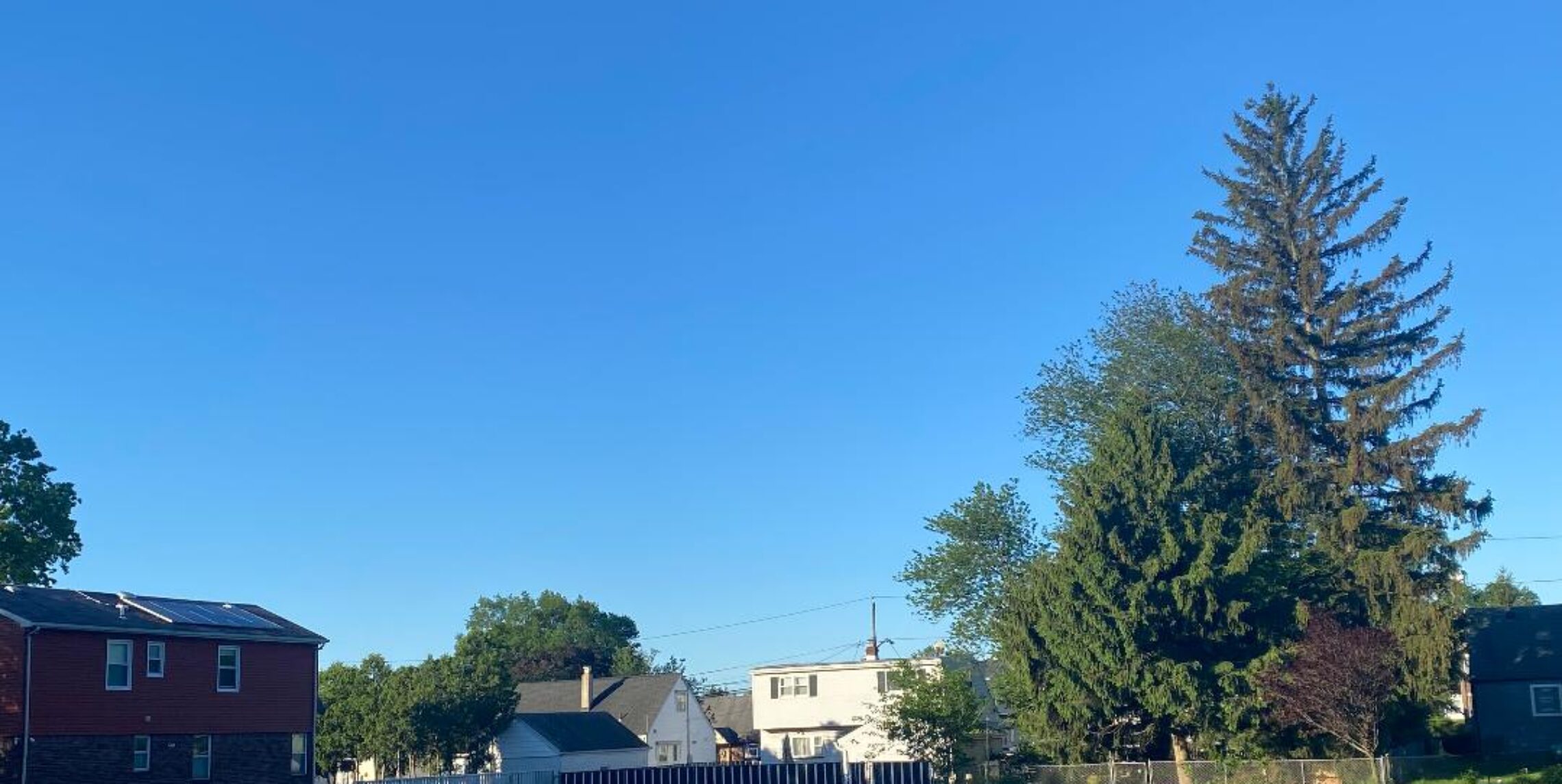
One of the best weather days of the summer today!


Showers preceded a cold front yesterday morning, I received .37″ of rain mostly coming from 6-7AM, the front was followed by much drier air, dew points dropped from the 70s to the 50s by evening… Today the dew points will even fall lower into the 40s with pleasant temperatures and a nice breeze.. Thursday will be a few degrees warmer and the humidity will stay on the low side. Now as we approach the weekend it will get hot and more humid, temperatures on Friday will be in the 90s and be near 90 on Saturday. Little cooler on Sunday and Monday, hopefully the moisture from Isaac stays to our west and we remain dry until Tuesday.

Hurricane Isaac is pounding the coast of Louisiana with hurricane wind gusts and torrential rain, the storm is only slowly moving northwestward and will be affecting this area most of the day..

The forecast: Today, sunny and pleasant, high near 80.

Tonight, clear and cool, low in the upper 50s.

Thursday, sunny, highs in the mid 80s.

Friday, sunny and hot and becoming a little more humid, high in the low 90s.

Saturday, mostly sunny, high near 90.

Sunday, mostly sunny, high in the low 80s.

Monday, partly cloudy, high in the low 80s.

Tuesday, mostly cloudy with a chance of showers and thunderstorms, high in the low 80s.

Marine forecast: Today, north wind to 10 knots, seas 1-2 feet.
Outlook, below advisory level conditions except for near small craft advisory conditions on Friday into Saturday morning.

Have a pleasant Wednesday!

Morning showers giving way to sunshine this afternoon!


Yesterday we dodged most of the heavy rain as I only recorded .21″ of rain, many places just to the north, west and south recorded more than an inch of rain..

Today a cold front is moving through this morning with a band of showers that are moving east and most of the rain will be out of this area by 8am. Sunshine will return this afternoon and it will become much less humid but stay warm.. Wednesday will be a refreshingly pleasant day with plenty of sunshine and very low humidity. Warming trend Thursday and by Friday temperatures will be approaching 90. As we go into the Labor Day weekend it will start out quite warm, looks as if most of the remains of Isaac will stay to the west of us although there may be some showers on Monday.

Meanwhile Isaac is only now approaching hurricane force and will move ashore near the New Orleans area. Torrential rains and some wind gusts to hurricane force will be felt there but thankfully it will not be anything close to the terrible damage caused by Katrina 7 years ago.

The forecast: Today, showers ending followed by clearing, less humid, highs mid 80s.

Tonight: mostly clear and comfortable, low in the lower 60s.

Wednesday, sunny with low humidity, high near 80.

Thursday, Sunny, high in the mid 80s.

Friday, sunny, quite warm and a little more humid, high near 90.

Saturday, sunny, high near 90.

Sunday, partly sunny, high in the mid 80s.

Monday, partly sunny with a chance of showers and thunderstorms, high in the low 80s.

Marine Forecast: Today, southwest wind becoming northwest around 12 knots, seas 3 feet.
Outlook, sub-advisory level conditions through the weekend except for near advisory level seas well offshore on the weekend.

Have a great day!

Some showers around today but most areas will stay dry!


Some showers this morning are weakening as they move into western sections of New Jersey, only a slight chance they will make it to our area.. Other scattered showers can occur this afternoon but we will also have partial sunshine so it may be an okay beach day. Showers are likely for tomorrow morning but skies should clear by the afternoon. Wednesday and Thursday look very pleasant with sunny skies and low humidity. Looks hot for Friday and Saturday.. Questions remain for Sunday and Monday as a cold front will be approaching that may have some of the moisture from them remains of Isaac.

Isaac this morning is only slowly intensifying as it heads towards the New Orleans area, right now it is supposed to come ashore in the Central Gulf as a strong category one hurricane but it is difficult to forecast intensity levels, that area doesn’t need another Katrina..

The forecast: Today, partly sunny with a chance of showers and thunderstorms, highs in the low 80s.

Tonight, mostly cloudy and humid with a chance of showers and thunderstorms, low around 70.

Tuesday, showers and thunderstorms likely in the morning then becoming mostly sunny, less humid, high in the upper 80s.

Wednesday, sunny, high around 80..

Thursday, mostly sunny, high in the low 80s.

Friday, Sunny, high near 90.

Saturday mostly sunny, high near 90..

Sunday, partly cloudy, slight chance of showers or thunderstorms, highs in the mid 80s.

Labor Day, partly cloudy with a chance of showers and thunderstorms, highs in the mid 80s.

Marine Forecast: Today, south winds to 12 knots, seas 3 feet..
Outlook, sub-advisory level conditions through Friday.

Enjoy your Monday!

Warm and dry Sunday, tropical storm Isaac heading for the Florida Keys!


High pressure over New England is keeping most of clouds and showers well south of the area so today will be a pleasantly warm day. More humid on Monday with shower and thunderstorm chances increasing that will be around the area until a cold front passes some time on Tuesday. Pleasant Wednesday and Thursday with low humidity, little warmer on Friday. So far the Labor Day weekend looks warm and humid with shower chances increasing late Saturday into Labor Day.

Tropical storm Isaac is just north of Cuba this morning expected to cross the Florida Keys and increase to hurricane strength, the storm will then move through the Gulf of Mexico and now the forecast for second landfall is around the Mississippi/Alabama border as a Category 2 storm.

The forecast: Today, mostly sunny, highs in the low-mid 80s.

Tonight, mostly cloudy, low mid 60s

Monday, mostly cloudy with a chance of afternoon and evening showers and thunderstorms, more humid, highs in the low-mid 80s.

Tuesday, mostly cloudy with a chance of showers and thunderstorms,humid, highs mid 80s,

Wednesday and Thursday, sunny and less humid, highs in the low 80s.

Friday, sunny, high upper 80s.

Saturday, mostly sunny, highs upper 80s.

Sunday and Monday, partly cloudy with chances of showers and thunderstorms, highs mid 80s.

Marine Forecast: Small craft advisory till 1pm for high seas, east wind around 12 knots, seas up to 5 feet this morning diminishing this afternoon.
Outlook – only chance of near advisory level conditions through this week would be Monday night into Tuesday, otherwise good boating conditions.

Enjoy the nice weather today!

More clouds today, hurricane warnings for South Florida!


Today a weak disturbance is off the North Carolina coast, this system is bringing clouds into our area, most of the rain however will only reach southern New Jersey. More sunshine on Sunday still with a slight chance of a shower. Better chance of showers ahead of a cold front Monday into Tuesday morning and more humid. Less humid Wednesday and Thursday. At this point the long range for the Labor Day weekend looks warm and dry.

Meanwhile Tropical Storm Isaac has moved off the Haiti coast and will be moving along the north coast of Cuba before moving into the Florida straights, hurricane warnings have been issued for South Florida as Isaac will move just off the west coast of Florida into the Gulf of Mexico, from there the storm is expected to reach the panhandle of Florida on Tuesday. None of the moisture is expected to affect our weather.

The forecast: Today, mostly cloudy with a slight chance of an afternoon shower, high in the low 80s.

Tonight, mostly cloudy, low in the mid 60s.

Sunday, mostly cloudy with again a slight chance of a shower, high in the low 80s.

Monday, mostly cloudy, more humid, chance of showers and thunderstorms, high low 80s.

Tuesday, mostly cloudy, with a chance of showers and thunderstorms, humid, high in the mid 80s.

Wednesday, mostly sunny, less humid, high low 80s.

Thursday, sunny, high mid 80s.

Friday, mostly sunny, warmer and more humid, high in the upper 80s.

Marine Forecast: Today, east to southeast wind around 10 knots, seas 2-3 feet.
Outlook, mainly sub-advisory level conditions, seas may increase to near advisory levels later today and Sunday mostly across the southern New Jersey waters..

Have a nice weekend!