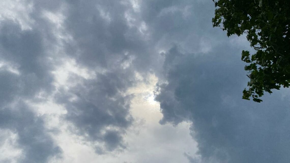
Dry and seasonably cool today! Chance of showers Saturday morning then dry and cool for the rest of the weekend! Warming trend next week!


FRIDAY  SEPTEMBER 29, 2017   5:42 A.M.

Skies are mostly clear early on this Friday morning and temperatures are finally more seasonable ranging from the low 50s in the Clifton area down to the low 40s further inland, winds are light and the humidity is low.

Today we should see plenty of sunshine, temperatures will be cool but there will be less wind than on Thursday.

A front will cross the area tomorrow morning giving us a chance of showers, the front will be followed by high pressure that will control the weather throughout the rest of the weekend.  High temperatures will only be in the 60s on Saturday and near 70 on Sunday.

Mainly dry weather with a warming trend next week.


THE FORECAST:

TODAY – SEP 29 – Sunny, high near 70.

TONIGHT – Increasing cloudiness with a chance of showers after midnight, low in the low 50s.

SATURDAY – SEP 30 – Partly sunny with a chance of showers and possibly a thunderstorm, high in the mid 60s.

SUNDAY – OCT 1 – Sunny, high near 70.

MONDAY – OCT 2 – Sunny, high in the mid 70s.

TUESDAY – OCT 3 – Sunny, high in the low 70s.

WEDNESDAY – OCT 4 – Sunny, high in the upper 70s.

THURSDAY – OCT 5 – Sunny, high in the low 80s.


MARINE FORECAST:  A small craft advisory is in effect until 2 p.m. this afternoon for northerly winds gusting to 25 knots and seas 3-6 feet. seas and winds decreasing late in the day.

OUTLOOK – No advisories expected during the day on Saturday; possible small craft conditions Saturday night; no advisories expected Sunday through Tuesday.


TROPICS:  Tropical storm Maria with top winds of 60 mph and Hurricane Lee with top winds of 75 mph are moving east to northeast away from any land areas.


Have a nice day!

Cooler, breezy and much less humid today! Mainly a dry and cool weekend likely! Above normal temperatures again next week!


THURSDAY  SEPTEMBER 28, 2017  5:45 A.M.

Skies are mostly cloudy early on this Thursday morning and it is quite warm and muggy, temperatures range from the low 70s in the Clifton area down to the low 60s further inland, winds are light.

A cold front is moving through the area this morning and this front will be followed by a brisk northerly flow of cooler and much drier air, dew  points that are in the low 70s this morning will drop to the 40s by this afternoon.  Temperatures  by this time Friday morning will be more than 20 degrees cooler than this morning’s readings.

A cool but dry day is expected for Friday.

Another cold front will cross the area early on Saturday morning with a low chance of a shower, the front will be followed by quite cool but dry weather as high pressure builds over the area, daytime highs will be only around 70 and overnight lows in the 40s are expected.

Dry weather with a warming trend next week, high temperatures by late next week could rise to the low 80s.


THE FORECAST:

TODAY – SEP 28 – Sunny, breezy and much less humid, high in the upper 70s.

TONIGHT – Clear and cool, low around 50.

FRIDAY – SEP 29 – Sunny, high near 70, chance of a shower late at night.

SATURDAY – SEP 30 – Mostly sunny, high in the upper 60s.

SUNDAY – OCT 1 – Sunny, high in the low 70s.

MONDAY – OCT 2 – Sunny, high in the low 70s.

TUESDAY – OCT 3 – Sunny, high in the mid 70s.

WEDNESDAY – OCT 4 – Mostly sunny, high near 80.


MARINE FORECAST:  A small craft advisory is in effect until 6 p.m. Friday evening.  Today – North wind to 35 knots, seas 7-10 feet, seas and winds diminishing late in the day.

OUTLOOK – No advisories are expected Friday night through Monday.


TROPICS:  Tropical storm Maria with top winds of 70 mph is moving east away from the U.S. mainland.  Hurricane Lee with top winds of 110 mph is in the middle Atlantic and is expected to more northeast and not affect any land area.


Have a nice day!

Another warm and humid day today! Cooler and much less humid on Thursday!


WEDNESDAY  SEPTEMBER 27, 2017  5:52 A.M.

Skies are partly cloudy early on this Wednesday morning and temperatures range from the upper 60s in the Clifton area down to around 60 further inland, the humidity is high and there is some patchy fog in some of the valleys.

Today will be partly sunny, warm and humid with high temperatures once again well up into the 80s.

A cold front will cross the area tomorrow morning and it should come through without any rain, the front will be followed by cooler and much less humid air, winds will be a little brisk in the afternoon.

Another cold front will cross the area Friday night into Saturday morning with only a slight chance of a shower.  The air behind the front is even cooler, daytime high temperatures for the weekend will be only around 70 with nighttime readings in the 40s, although these temperatures are only slightly below normal it will feel quite chilly after the warm weather we have had the last two weeks.


THE FORECAST:

TODAY – SEP 27 – Partly sunny and humid, high in the mid 80s.

TONIGHT – Mostly cloudy and muggy, low in the mid 60s.

THURSDAY – SEP 28 – Sunny, cooler and much less humid, high in the upper 70s.

FRIDAY – SEP 29 – Sunny, high in the low 70s.

SATURDAY – SEP 30 – Partly sunny, high in the upper 60s.

SUNDAY – OCT 1 – Sunny, high in the low 70s.

MONDAY – OCT 2 – Sunny, high in the low 70s.

TUESDAY – OCT 3 – Mostly sunny, high in the low 70s.


MARINE FORECAST:  A small craft advisory is in effect till 6 a.m. on Friday.  Today – Northeast winds gusting to 30 knots , seas 7-12 feet.  High chances of dangerous rip currents.

OUTLOOK – Advisories possible during the day on Friday with no advisories expected Friday night through Sunday.


TROPICS:  Maria is a strong tropical storm with top winds of 70 mph and is located about 150 miles east of Cape Hatteras,  Maria will move slowly north and then make a sharp turn out to sea on Thursday.    Hurricane Lee is in the middle of the Atlantic with top winds of 110 mph, Lee will remain well away from any land areas.


Have a good day!

Warm and humid weather to continue today and tomorrow! Less humid on Thursday! Much cooler over the weekend!


TUESDAY  SEPTEMBER 26, 2017  5:45 A.M.

We have partly cloudy skies early on this Tuesday morning and once again temperatures are well above normal, ranging from the upper 60s in the Clifton area down to around 60 further inland, winds are mainly calm and the humidity continues to be high.

We will have some low clouds early this morning that should dissipate by later this morning, temperatures will be a few degrees lower than yesterday but still be well above normal.

Warm and humid conditions will continue on Wednesday.

A cold front will come through during the day Thursday with somewhat cooler and much less humid air.

Another cold front will cross the area on Friday bringing in much cooler air for the weekend.

Most of the week will be dry with only a 20% chance of a shower Wednesday night and again on Saturday morning.


THE FORECAST:

TODAY – SEP 26 – Patchy fog this morning then becoming partly sunny, high in the mid 80s.

TONIGHT – Mostly cloudy, low in the upper 60s.

WEDNESDAY – SEP 27 – Partly sunny, high in the mid 80s.

THURSDAY – SEP 28 – Mostly sunny and much less humid, high in the upper 70s.

FRIDAY – SEP 29 – Sunny, high in the low 70s.

SATURDAY – SEP 30 – Mostly sunny, high in the upper 60s.

SUNDAY – OCT 1 – Sunny, high in the low 70s.

MONDAY – OCT 2 – Sunny, high in the low 70s.


MARINE FORECAST:  A small craft advisory is in effect for high seas until 6 a.m. Thursday morning.  Today – Northeast wind to 20 knots, seas 7-10 feet.  High chance of dangerous rip currents.

OUTLOOK – Advisories expected to continue until Friday with no advisories expected Friday night into Saturday.


TROPICS:  Maria is barely a hurricane with top winds of 75 mph, Maria is located about 225 miles southeast of Cape Hatteras.  Maria is expected to move north off the Carolina coast and then sharply turn out to sea.  High surf and rip currents will continue to pound the New Jersey beaches.    Hurricane Lee with top winds of 100 mph is out in the middle Atlantic ocean, Lee is not expected to affect any land areas.


Have a good day!


Warm and humid weather to continue through Wednesday! Fall like weather expected by the weekend!


MONDAY  SEPTEMBER 25, 2017  5:47 A.M.

Skies are mostly clear early on this Monday morning although there is some dense fog in some of the valleys, temperatures range from the low 70s in the Clifton area down to the upper 50s further inland, the humidity is high and the winds are mainly calm.

Today will be another quite warm and humid day, although temperatures may be a couple of degrees lower than yesterday readings will still approach record levels.

Not quite as warm on Tuesday as winds will be more off the ocean.

A cold front will cross the area Wednesday night possibly accompanied by some showers.

Another cold front will come through dry on Friday followed by more seasonable fall like temperatures for the weekend.


THE FORECAST:

TODAY – SEP 25 – Sunny, high in the upper 80s.

TONIGHT – Increasing clouds with some patch for, low in the upper 60s.

TUESDAY – SEP 26 – Morning fog then becoming partly sunny, high in the low 80s.

WEDNESDAY – SEP 27 – Partly sunny, high in the low 80s, chance of showers at night.

THURSDAY – SEP 28 – Mostly sunny, high near 80.

FRIDAY – SEP 29 – Mostly sunny, high in the low 70s.

SATURDAY – SEP 30 – Mostly sunny, high in the upper 60s.

SUNDAY – OCT 1 – Mostly sunny, high near 70.


MARINE FORECAST:  A small craft advisory is in effect till 6 a.m. on Wednesday.  Today – east winds gusting to 20 knots, seas 3-6 feet, wave heights increasing tonight.

OUTLOOK – Advisories expected to continue Wednesday and Thursday as Hurricane Maria moves off the Carolina coast.  Winds and seas lowering on Friday.


TROPICS:  Hurricane Maria has weakened with top winds of 80 mph, Maria is moving north and should brush the Outer Banks on Wednesday and then move well out to sea.   Hurricane Lee has top winds of 90 mph and is located in the middle of the Atlantic and is not expected to affect any land areas, just a fish storm.


Note: 40 years ago today I married my wonderful wife Joan, the weather was terrible with rain and a high temperature of only 56 degrees, but the wedding was great.


Have a nice day!