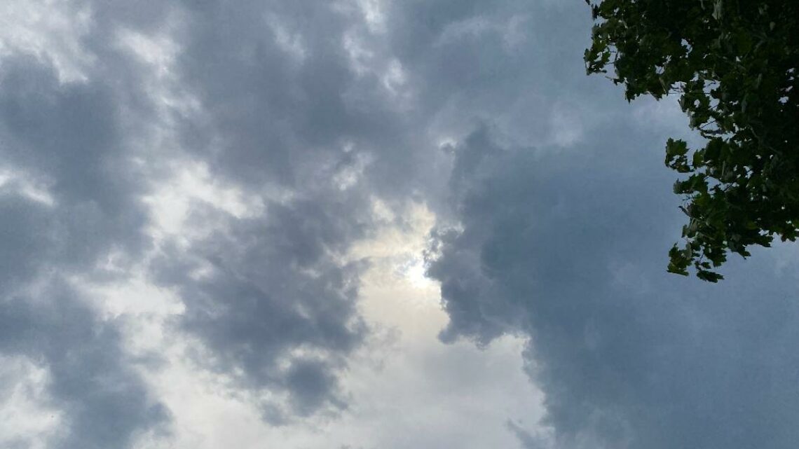
Cool and dry weekend! Milder next week with a chance of showers on Wednesday!


SATURDAY  SEPTEMBER 9, 2017. 6:17 A.M.

Skies are mostly clear early on this Saturday morning and it is rather cool with temperatures ranging from the low 50s in the Clifton area down to the middle 40s further inland, winds are light northerly.

High pressure located over the northern Great Lakes will build into our area giving us cool conditions with mostly clear skies through the weekend.

Still mostly sunny on Monday with milder temperatures.

Tuesday we should see an increase in clouds and a chance of showers at night extended into Wednesday as the weakening remains of Hurricane Irma moves into the area.

Fair weather with near normal temperatures Thursday and Friday.


THE FORECAST:

TODAY – SEP 9 – Sunny, high near 70.

TONIGHT – Mostly clear, low in the low 50s.

SUNDAY – SEP 10 – Sunny, high in the low 70s.

MONDAY – SEP 11 – Sunny, high in the upper 70s.

TUESDAY – SEP 12 – Increasing clouds, high in the upper 70s. Chance of rain at night.

WEDNESDAY – SEP 13 – Mostly cloudy with a chance of showers, high in the mid 70s.

THURSDAY – SEP 14 – Mostly sunny, high in the upper 70s.

FRIDAY – SEP 15 – Mostly sunny, high in the mid 70s.


MARINE FORECAST: A small craft advisory is in effect for high seas until 6 p.m. this evening; winds northerly to 15 knots today, seas 4 feet. There is a high risk of dangerous rip currents.

OUTLOOK: Small craft conditions possible Sunday through Wednesday.


TROPICS:  Hurricane Irma is along the northern coast of Cuba with top winds of 155 mph. Irma has weakened just a little due to the storm interacting with Cuba but it is expected to be a dangerous category four storm as it moves along the west coast of Florida.

Hurricane Jose is very close to the Leeward Islands with top winds of 150 mph, Jose is expected to move through the islands that were affected by Hurricane Irma and then weaken as it moves into the open Atlantic then move slowly or stall.

Katia has weakened to a tropical storm with top winds down to 40 mph as it moved inland into Mexico.


Have a nice weekend!


Continued cool and dry through early next week!


FRIDAY  SEPTEMBER 8, 2017. 6:55 A.M.

Our area has mostly clear skies and temperatures are cool ranging from the mid 50s in the Clifton area down to the mid 40s further inland, winds are mainly calm.

A weak cold front will cross the area this morning giving our area some clouds and a low chance of a shower inland, winds will become a little gusty from the northwest.

Canadian high pressure will dominate our weather on the weekend and into the day on Tuesday, temperatures will be seasonably cool.

The weakening remains of Hurricane Irma may give us showers from Tuesday night into Wednesday, it will be slightly milder and more humid.

Dry weather with near normal temperatures for the end of  next week.


THE FORECAST:

TODAY – SEP 8 – Mostly sunny, high in the mid 70s.

TONIGHT – Partly cloudy, low in the mid 50s.

SATURDAY – SEP 9 – Sunny, high in the low 70s.

SUNDAY – SEP 10 – Sunny, high in the low 70s.

MONDAY – SEP 11 – Mostly sunny, high in the mid 70s.

TUESDAY – SEP 12 – Mostly cloudy, high in the upper 70s, chance of showers at night.

WEDNESDAY – SEP 13 – Mostly cloudy with a chance of showers, high in the mid 70s.

THURSDAY – SEP 14 – Mostly sunny, high in the upper 70s.


MARINE FORECAST: TODAY – Winds westerly to 11 knots, seas building to 4-5 feet, a small craft advisory will be in effect for high seas from 2 p.m. this afternoon till 6 a.m. Saturday morning for high seas.

OUTLOOK – Possible small craft conditions for high seas Saturday through Tuesday.


TROPICS:  Hurricane Irma is moving through the Bahamas with top winds of 155 mph, Irma is expected to move to just north of Cuba and then turn north and through the Florida peninsula as a category 4.

Hurricane Jose is approaching the Leeward Islands with top winds of 125 mph, Jose is expected to move through the Leewards but stay offshore of the United States mainland.

Hurricane Katia is in the southwest Gulf of Mexico and is expected to move onshore into Mexico today.


Enjoy your day!

Mainly dry and cool today through early next week!


THURSDAY SEPTEMBER 7, 2017  6:49 A.M.

Skies are cloudy early on this Thursday morning and temperatures range from the upper 50s in the Clifton area down to the low 50s further inland, winds are light.

The cold front that gave the area rain yesterday will move well offshore today as high pressure builds into the area, we should see clearing this morning and it will be seasonably cool.

A weak front on Friday will likely come in dry with only a very slight chance of an afternoon shower.

High pressure will then build into the area for the weekend into early next week giving the area dry conditions with cooler than normal temperatures.

The weakening remains of Hurricane Irma may give us some rain on Wednesday.


THE FORECAST:

TODAY – SEP 7 – Partly sunny, high in the mid 70s.

TONIGHT – Mostly clear, low in the mid 50s.

FRIDAY – SEP 8 – Increasing cloudiness, high in the mid 70s.

SATURDAY – SEP 9 – Mostly sunny, high near 70.

SUNDAY – SEP 10 – Sunny, high in the low 70s.

MONDAY – SEP 11 – Mostly sunny, high in the mid 70s.

TUESDAY – SEP 12 – Mostly cloudy, high in the low 70s.

WEDNESDAY – SEP 13 – Mostly cloudy with a chance of showers and thunderstorms, high in the mid 70s.


MARINE FORECAST: TODAY – Westerly winds to 13 knots, seas 3 feet.

OUTLOOK – Possible small craft advisories for high seas, Friday through Monday.

TROPICS: Dangerous Hurricane Irma with top winds of 180 mph will approach the Bahamas today and is forecasted to move up the Florida east coast and then come onshore near the Georgia and South Carolina border, it should remain a category 4 or 5 until landfall.

Hurricane Jose with top wind of 90 mph is expected to approach the Leeward Islands which was devastated by Hurricane Irma yesterday.

Hurricane Katia is in the southwest Gulf of Mexico with top winds of 80 mph should affect the Mexico coast.


Try to have a good day !


Showers and cooler today and tonight! Dry and seasonably cool Thursday through the weekend!


WEDNESDAY SEPTEMBER 6, 2017. 6:47 A.M.

Skies are cloudy early on this Wednesday morning and there are some showers falling in parts of the area, temperatures are mild ranging from the upper 60s in the Clifton area down to the low 60s further inland, winds are mainly calm.

A slow moving cold front moving through the area today will give the area showers today and tonight, some of the rain may be heavy at times with a possible thunderstorm, temperatures will rise little from the present readings, an inch of rain is possible.

The front will move offshore and the rain should end by daybreak tomorrow morning followed by clearing and seasonably cool temperatures.

Dry weather is anticipated Friday through early next week and it will remain seasonably cool.


THE FORECAST:

TODAY SEP 6 – Cloudy with showers and possibly a thunderstorm, high around 70.

TONIGHT – Cloudy with showers and possibly a thunderstorm, low around 60.

THURSDAY SEP 7 – Becoming mostly sunny, high in the upper 70s.

FRIDAY SEP 8 – Mostly sunny, high in the mid 70s.

SATURDAY SEP 9 – Mostly sunny, high in the low 70s.

SUNDAY SEP 10 – Mostly sunny, high in the low 70s.

MONDAY SEP 11 – Sunny, high in the mid 70s.

TUESDAY SEP 12 – Partly sunny, high in the upper 70s.


MARINE FORECAST – A small craft advisory is in effect for high seas until 6 p.m. this evening, winds southwest to 6 knots, seas 4-6 feet.

OUTLOOK – Small craft advisories possible for high seas Thursday through Sunday.


TROPICS:  Dangerous Hurricane Irma with top winds of an amazing 185 mph is near the Leeward Islands and is expected to approach Florida by the weekend, latest forecast has the storm moving along Florida’s east coast and then come onshore near the Georgia and South Carolina border. Also Tropical Storm Jose has formed well out in the Atlantic and is expected to become a hurricane.


Have a nice day!


Warm and humid today with showers likely tonight! Showers continuing Wednesday into Thursday morning with cooler temperatures!


TUESDAY  SEPTEMBER 5, 2017  7:11 A.M.

Skies are mostly clear early on this Tuesday morning and it is milder and more humid than the last few mornings with readings ranging from the upper 60s in the Clifton area down to the middle 50s further inland, there is a light southwest wind.

Today will be a warm and humid day as high pressure moves offshore and a cold front approaches from the west. Showers and thunderstorms should develop mainly by this evening, some of these storms may be accompanied by strong gusty winds and heavy rain.

Showers will likely continue tomorrow into Thursday morning as the front slowly moves into the area along with cooler temperatures.

High pressure then moves into the area Thursday afternoon and dominate our weather through the weekend, temperatures will continue to be cool.


THE FORECAST:

TODAY SEP 5 – Mostly sunny, high in the upper 80s.

TONIGHT – Mostly cloudy with showers and possibly some thunderstorms, some storms may be accompanied by strong gusty winds and heavy rain, low in the upper 60s.

WEDNESDAY  SEP 6 – Cloudy with showers likely and possibly a thunderstorm, cooler with highs in the low 70s.

THURSDAY. SEP 7 – Cloudy with a chance of showers in the morning then becoming mostly sunny in the afternoon, high in the mid 70s.

FRIDAY. SEP 8 – Mostly sunny, high in the low 70s.

SATURDAY. SEP 9 – Sunny, high around 70.

SUNDAY. SEP 10 – Sunny, high in the low 70s.

MONDAY – SEP 11 – Sunny, high in the mid 70s.


MARINE FORECAST:  A small craft advisory is in affect till 6 a.m. on Wednesday morning for south to southwest wind gusting to 25 knots, seas 4-6 feet.

OUTLOOK – Small craft conditions possible Wednesday into Thursday morning; no advisories expected Thursday afternoon and night; possible advisories again possible Friday and Saturday.


TROPICS:  Dangerous Hurricane Irma is now approaching the Leeward Islands with winds up to 150 mph. Irma is forecasted to move just north of Cuba on Saturday and then move up the Florida peninsula on Sunday and move inland into the southeast states early next week and weaken.


Have a nice day! Continue reading