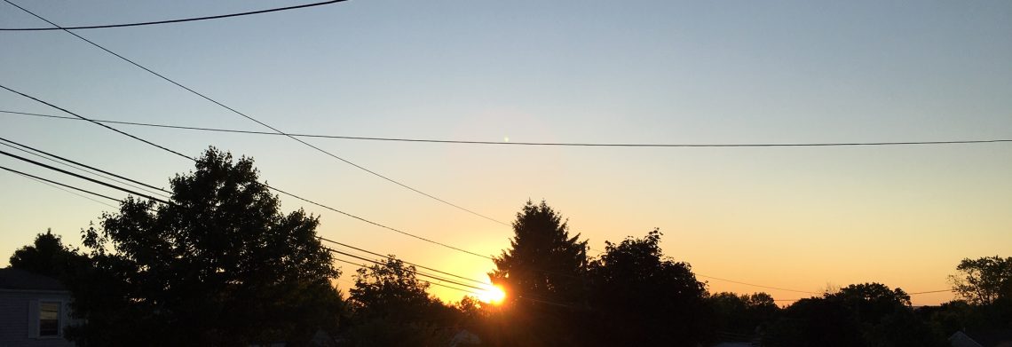
TUESDAY SEPTEMBER 5, 2017 7:11 A.M.
Skies are mostly clear early on this Tuesday morning and it is milder and more humid than the last few mornings with readings ranging from the upper 60s in the Clifton area down to the middle 50s further inland, there is a light southwest wind.
Today will be a warm and humid day as high pressure moves offshore and a cold front approaches from the west. Showers and thunderstorms should develop mainly by this evening, some of these storms may be accompanied by strong gusty winds and heavy rain.
Showers will likely continue tomorrow into Thursday morning as the front slowly moves into the area along with cooler temperatures.
High pressure then moves into the area Thursday afternoon and dominate our weather through the weekend, temperatures will continue to be cool.
THE FORECAST:
TODAY SEP 5 – Mostly sunny, high in the upper 80s.
TONIGHT – Mostly cloudy with showers and possibly some thunderstorms, some storms may be accompanied by strong gusty winds and heavy rain, low in the upper 60s.
WEDNESDAY SEP 6 – Cloudy with showers likely and possibly a thunderstorm, cooler with highs in the low 70s.
THURSDAY. SEP 7 – Cloudy with a chance of showers in the morning then becoming mostly sunny in the afternoon, high in the mid 70s.
FRIDAY. SEP 8 – Mostly sunny, high in the low 70s.
SATURDAY. SEP 9 – Sunny, high around 70.
SUNDAY. SEP 10 – Sunny, high in the low 70s.
MONDAY – SEP 11 – Sunny, high in the mid 70s.
MARINE FORECAST: A small craft advisory is in affect till 6 a.m. on Wednesday morning for south to southwest wind gusting to 25 knots, seas 4-6 feet.
OUTLOOK – Small craft conditions possible Wednesday into Thursday morning; no advisories expected Thursday afternoon and night; possible advisories again possible Friday and Saturday.
TROPICS: Dangerous Hurricane Irma is now approaching the Leeward Islands with winds up to 150 mph. Irma is forecasted to move just north of Cuba on Saturday and then move up the Florida peninsula on Sunday and move inland into the southeast states early next week and weaken.
Have a nice day!
