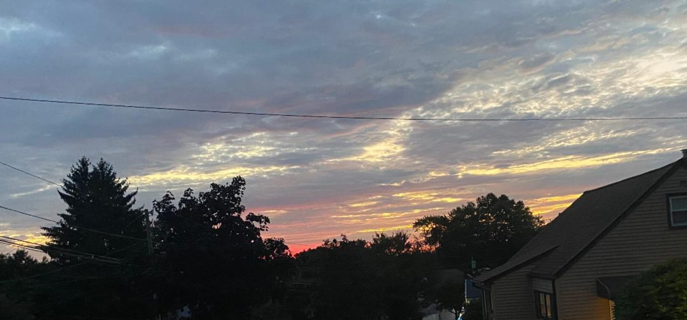
Mostly cloudy and milder today after some morning drizzle! Mild again on Wednesday! Possible east coast storm late Sunday!


Skies are cloudy early on this Tuesday morning and there continues to see some drizzle, temperatures range from the low 40s in Clifton to the upper 30s further inland, winds are from the northeast averaging 10 mph.

This morning we will have some lingering drizzle followed by some breaks in the clouds this afternoon, temperatures will be milder than yesterday with diminishing winds.

Considerable cloudiness tomorrow and on St. Patrick’s Day with a chance of afternoon showers both days, temperatures will be mild.

Cooler on Friday with another chance of a shower.

Even cooler over the weekend, Saturday will be sunny but a storm system may affect the area late Sunday into early Monday that may give us some rain along the coast and snow inland, too early for details as some computer models now taking the storm well out to sea, plenty of time to track this storm and its possible effect if any to our area so stay tuned.


THE FORECAST:

TODAY – Cloudy with some drizzle this morning then breaks of sun this afternoon, high in the upper 50s.

TONIGHT – Mostly cloudy, low in the mid 40s.

WEDNESDAY – Mostly cloudy with a chance of an afternoon shower, high in the low 60s.

THURSDAY – Mostly cloudy with a chance of an afternoon shower, high in the low 60s.

FRIDAY – Mostly cloudy and cooler, high in the low 50s.

SATURDAY – Sunny and cool, high in the upper 40s.

SUNDAY – Mostly cloudy with a chance of rain, high in the mid 40s, chance of rain or snow at night.

MONDAY – Mostly cloudy with a chance of rain or snow in the morning, high near 50.


MARINE FORECAST:  Small craft advisory in effect till 10 p.m. tonight for northerly winds to 25 knots, seas 5-8 feet.

OUTLOOK – No advisories expected Wednesday through Saturday.


Have a nice day!


A rainy and chilly Monday! Milder tomorrow with some early drizzle! Nice weather on Wednesday!


We have some light rain falling early on this Monday morning with temperature across the area mainly in the low to mid 40s, winds are from the northeast averaging 5-10 mph.

Today will be a cloudy and dreary day with periods of rain, temperatures will be chilly and remain in the mid 40s and with a rather brisk wind it will feel colder.

Tomorrow we will have a chance of lingering drizzle or light rain in the morning then partial clearing in the afternoon with milder temperatures.

Wednesday looks to be the nicest day of the upcoming week with plenty of sunshine and mild temperatures.

A cold front moving through the area may touch off some showers on St. Patrick’s Day.

Dry with seasonable temperatures Friday and Saturday.  A stronger low pressure system will give us a good chance of rain on Sunday.


THE FORECAST:

TODAY – Periods of rain, temperatures remaining in the mid 40s.

TONIGHT – Cloudy with periods of rain or drizzle, low in the low  40s.

TUESDAY – Cloudy with a chance of some lingering light rain or drizzle in the morning then partial clearing in the afternoon, not as cool with highs in the upper 50s.

WEDNESDAY – Partly sunny, high in the low 60s.

ST. PATRICK’S DAY – Mostly cloudy with a chance of showers, high in the upper 50s.

FRIDAY – Partly sunny, high in the mid 50s.

SATURDAY – Partly sunny, high in the low 50s.

SUNDAY – Mostly cloudy with a chance of rain, high in the mid 50s.


MARINE FORECAST:  Gale warning in effect till midnight tonight for easterly winds gusting to 40 knots, seas building to 6-9 feet.

OUTLOOK – Possible advisories for high seas on Tuesday with no advisories expected Wednesday through Friday.


Have a Happy Pi Day!

Increasing clouds and mild today! Rainy, windy and chilly day on Monday!


Skies are mostly cloudy early on this Sunday morning and temperatures are mild ranging from the upper 40s here in Clifton to the upper 30s in some inland areas, winds are nearly calm.  I hope everyone set their clocks ahead, it is nice that sunset this evening will be around 7 p.m.

Today we will have mostly cloudy skies and it will be mild with highs near 60, winds will be light.

A storm system will move to our south on Monday which will cause rain beginning before daybreak, it will be windy and quite chilly with highs only reaching the low 40s as we will have a brisk easterly wind off the cold ocean.   Rainfall amounts will average from 1/2 to one inch.

Some lingering light rain or drizzle on Tuesday but it will be milder with less wind.

Wednesday looks to be the best day of this week with sunshine and temperatures in the 60s.

A weak cold front will cross the area on Thursday possibly giving us some showers.

At this point Friday and Saturday look dry with slightly above normal temperatures.


THE FORECAST:

TODAY – Increasing cloudiness, high near 60.

TONIGHT – Cloudy with rain developing before daybreak, low near 40.

MONDAY – Rain, breezy and quite chilly, high only in the low 40s.

TUESDAY – Mostly cloudy with a chance of morning light rain or drizzle, high in the upper 50s.

WEDNESDAY – Partly sunny, high in the mid 60s.

THURSDAY – Mostly cloudy with a chance of showers, high near 60.

FRIDAY – Partly sunny, high in the upper 50s.

SATURDAY – Mostly sunny, high in the mid 50s.


MARINE FORECAST:   TODAY – North wind to 8 knots seas 1 foot.

OUTLOOK – Small craft advisory will be in effect from 11 p.m. tonight till 8 a.m. on Monday with a gale watch from 8 a.m till midnight on Monday night. Possible advisories extending into Tuesday.


Have a nice day!


Pleasantly mild and mainly dry weekend! Chilly with rain on Monday!


Skies are mostly clear early on this Saturday morning and temperatures are seasonably cool ranging from the mid 30s here in Clifton to some mid 20s in some of the inland valleys, winds are light.

High pressure will be in control of our weather today and after a cool morning temperatures will rise to above the 60 degree mark with plenty of sunshine.

Another nice day on Sunday with mild temperatures but we should see some increasing cloudiness later in the day with rain developing after midnight.

Monday will be a rather dreary day with rain and with cloudy skies and on onshore northeast wind temperatures will be in the chilly 40s.

Not as cool on Tuesday but we may see some lingering light rain or drizzle especially in the morning.

Wednesday looks to be the best day of this upcoming week with partly sunny skies and temperatures in the 60s.

Unsettled weather toward the end of the week with temperatures a little above normal.


THE FORECAST:

TODAY – Sunny, high in the low 60s.

TONIGHT – Partly cloudy, low in the low 40s.

SUNDAY – Partly sunny, high in the low 60s, rain developing after midnight.

MONDAY – Rain and cool, high only in the mid 40s.

TUESDAY – Mostly cloudy with a chance of light rain or drizzle, high in the upper 50s.

WEDNESDAY – Partly sunny, high in the mid 60s.

THURSDAY – Partly sunny with a chance of showers, high in the low 60s.

FRIDAY – Partly sunny, high in the upper 50s.


MARINE FORECAST:  TODAY – South-southwest wind to 10 knots, seas 1 foot.

OUTLOOK – No advisories expected during the day on Sunday with advisories likely Sunday night into Monday night, advisories possible for Tuesday.


Don’t forget to set your clocks ahead tonight as Daylight Saving Time begins at 2 a.m.

Have a good day!

Mainly dry and mild weather today through the weekend!


Skies are cloudy early on this Friday morning and there is some light rain falling in some areas, temperatures are still very mild with readings in the mid 50s here in Clifton to around 50 in some inland spots, these temperatures are about 25 degrees warmer than normal.

A weak cold front has moved through the area overnight and clouds and showers will give way to mostly sunny skies, it will continued to be mild with highs in the 60s as we go from the incredibly warm June like temperatures to more readings typical of late April.

Tonight will be cooler with lows dropping into the 30s but temperatures will rebound tomorrow along with plenty of sunshine and temperatures in the low 60s.

Increasing clouds on Sunday with continued mild temperatures, rain is likely after midnight.

Monday looks to be a chilly and rainy day with highs mostly in the 40s, which is only slightly below normal for mid-March.

Some showers possible on Tuesday with dry weather likely Wednesday and Thursday, temperatures will again rise to above normal levels..


THE FORECAST:

TODAY – Early morning rain and clouds will give way to mostly sunny skies, highs in the mid 60s.

TONIGHT – Mostly clear and cooler, low in the mid 30s.

SATURDAY – Sunny, high in the low 60s.

SUNDAY – Increasing cloudiness, high in the low 60s.

MONDAY – Rain likely, cooler, high near 50.

TUESDAY – Mostly cloudy with a chance of showers, high in the low 60s.

WEDNESDAY – Partly sunny, high in the upper 60s.

THURSDAY – Partly sunny, high near 60.


MARINE FORECAST:  TODAY – Small craft advisory in effect till 6 p.m. this evening for northwest winds gusting to 25 mph diminishing this afternoon, seas 4-6 feet.

OUTLOOK – No advisories expected Saturday through Monday with advisories possible on Tuesday.


Have a good day!