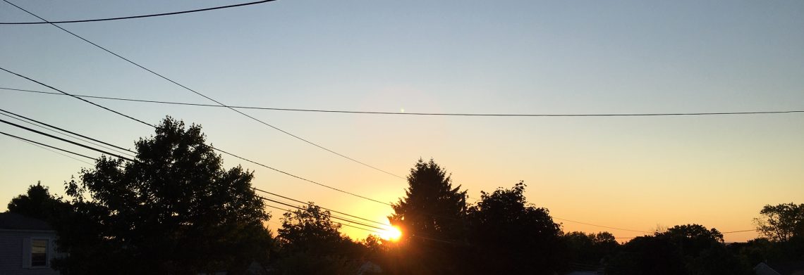
Great summer weather today into the weekend!


At daybreak this morning we have mostly cloudy skies, temperatures are in the upper 60s and winds are light.

Today will be partly sunny, there is a slight risk of a brief shower but most places will remain dry, temperatures and humidity will be slightly lower than the last couple of days.

Another nice weekend is in store for our area with plenty of sunshine, seasonably warm temperatures and rather low humidity.  This will be the fourth weekend in a row of fantastic weather.

Warmer and more humid weather through at least Wednesday with a good chance of showers and thunderstorms Tuesday through Thursday.

A cold front will cross the area on Thursday and at this time it looks to be a cooler and less humid Independance Day.


THE FORECAST:

TODAY – Partly sunny, high in the low 80s.

TONIGHT – Mostly clear, low around 60.

SATURDAY – Sunny, high in the low 80s.

SUNDAY –  Sunny, high in the low 80s.

MONDAY – Partly sunny, more humid, high in the mid 80s.

TUESDAY – Partly sunny and humid with a chance of showers and thunderstorms, high in the upper 80s.

WEDNESDAY – Mostly cloudy and humid with a chance of showers and thunderstorms, high in the upper 80s.

THURSDAY – Mostly sunny with a chance of a shower, high in the mid 80s.


MARINE FORECAST:  TODAY – East-northeast wind becoming east in the afternoon to 13 knots, seas 2-3 feet.

OUTLOOK – Sub-advisory level conditions to continue into early next week.


Enjoy this nice summer weather!

Warm Thursday and a little less humid; Beautiful weather again for the weekend!


Skies have become partly cloudy in the Clifton area at daybreak, temperatures are in the upper 60s, humidity is a little lower than yesterday but still rather muggy.  Overnight we received just under an inch of rain from the heavy showers that moved through.

Today will be warm and slightly less humid than yesterday.

On Friday there is a risk of an afternoon shower but most area will stay dry, temperatures and humidities will be lower than today.

Another great weather weekend is in store for the area with seasonably warm temperatures and low humidity.

Warmer and more humid weather for at least the first have of next week with chances of showers and thunderstorms each day but no widespread rainfall is expected.


THE FORECAST:

TODAY – Partly sunny, high in the upper 80s.

TONIGHT – Mostly cloudy, low in the upper 60s.

FRIDAY – Partly sunny with a chance of an afternoon shower, high in the low 80s.

SATURDAY – Mostly sunny, high in the low 80s.

SUNDAY – Mostly sunny, high again in the low 80s.

MONDAY – Partly sunny with a chance of showers, more humid, high in the mid 80s.

TUESDAY – Partly sunny with a chance of showers and thunderstorms, high in the upper 80s.

WEDNESDAY – Partly sunny, chance of showers and thunderstorms, high in the upper 80s.


MARINE FORECAST:   TODAY – Northwest wind to 6 knots, seas 2 feet.

OUTLOOK – Sub-advisory level conditions to continue through the weekend.


Have a good Thursday!


Warm and humid Wednesday with showers likely late in the day and tonight!


We have partly cloudy skies at daybreak this morning, temperatures and humidity are higher than the last few mornings, temperatures are in the upper 60s.

Today will be warm and humid, showers and thunderstorms will likely hold off until this evening and likely will continue overnight, some of the rain may be heavy.

Showers chances will persist through at least Thursday morning as a cold front moves through, it will become slightly less humid later in the day.

High pressure will build into the area on Friday giving us plenty of sunshine, seasonably warm temperatures and lower humidity.

Another beautiful summer weekend is likely with continued warm temperatures, plenty of sunshine and reasonably low humidity.

Warmer and more humid as we begin next week and we should stay rainfree.


THE FORECAST:

TODAY – Mostly cloudy, more humid with a chance of showers late in the day, high in the mid 80s.

TONIGHT – Cloudy and humid with showers and thunderstorms likely, some rain may be heavy, low around 70.

THURSDAY – Mostly cloudy with a chance of showers mostly in the morning, high in the mid 80s.

FRIDAY – Mostly sunny and less humid, high in the mid 80s.

SATURDAY – Sunny, high in the low 80s.

SUNDAY – Mostly sunny, high in the mid 80s.

MONDAY – Mostly sunny, high in the upper 80s.

TUESDAY – Partly sunny, high in the upper 80s.


MARINE FORECAST:    TODAY – South wind to 14 knots, seas 3 feet.

OUTLOOK – Sub-advisory level conditions likely to continue through the weekend.


Have a good day!

Mostly sunny and dry Tuesday; Showers and more humid on Wednesday!


It is mostly clear at daybreak this morning and temperatures range from the low 60s in the Clifton area to the 50s inland, winds are light.

Another warm day is on tap for today with sunshine filtered by some high clouds at times, humidity will only slowly rise.

On Wednesday there is a good chance of showers and thunderstorms as a cold front approaches from the west, it will be warm and more humid, the best chance of showers will be in the afternoon and Wednesday night.

After some morning showers on Thursday we should see some afternoon sunshine, it will remain warm and a little less humid.

Seasonably warm weather on Friday with moderate humidity, skies will be partly cloudy.

Still looks like a nice weekend coming up with partly to mostly sunny skies, seasonably warm temperatures and still only moderate humidity.


THE FORECAST:

TODAY – Partly sunny, high in the mid 80s.

TONIGHT – Mostly cloudy, low in the mid 60s.

WEDNESDAY – Mostly cloudy with a good chance of showers and thunderstorms mostly in the afternoon and at night, humid, high in the mid 80s.

THURSDAY – Mostly cloudy with a chance of morning showers and thunderstorms, high in the mid 80s.

FRIDAY – Partly sunny, little less humid, high in the low 80s.

SATURDAY – Partly sunny, high in the low 80s.

SUNDAY – Mostly sunny, high in the low 80s.

MONDAY – Mostly sunny, high in the low to mid 80s.


MARINE FORECAST:  TODAY – Southerly winds to 12 knots, seas 2 feet.

OUTLOOK – Below advisory level condition should continue through the weekend.


Have a wonderful day!


Comfortably warm weather to start off the work week!


Skies are mostly clear in the area early this morning, temperatures are near 60 degrees in the Clifton area to the 50s inland, winds are quite light.

The seasonably warm weather of the weekend will continue today with mostly sunny skies, light winds and still comfortable humidity.

Clouds will increase on Tuesday along with higher humidity late in the day as a frontal system approaches from the west.

Wednesday looks to be a more humid day and overcast with a good chance of showers and thunderstorms.

Showers may persist on Thursday along with considerable cloudiness.

Dry weather with seasonably warm temperatures Friday with lower humidity.

At this point it looks like we will continue the streak of nice weekend weather, temperatures will continue to be seasonably warm with low to moderate humidity.


THE FORECAST:

TODAY – Sunny, high in the low 80s.

TONIGHT – Partly cloudy, low in the low 60s.

TUESDAY – Increasing cloudiness, more humid by late in the day, high in the low 80s.

WEDNESDAY – Cloudy with a chance of showers and thunderstorms, high in the low 80s.

THURSDAY – Mostly cloudy with a chance of showers, high in the low 80s.

FRIDAY – Mostly sunny, high in the low 80s.

SATURDAY – Sunny, high in the low 80s.

SUNDAY – Mostly sunny, high again in the low 80s.


MARINE FORECAST:  TODAY – Variable winds less than 5 knots this morning becoming southerly up to 10 knots this afternoon, seas 1 foot.

OUTLOOK – Possible small craft advisories Wednesday night otherwise sub-advisory level conditions this week.


Have a good day!