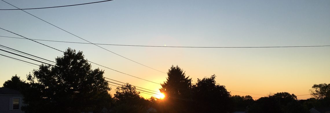
Continued nice weather for the first full day of summer; Next chance of rain will be on Wednesday!


Skies are mostly clear at daybreak this morning with temperatures around 60 degrees in the Clifton area, humidity is still low and winds are light.

Another nice day today with sunshine, light winds and reasonably low humidity, highs will be around the 80 mark.

Sunny and dry again on Monday with slightly higher temperatures.

Humidity will start to rise by Tuesday but we should remain dry and warm.

The next chance of rain will be on Wednesday as a cold front approaches the area, it will be warm and humid and some of the thunderstorms could be heavy.

The cold front will clear the area on Thursday with the return of dry weather, humidity should be a little lower but temperatures will remain warm.

Warm and dry conditions should continue to end the week.


THE FORECAST:

TODAY – Mostly sunny, high near 80.

TONIGHT – Partly cloudy, low in the upper 50s.

MONDAY – Sunny, high in the low 80s.

TUESDAY – Partly sunny, high in the low 80s.

WEDNESDAY – Mostly cloudy with a good chance of showers and thunderstorms, high in the mid 80s.

THURSDAY – Mostly sunny, high in the mid 80s.

FRIDAY – Mostly sunny, high in the mid 80s.

SATURDAY – Partly sunny, high again in the middle 80s.


MARINE FORECAST:  TODAY – East-northeast wind becoming east-southeast this afternoon to 9 knots, seas 1 foot or less.

OUTLOOK – Sub-advisory level conditions to continue this week.


Have a good day!

Pleasant weather for the beginning of summer!


A pleasant start of the day as temperatures are in the upper 50s in the Clifton area to some upper 40s in the coolest area of Northwest New Jersey, skies are clear, winds are light and the humidity is low.

Summer begins at 6:51 this morning and it will be a very pleasant start to the season with plenty of sunshine and low humidity, temperatures will be a little below normal for this time of year topping off in the upper 70s.

Gorgeous weather will continue on Sunday, it will be mostly sunny with continued low humidity, temperatures should be a couple of degrees warmer than on Saturday.

As we head into the workweek the dry weather will continue on Monday and most of Tuesday, temperatures will be seasonably warm and humidity will only slowly rise.

Shower chances with higher humidity Tuesday night into Thursday with the best chance of showers on Wednesday.

Dry weather should return on Friday with lower humidity and seasonable warm temperatures.

Looking at the latest long range computer models the next heat wave may occur the last couple days of June into the first few days of July.


THE FORECAST:

TODAY – Mostly sunny, high in the upper 70s.

TONIGHT – Partly cloudy, low around 60.

SUNDAY – Mostly sunny, high in the low 80s.

MONDAY – Mostly sunny, high in the low 80s.

TUESDAY – Partly sunny, high in the low 80s, chance of showers and thunderstorms at night.

WEDNESDAY – Partly sunny with a chance of showers and thunderstorms, more humid, high in the mid 80s.

THURSDAY – Partly sunny with a chance of showers and thunderstorms, high in the mid 80s.

FRIDAY – Mostly sunny, less humid, high in the low 80s.


MARINE FORECAST:   TODAY – North-northeast wind becoming easterly this afternoon to 11 knots, seas 1-2 feet.

OUTLOOK – Sub-advisory level conditions continuing through next Tuesday.


Happy Solstice!

Outstanding weather today through the weekend!


We have clear skies at daybreak this last full day of spring, temperatures in Clifton have dropped to the upper 50s.

Today will be a top 10 weather day with plenty of sunshine, low humidity and seasonably warm temperatures.

The pleasant weather will extend as summer begins at 6:51am on Saturday, temperatures may be a couple of degrees cooler than today due to a light onshore wind.

Sunday will continue to feature plenty of sunshine and highs around 80, humidity will still be on the low side.

Dry and pleasant weather early next week.

Humidity will start to rise Tuesday night through Thursday along with a chance of showers and thunderstorms, temperatures will be seasonably warm.


THE FORECAST:  TODAY – Sunny, high in the low 80s.

TONIGHT – Partly cloudy, low around 60.

SATURDAY – Mostly sunny, high in the upper 70s.

SUNDAY – Mostly sunny, high near 80.

MONDAY – Mostly sunny high in the low 80s.

TUESDAY – Partly sunny, high in the low 80s, chance of showers and thunderstorms at night.

WEDNESDAY – Mostly cloudy with a chance of showers and thunderstorms, high in the low 80s.

THURSDAY – Partly sunny, high in the mid 80s.


MARINE FORECAST:  TODAY – Winds north-northwest up to 10 knots becoming light and variable this afternoon, seas 2 feet.

OUTLOOK – Sub-advisory level conditions through early next week.


Have a good day!

Cooler Thursday with some showers around; Pleasant weather Friday through the weekend!


Skies are cloudy in the Clifton area at daybreak this morning, there were some showers mostly to our north across the Hudson Valley, temperatures are in the upper 60s.

Temperatures today will be much cooler than the last couple of days with highs only reaching the upper 70s, there is a chance of some light showers this morning but looking at the radar it appears most of the precipitation will be to our north.

Pleasantly warm on Friday with plenty of sunshine and low humidity.

Another splendid weekend for our area as high pressure will be in control of the weather, mostly sunny days with comfortable temperatures and humidity.

Dry weather with pleasant temperatures now looks to extend into early next week with the next chance of showers holding off till around Wednesday.


THE FORECAST:

TODAY – Mostly cloudy with a chance of morning showers, high in the upper 70s.

TONIGHT – Becoming mostly clear and comfortably cool, low in the upper 50s.

FRIDAY – Sunny, high in the low 80s.

SATURDAY – Mostly sunny, high in the upper 70s.

SUNDAY – Mostly sunny, high near 80.

MONDAY – Mostly sunny, high in the low 80s.

TUESDAY – Mostly sunny, high in the low 80s.

WEDNESDAY – Partly sunny with a chance of showers and thunderstorms, high in the low 80s.


MARINE FORECAST:  TODAY – Northeast wind to 11 knots, seas 2 feet.

OUTLOOK – Sub-advisory level conditions expected to continue through Tuesday.


Have a good day!

A hot hump day!


A very warm start of the day as temperatures at daybreak are in the upper 70s in the Clifton area, skies are partly cloudy.

Today will be another hot day with temperatures again reaching the lower 90s, humidity will be a little lower than yesterday and there will be more of a westerly breeze, skies will be mostly sunny.

A cold front will cross the area Thursday morning with a chance of thunderstorms from about  3 to 10am, the front will be followed by slightly cooler and much less humid air by the afternoon.

Friday will be an outstanding day for the last full day of spring with seasonably warm temperatures, very low humidity and plenty of sunshine.

We are going with a dry forecast for the weekend at the present time with temperatures a little below normal.

Unsettled weather to start next week with a chance of showers on Monday and Tuesday, temperatures will be seasonable.


THE FORECAST:

TODAY – Mostly sunny, high in the low 90s.

TONIGHT – Mostly cloudy with a chance of showers and thunderstorms after 3 am, low in the upper 60s.

THURSDAY – Chance of morning showers and thunderstorms then becoming partly sunny and less humid, high in the upper 80s.

FRIDAY – Sunny, high in the low 80s.

SATURDAY – Partly sunny, high in the upper 70s.

SUNDAY – Mostly sunny, high in the upper 70s.

MONDAY – Partly sunny with a chance of showers and thunderstorms, high near 80.

TUESDAY – Partly sunny with a chance of showers and thunderstorms, high in the low 80s.


MARINE FORECAST:  TODAY – West-northwest wind to 12 knots, seas up to 2 feet.

OUTLOOK – Sub advisory level conditions to continue through Sunday.


Have a good day!