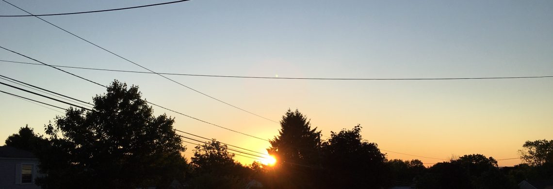
Great weather for the first weekend in June!


Skies are mainly clear early this morning with temperatures ranging from some upper 40s inland to the upper 50s in the Clifton area, winds are light and the humidity remains low.

Today we will have plenty of sunshine and it will be warmer than the last couple of days with temperatures reaching the mid 80s, humidity levels will still remain low.

The beautiful early June weather will continue on Sunday with only a slight increase in humidity.

Unsettled weather for the upcoming workweek with chances of showers, timing of the rain this far out is difficult but at this point the best chances of rain will be Monday afternoon into Tuesday and then again on Friday.  Nighttime temperatures will be mild and daytime highs will be seasonably warm, humidity will slowly rise but not be unbearable.


THE FORECAST:

TODAY – Sunny, high near in the mid 80s.

TONIGHT – Clear, low around 60.

SUNDAY – Sunny, high in the mid 80s.

MONDAY – Mostly cloudy with a chance of afternoon and evening showers and thunderstorms, high in the upper 70.

TUESDAY – Cloudy with a chance of showers, high in the mid 70s.

WEDNESDAY – Mostly cloudy, high near 80.

THURSDAY – Mostly cloudy, high in the upper 70s.

FRIDAY – Partly sunny with a chance of showers, high in the upper 70s.


MARINE FORECAST:   TODAY – North-northwest wind this morning becoming east-northeast to 7 knots, seas 2 feet.

OUTLOOK – Advisories possible Monday and Tuesday otherwise below advisory level conditions can be expected.


Have a great day!


Warm and dry today through the weekend!


Skies are partly cloudy in the Clifton area this morning, temperatures range from the upper 50s in the Clifton area to the low 50s further inland, humidity is low.

Plenty of sunshine today with continued low humidity, afternoon high temperatures will approach the 80 degree mark.

Dry weather with slightly warmer temperatures for the weekend, humidity will only slowly rise.

Unsettled weather most of next week as a front will be in our area, shower chances will increase along with the humidity, best chances of some rain will be Monday and Tuesday and then again on Thursday.


THE FORECAST:

TODAY – Mostly sunny, high near 80.

TONIGHT – Mostly clear, low in the upper 50s.

SATURDAY – Sunny, high in the mid 80s.

SUNDAY – Mostly sunny, high in the mid 80s.

MONDAY – Mostly cloudy, chance of showers and thunderstorms, high in the upper 70s.

TUESDAY – Partly sunny, chance of showers and thunderstorms, high in the upper 70s.

WEDNESDAY – Partly sunny, high near 80.

THURSDAY – Partly sunny, chance of showers and thunderstorms, high in the upper 70s.


MARINE FORECAST:  TODAY – Northwest wind to 12 knots, seas 2 feet.

OUTLOOK – Sub-advisory level conditions expected Saturday through Tuesday.


Enjoy this nice early June weather!

Great weather after today’s rain!


We have light rain falling in the Clifton area this morning, the rain started shortly before 2AM and as of 6AM we received about .20 of rainfall.  Temperatures range from the low 60s in Clifton to the upper 50s further inland and it is quite muggy.

We will continue to have light to moderate rain this morning tapering off to an occasional shower this afternoon, expect another half inch of rainfall,  some sunshine is possible by late in the day and temperatures will reach the mid 70s.

Tonight will be mostly clear and a little cooler and much less humid.

Tomorrow will be an excellent late spring day with plenty of sunshine, seasonably warm temperatures and low humidity.

The weekend looks great weather wise with plenty of sunshine, temperatures will be a little warmer and the humidity will slowly increase.

Unsettled weather as we start the new work week with chance of showers both Monday and Tuesday, temperatures will continue to be on the warm side with moderate humidity levels.


THE FORECAST:

TODAY – Rain this morning with a chance of showers this afternoon, high in the mid 70s..

TONIGHT – Partly cloudy, less humid, low in the mid 50s.

FRIDAY – Mostly sunny, low humidity, high near 80.

SATURDAY – Sunny, high in the mid 80s.

SUNDAY – Mostly sunny, high in the mid 80s.

MONDAY – Mostly cloudy with a chance of showers and thunderstorms, high near 80.

TUESDAY – Partly sunny with a chance of showers and thunderstorms, high in the low 80s.

WEDNESDAY – Partly sunny, high in the low 80s.


MARINE FORECAST:  TODAY – Northeast winds this morning to 10 knots becoming northerly to 13 knots this afternoon, seas 3 feet.

OUTLOOK – Sub advisory level conditions expected through the weekend.


Have a good day!


Pleasantly warm Wednesday; Rain on Thursday!


With partly cloudy skies early this morning temperatures over most of the area are in the low 60s with rather high humidity.

Today we will experience plenty of sunshine, it will be warm but not as warm and humid as it was yesterday.

A storm system will approach the area tonight with rain developing late tonight and extend to at least Thursday morning, rain may be heavy at times with about of inch of rainfall expected with locally higher amounts.  The rain will taper off and end as showers in the afternoon.  With the clouds and an onshore wind high temperatures will only be in the low 70s.

Very nice weather will prevail Friday into the weekend with seasonably warm temperatures and plenty of sunshine.

A cold front will be crossing the area on Monday with showers followed by a dry and seasonably warm Tuesday.


THE FORECAST:

TODAY:  Mostly sunny, high in the low 80s.

TONIGHT – Increasing cloudiness with showers and possibly a thunderstorm developing by 3am, low in the low 60s.

THURSDAY – Showers and possibly a thunderstorm in the morning, rain may be heavy at times in the morning, chance of showers in the afternoon, high in the low 70s.

FRIDAY – Mostly sunny, high near 80.

SATURDAY – Sunny, high in the low 80s.

SUNDAY – Mostly sunny, high in the low to mid 80s.

MONDAY – Mostly cloudy with a chance of showers and thunderstorms, high near 80.

TUESDAY – Mostly sunny, high near 80.


MARINE FORECAST:   TODAY – North-northwest wind becoming easterly to 8 knots, seas 2 feet.

OUTLOOK – Sub-advisory level conditions anticipated Thursday though the weekend.


Have a good day!


Showers and thunderstorms likely this afternoon and tonight!


Early this Tuesday morning skies are mostly clear, temperatures range from the low 60s in the Clifton area to some 50s further inland.

Clouds will increase this morning as a cold front approaches from the west, showers and thunderstorms will move into the area this afternoon and continue tonight, some of the showers may be heavy at times.   Temperatures and humidity will be on the high side.

We will dry out on Wednesday and it should be a nice day with sunshine returning and temperatures will be warm with a little less humidity.

Another area of rain will move into our area by early Thursday morning with rain heavy at times mainly in the morning, with more clouds high temperatures will be a little lower.

We should have enjoyable weather Friday through the weekend with seasonably warm temperatures.

Monday will remain warm but there is a chance of showers.


THE FORECAST:

TODAY – Increasing cloudiness with showers and thunderstorms developing after noontime, some showers may be heavy, warm and humid with highs in the mid 80s.

TONIGHT – Showers and thunderstorms likely ending by 2am, low in the low 60s.

WEDNESDAY – Mostly sunny, high in the low 80s.

THURSDAY – Mostly cloudy with showers and thunderstorms likely mostly in the morning, high in the mid 70s.

FRIDAY – Mostly sunny, high near 80.

SATURDAY – Mostly sunny, high in the low 80s.

SUNDAY – Mostly sunny, high in the low 80s.

MONDAY – Partly sunny with a chance of showers and thunderstorms, high near 80.


MARINE FORECAST:  TODAY – Southwest wind becoming southerly this afternoon to 11 knots, seas 3 feet.

OUTLOOK: – Sub-advisory level conditions on Wednesday with possible advisories on Thursday, sub-advisory level conditions Friday through the weekend.


Have a good day!