Cloudy and mild with rain through Christmas morning!


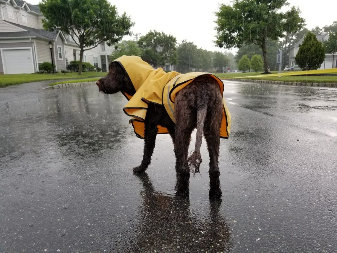
At daybreak this morning we have light rain falling, temperatures are mild with most readings in the Clifton area are in the low 40s.   Winds are brisk out of the east gusting to 20 mph.

Today we will continue to have periods  light rain and drizzle, temperatures should rise to near the 50 degree mark by later in the afternoon.  Rain is likely to continue tonight.

A mild but stormy Christmas eve with rain heavy at times with even a chance of a rare December thunderstorm, temperatures will rise to unseasonably high levels reaching the upper 50s.  Expect about an inch of rainfall.

Rain will end Christmas morning and we should finally see some sunshine in the afternoon, it will be mild with highs in the 50s but it will be windy with gusts to 30 mph, winds diminish at night.

Very nice late December weather Friday and Saturday with plenty of sunshine, quite mild temperatures and light winds.

A cold front will cross the area on Sunday with showers possible along with temperatures falling to near normal levels.

A wave of low pressure will give us a chance of rain or snow on Sunday night.


THE FORECAST:

TODAY – Periods of light rain or drizzle, high near 50.

TONIGHT – Rain likely, lows in the mid 40s.

WEDNESDAY – Rain heavy at times with a chance of a thunderstorm, high in the upper 50s.

CHRISTMAS DAY – Chance of showers till 10am, then becoming mostly sunny and windy, high in the mid 50s.

FRIDAY – Sunny, high near 50.

SATURDAY – Mostly sunny, high in the low 50s.

SUNDAY – Mostly cloudy with a chance of showers, high in the mid 40s, chance of rain or snow at night.

MONDAY – Partly sunny, high in the upper 30s.


MARINE FORECAST:  Small craft advisory in effect till 2am on Wednesday for high seas.  TODAY – East wind to 20 knots, seas 4-6 feet.

OUTLOOK – Small craft advisories expected through Christmas night with no advisories expected Friday and Saturday!


Have a good day!


Milder weather but rain likely from tonight into Christmas morning!


Skies are cloudy again early this morning and most temperatures in the Clifton area and further inland are in the low to mid 30s, winds are light.  Interesting to note the coldest temperatures across New Jersey are in the southern part of the state where skies cleared and readings are in the mid 20s.

Today will be milder than this past weekend and we may see the sun for maybe an hour or so before overcast conditions return this afternoon, there is a chance of some light rain developing this afternoon, rain will become likely tonight.

On Tuesday we may have a break in the rain in the morning but rain will be likely in the afternoon and at night.  Temperatures will reach near 50 degrees.

The heaviest rain will fall Wednesday and Wednesday night with about an inch of rain expected, however it will be unseasonably mild with highs well up into the 50s.

Rain may persist till around 10am on Christmas Day, it will remain mild with highs in the 50s but with stronger winds it will feel cooler.

Friday will be an very pleasant day with dry conditions, mild temperatures and light winds.

The weekend will start off dry and mild but by Sunday cooler weather will move into our area along with a chance of rain or snow showers.


THE FORECAST:

TODAY – Mostly cloudy with a chance of rain after 3pm, high in the low 40s.

TONIGHT – Cloudy with rain likely, low in the upper 30s.

TUESDAY – Rain likely, mainly in the afternoon and night, high near 50.

WEDNESDAY – Rain heavy at times, mild with highs in the upper 50s.

CHRISTMAS DAY – Rain ending in the morning followed by clearing, windy and mild, high in the mid 50s.

FRIDAY – Mostly sunny, high near 50.

SATURDAY – Partly sunny, high in the low 50s.

SUNDAY – Partly sunny with a chance of rain or snow showers, high in the low 40s.


MARINE FORECAST:  TODAY – East-northeast winds to 9 knots, seas 1-2 feet.

OUTLOOK – Advisories possible on Tuesday and likely Wednesday and Thursday.  No advisories expected on Friday.


Have a good day!


Mostly cloudy and chilly day today! Winter begins at 6:03PM!


Skies remain cloudy at daybreak this morning and temperatures are mostly in the upper 20s, winds are light.

Today we will continue to see mostly cloudy skies, temperatures should be a few degrees higher than on Saturday when we only reached the low 30s, today’s highs will be closer to the 40 degree mark. There is an slight chance of a flurry or two.

Mostly cloudy conditions will continue on Monday with a chance of some afternoon and evening light rain.

Milder on Tuesday with chances of mainly light rain continuing.

A stronger storm will move to our west on Christmas Eve, rain will become heavy at times and with a strong southerly flow temperatures may approach 60 degrees.

Showers may extend into Christmas morning then we will have clearing by the afternoon, it will be a mild but windy Christmas Day with highs in the  low 50s.

Dry weather for Friday with cooler temperatures but still above normal for this time of year.

Mild weather will continue into next weekend along with a chance of showers.


THE FORECAST:

TODAY – Mostly cloudy, high near 40.

TONIGHT – Mostly cloudy, low in the upper 20s.

MONDAY – Mostly cloudy with a chance of light rain in the afternoon and night, high in the low 40s.

TUESDAY – Cloudy with a chance of rain, high near 50.

WEDNESDAY – Rain, possibly heavy at times continuing at night, high near 60.

CHRISTMAS DAY – Chance of morning showers then partial sunshine by the afternoon, high in the low 50s.

FRIDAY – Mostly sunny, high in the upper 40s.

SATURDAY – Partly sunny with a chance of a light shower, high in the upper 40s.


MARINE FORECAST:  TODAY – Northwest wind to 8 knots, seas 1 foot.

OUTLOOK – No advisories expected on Monday, advisories possible on Tuesday and likely Wednesday and on Christmas.


Have a good day!


Seasonably cool and dry weather this weekend!


We have cloudy skies at daybreak this morning and most temperatures are in the upper 20s, winds are lighter than they have been the last few days.

Today will be chilly with highs only in the upper 30s, winds will be light with partly sunny skies.

There is a low chance of a few flurries before dawn on Sunday, clouds will then give way to a mostly sunny day, again with light winds, temperatures will be a couple of degrees higher than on Saturday.   Winter begins at 6:03Pm Sunday evening.

We should stay dry until Monday afternoon when we will then have a chance of rain into Tuesday, temperatures will seasonably mild

A stronger low pressure system will develop to our west on Wednesday giving us rain and quite mild temperatures, expect about an inch or two of rainfall.

Clearing by early morning Christmas Day it will be windy, temperatures will still be above normal.

Dry and seasonably mild on Friday.


THE FORECAST:

TODAY – Partly sunny, high in the upper 30s.

TONIGHT – Mostly cloudy with a chance of a few flurries, low in the upper 20s.

SUNDAY – Cloudy early then becoming mostly sunny, high in the low 40s.

MONDAY – Mostly cloudy with a chance of rain in the afternoon and evening, high in the mid 40s.

TUESDAY – Cloudy with rain likely, high in the mid 40s.

WEDNESDAY – Rain, moderate to heavy at times into the evening, quite mild, high in the upper 50s.

CHRISTMAS DAY – Partly sunny and windy, high in the mid 40s.

FRIDAY – Mostly sunny, high in the upper 40s.


MARINE FORECAST: TODAY – North wind to 9 knots, seas 1 foot.

OUTLOOK – No advisories through Monday with advisories possible on Tuesday and likely on Wednesday.


Have a good day!


Dry and cool weather through the weekend! Rainstorm on Christmas Eve!


We have mostly cloudy skies early this morning and temperatures are in the mid 30s in the Clifton area to around 30 further inland, winds are still a little brisk coming from the northwest up to 15 mph.

Today we will have variable amounts of clouds and sunshine, winds will diminish by this afternoon and temperatures will be similar to yesterday’s mainly in the low 40s.

We will have a cool but mainly dry weekend is in store for our area, however we will have considerable cloudiness both days.

A week coastal disturbance will give us a chance of rain Monday afternoon and Tuesday.

A stronger low will affect our area on Wednesday with the potential of strong winds and heavy rain, temperatures will be quite mild with highs in the 50s.

Clearing on Christmas Day but it will be windy, temperatures will be slightly above normal reaching the mid 40s.


THE FORECAST:

TODAY – Partly sunny, high in the low 40s.

TONIGHT – Mostly cloudy, low in the upper 20s.

SATURDAY – Partly sunny, high in the upper 30s.

SUNDAY – Mostly cloudy, high in the low 40s.

MONDAY – Mostly cloudy with a chance of rain in the afternoon and evening, high in the mid 40s.

TUESDAY – Cloudy with a chance of rain, high in the upper 40s.

WEDNESDAY – Rain, possibly heavy at times, windy and mild, high in the mid 50s.

CHRISTMAS DAY – Partly sunny and windy, high in the mid 40s.


MARINE FORECAST:  TODAY – Northwest wind to 14 knots, seas 1 foot.

OUTLOOK – No advisories expected through Monday morning with possible advisories Monday afternoon into Tuesday.


Have a good day!